Embedded Files
Where are Tom and Lennie Now? - Click here for our current location !
Add your comments and feedback here!
Day 8 took us on a quick sprint from Savannah GA to Charleston SC. The weather was wonderful until around 9:00 PM when some thunderstorms rolled through. This was no problem, since by then we were tucked safely away in our hotel room for the night.
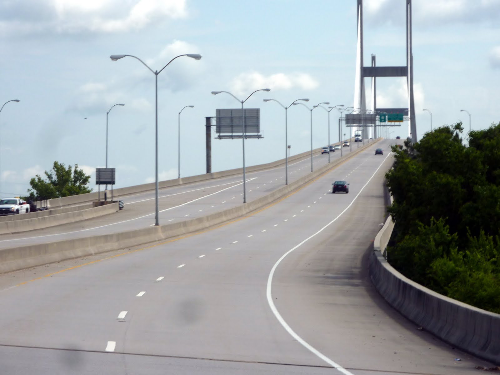
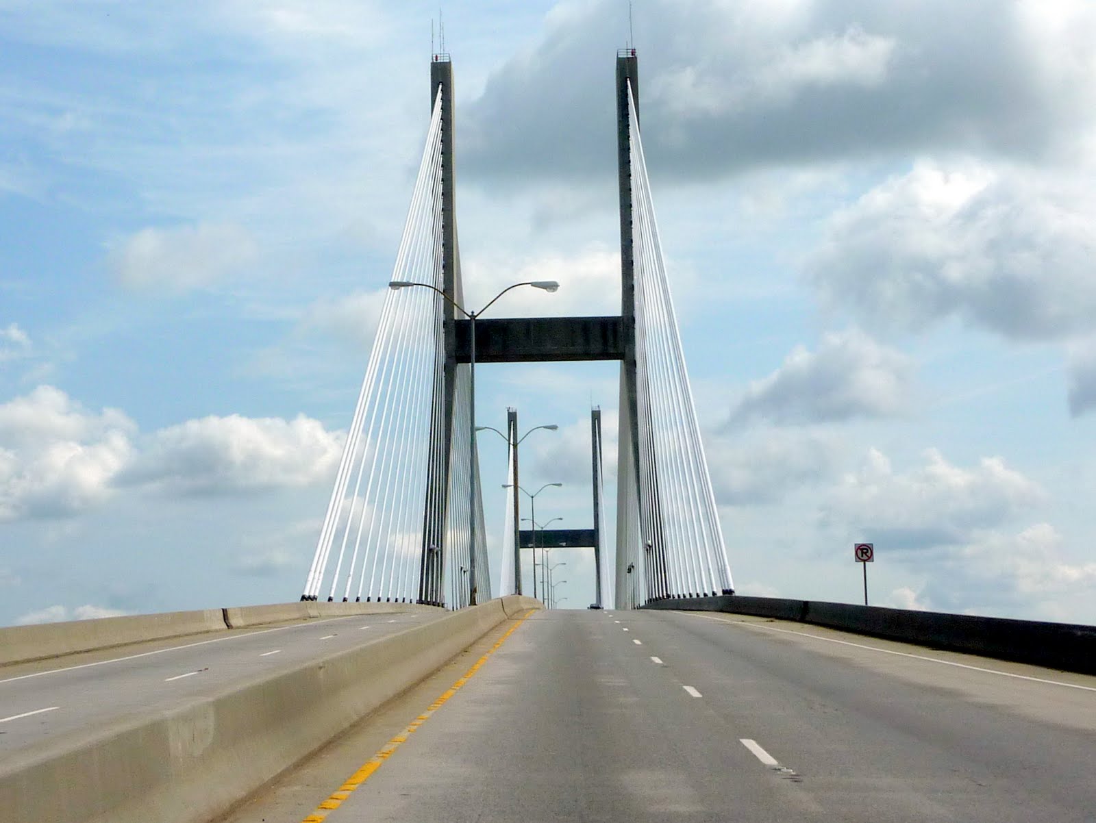
Just beyond our hotel in Savannah, we crossed over the Talmadge Memorial bridge. Completed in November 1990, the new Talmadge Memorial cable-stayed bridge replaced the old Talmadge cantilever truss bridge (built in 1953), which had become a danger for large ships entering the Port of Savannah, home to the largest single ocean container terminal on the U.S. eastern seaboard, and the nation's fourth-busiest seaport.
The new bridge provides 185 ft of vertical navigational clearance for oceangoing vessels. Its horizontal clearance is 1,023 feet, with both main piers located on the north and south banks of the Savannah River. With a main span of 1100 ft and a total length of 1.9 miles, the new Talmadge Memorial carries four lanes of traffic.
Here is a pretty neat photo of the Savannah Historical District taken from atop the Talmadge Memorial Bridge.

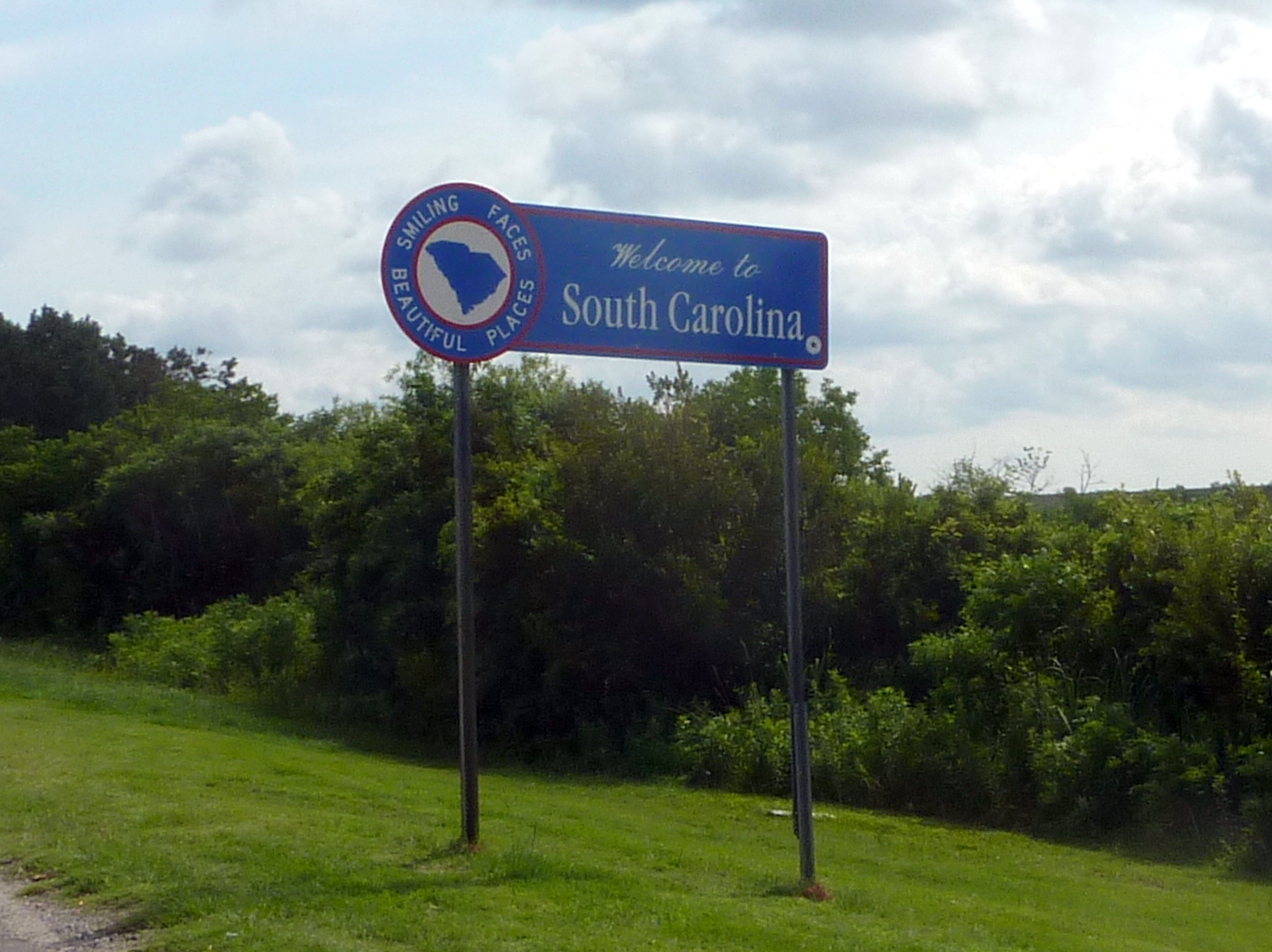
Once across the bridge, we quickly left Georgia, and entered into South Carolina. We have already traveled in SC, but as said before, Lennie likes to snap photos of the state welcome signs.
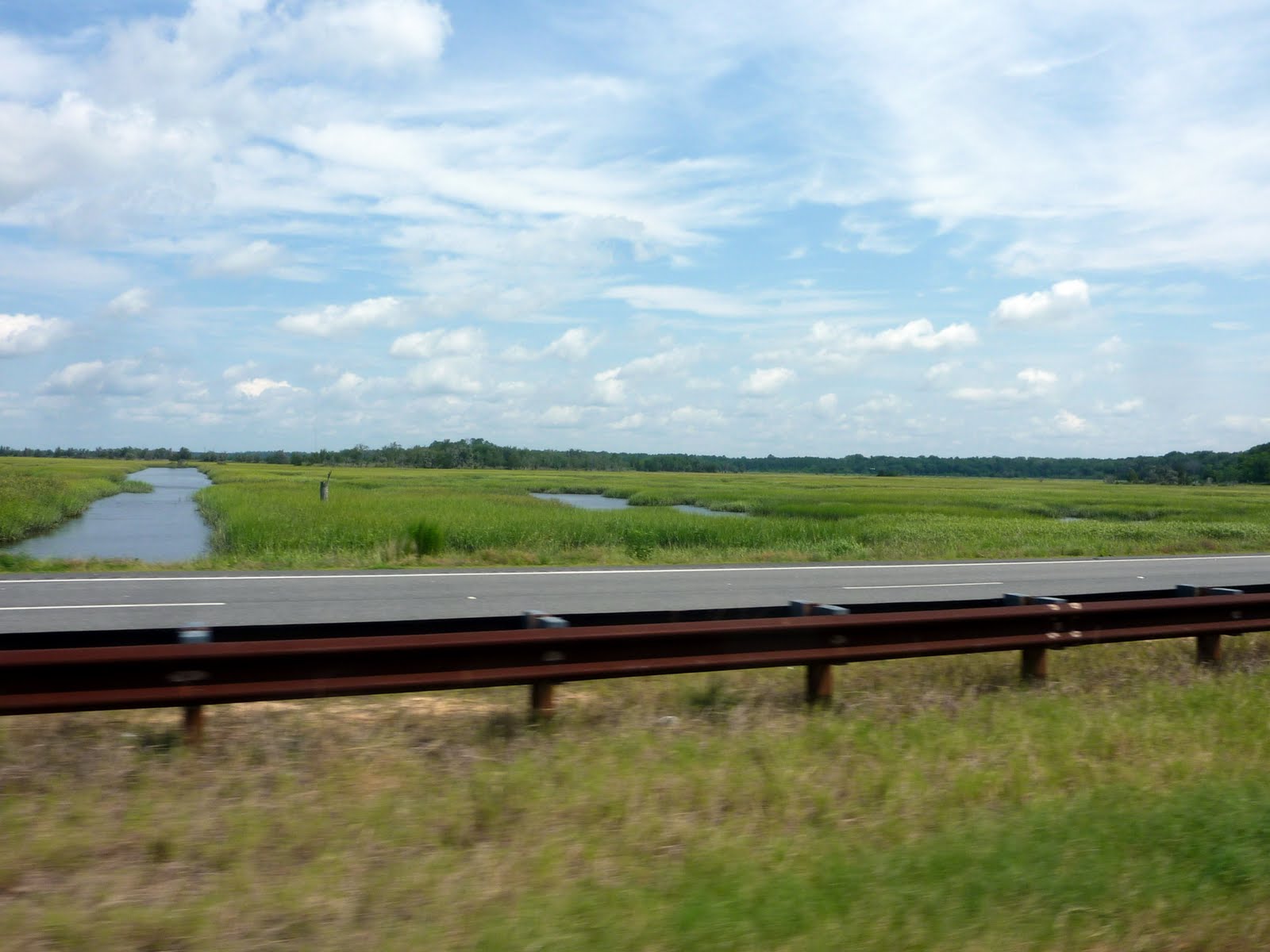
The ride to Charleston took us down Rt 17, which was a fairly scenic, tree lined road through mainly marsh area. Nice to see the trailer is keeping up with us :)

Here you can really see the marshiness (ok, I made up that word) of the area. Not much else in this area, guess you would be daft to build in a marsh :) For any Monty Python fans out there, this reminded me of the Swamp Castle scene from the Holy Grail where the King is telling his son about his inheritance. "When I first came here, this was all swamp. Everyone said I was daft to build a castle on a swamp, but I built it all the same, just to show them. It sank into the swamp. So I built a second one. That sank into the swamp too. So I built a third. That one burned down, fell over, then sank into the swamp. But the fourth one stayed up. And that's what you're going to get, Lad, the strongest castle in all of England."
An obligatory shot of the bike dash while underway. As I said before, sometimes Lennie gets bored back there.

We saw a number of these trucks along the way. They appeared to be full of coarsely ground wood chips. Lennie said they looked like they were destined for a huge hamster cage.

Not positive, but I do not think it's a good sign to see a fire truck with flashers going in an open gas station??

After a 2 hour stretch on the road, we arrive in the Charleston area. We passed a pretty nice sized marina right near downtown.

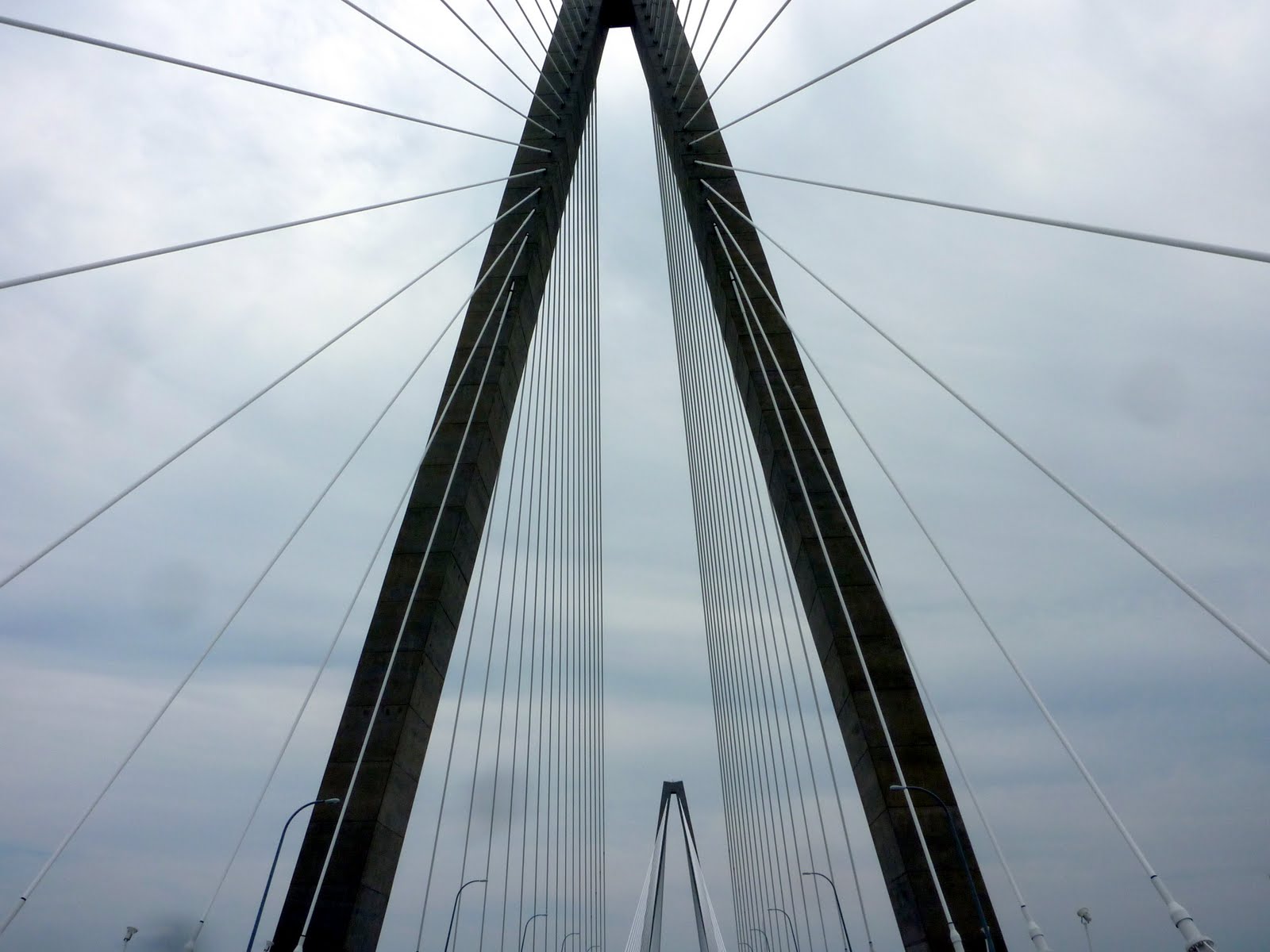
Our hotel for the night is located just over the river from downtown Charleston, in an area known as Mt. Pleasant. To cross the river, we had to travel across the Arthur Ravenel Jr. Bridge, also known as the New Cooper River Bridge. Look familiar? It looks almost exactly like the bridge down in Savannah. The main difference is this bridge carries an 8 lane deck rather than the 4 lane deck for the bridge in Savannah.
Charleston’s new bridge over the Cooper River is a cable-stayed suspension design with two diamond-shaped towers, each soaring to a height of 575 feet. The total length of the structure is 13,200 feet, with the main span stretching 1,546 feet between the towers. 128 individual cables anchored to the inside of the diamond towers suspend the deck 186 feet above the river. The roadway consists of eight 12-foot lanes, four in each direction. A campaign by locals eventually led to the addition of a 12-foot bicycle and pedestrian path to the design, which runs along the entire south edge of the bridge overlooking Charleston Harbor and the Atlantic Ocean.
The bridge superstructure is designed to withstand shipping accidents and the natural disasters that have plagued Charleston’s history. The span is designed to endure wind gusts in excess of 300 mph, far stronger than those of the worst storm in Charleston's history, Hurricane Hugo in 1989. Engineers also had to be mindful of the 1886 earthquake that nearly leveled Charleston. So, the bridge is designed to withstand an earthquake to approximately 7.4 on the Richter scale without total failure. To protect the bridge from uncontrolled ships, the towers are flanked by one-acre rock islands. Any ship will run aground on the islands before it can collide with the towers.

Once we checked into our hotel and dropped off our luggage, we headed out for dinner. We ended up at a local BBQ place called Melvin's. The food was pretty good. Emeril Lagasse claimed that Melvins has "Americas best cheeseburger." Kind of odd for a BBQ joint. Lennie tried it, and thought it was fine, but nothing special... sorry Emeril...
After dinner, we took a drive around the historic district of Charleston. Unfortunately Lennie left the camera back at the hotel. Oh well, we'll be back down there tomorrow, so we can get some photos then. Some of the homes in the historic district are really impressive.
Tomorrow we will spend time touring downtown Charleston, and perhaps making a visit to Patriot Point Park to see the USS Yorktown Aircraft Carrier.
After a little sight seeing, we will take a quick 2 hour ride out to Columbia SC which will set us up with a good starting point for our drive home on Sunday and Monday.
Today we rode 150 miles from Savannah GA to Charleston SC. This brings our trip total to 2039 miles. Below is a map of today's route.
Google Sites
Report abuse