Embedded Files
Where are Tom and Lennie Now? - Click here for our current location !
Add your comments and feedback here!
Day 8, and there are two words to describe it... HOT, and twisty. Hot is NOT good, but twisty can be fun.
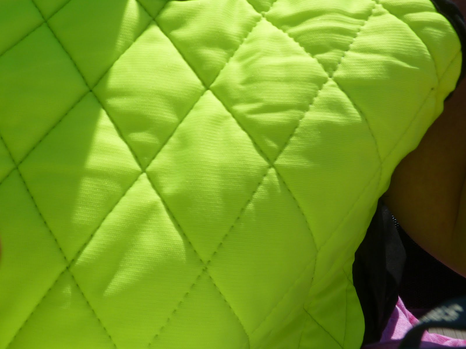
Todays forecast calls for a high of close to 100 degrees, and by the time we wake up and load the bike it is already over 90. A fellow I work with told me about cool vests. Essentially, you soak them in water and toss them on. The wind passing over the vest while you ride evaporates the water and cools you down as well. Lennie and I bought a couple before we left home, and today was the day to try them out. You can see from the photo below that they are very fashionable, and you all know what a fashionista I am. The hi viz yellow is the latest thing in fashion vests, and besides, it matches our helmets :) At least people might actually see us on the road!

These vests are supposedly made from some special fiber that swells as it soaks up a ton of water. They worked really well at keeping us a little more comfortable in the 100 degree heat. The only issue is that they need to be dunked in water every couple of hours, but that is a simple matter as we usually are stopping for fuel at that same frequency.
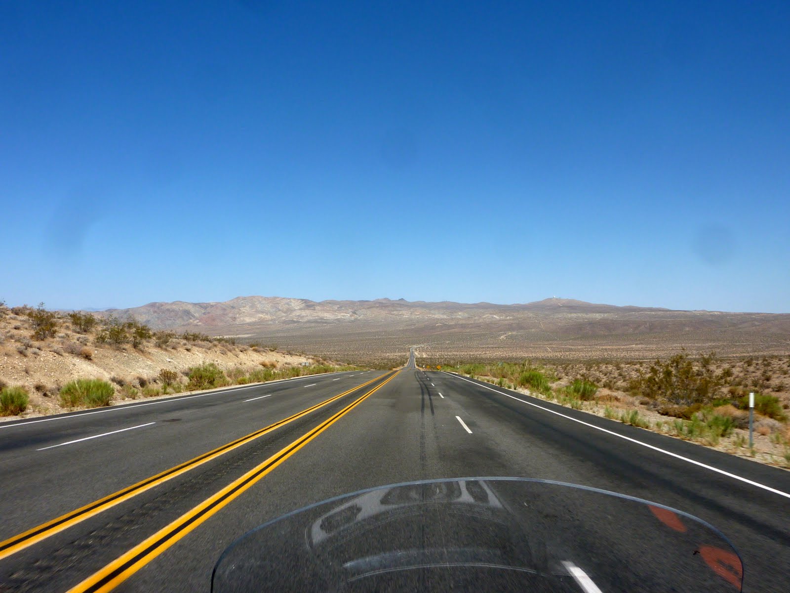
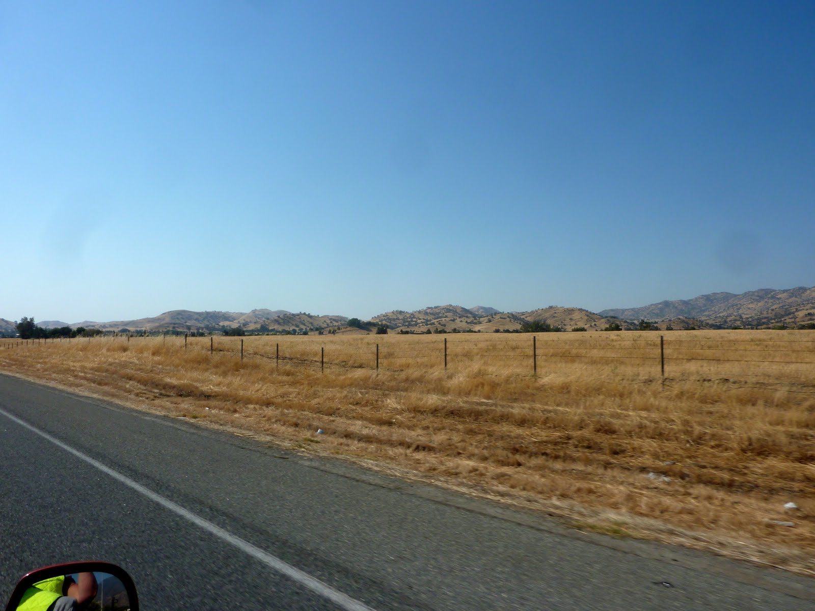
We left Barstow and headed for the Sequoia National Forest and Monument area to the North. Once outside of the small town of Barstow, we found ourselves, once again, in an area with virtually nothing around. As far as you can see in any direction yielded nothing but scrub brush and dirt/sand.
We did run across a home or two on our way to the foothills of the Sierra Nevada's. As you can see, this area is really depressed. Seeing this kind of living conditions makes you thankful for whatever you might have. It also makes me wonder how these people shop, get mail, etc. We are at least 50 miles outside of Barstow and there is nothing ahead of us for another 50-60 miles. Does the mail man really make a 100 mile round trip to being these people mail? And "honey we need some bread" turns into a multi-hour endeavor.

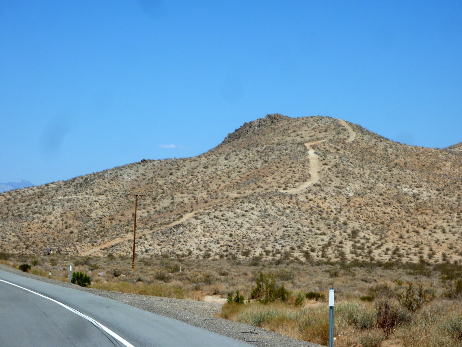
We saw lots of un-maintained/dirt roads in this area. I told Lennie that this would be a great place to own a dual sport bike that you could take off road.
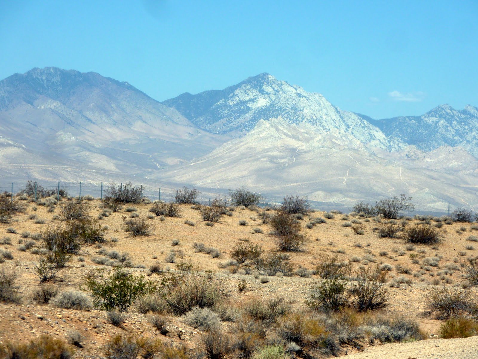
These shots were taken at an elevation of about 2500 feet. I am told that there are huge redwood trees in those mountains up ahead, but from these photos I have my doubts. Again, nothing but scrub brush, dirt, and sand in view, and the mountains do not appear to house much that is green.
A little higher here, roughly 3500 feet, and we start to see a bunch of cactus along the roadway.
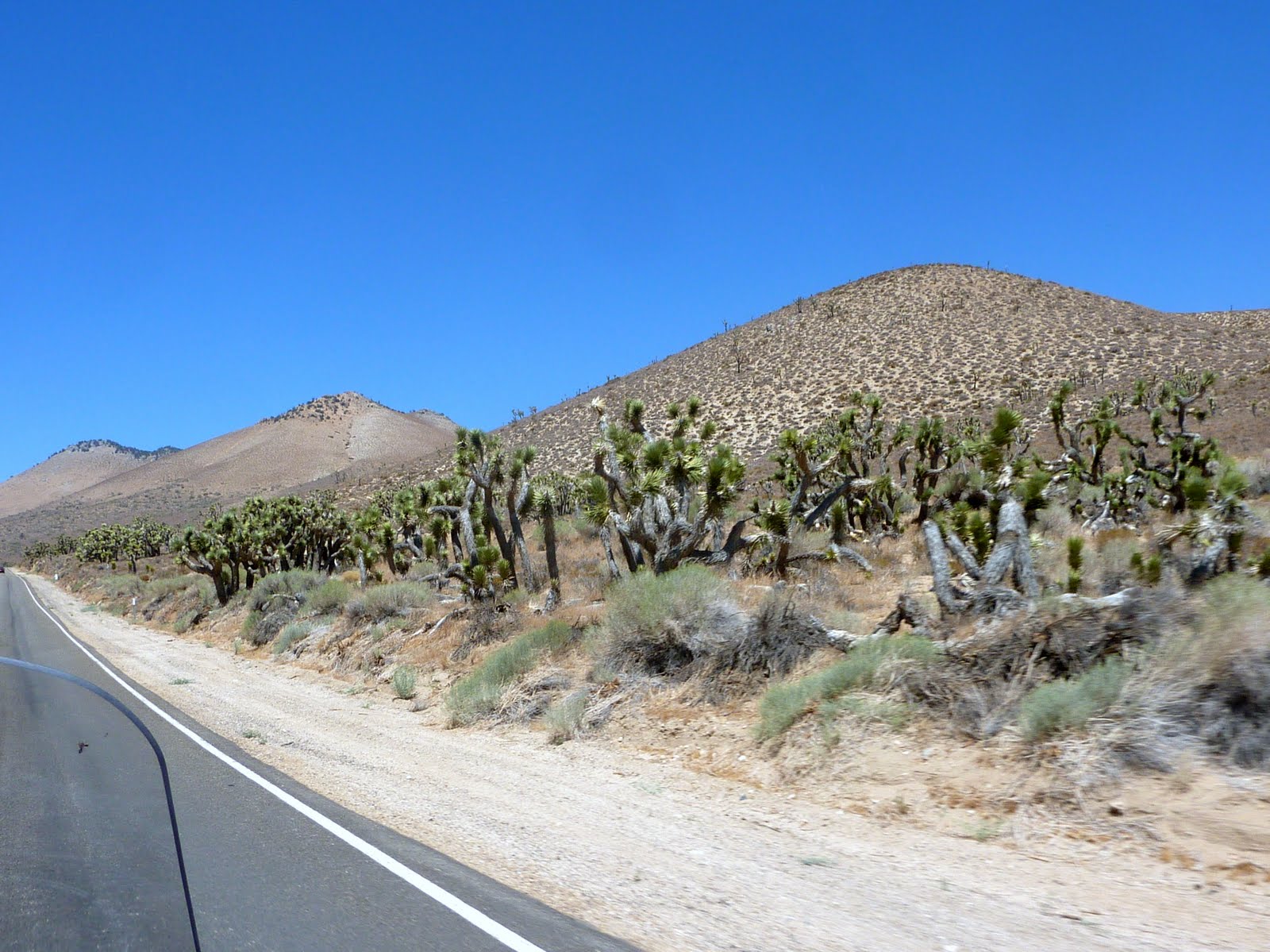
Some of the cactus are in pretty large clumps.
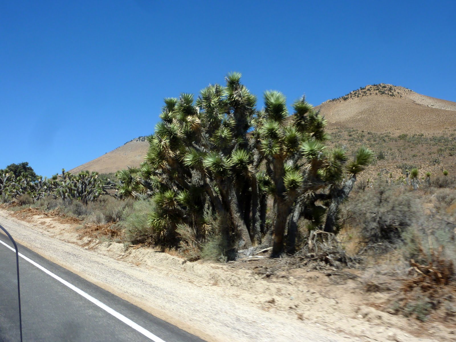
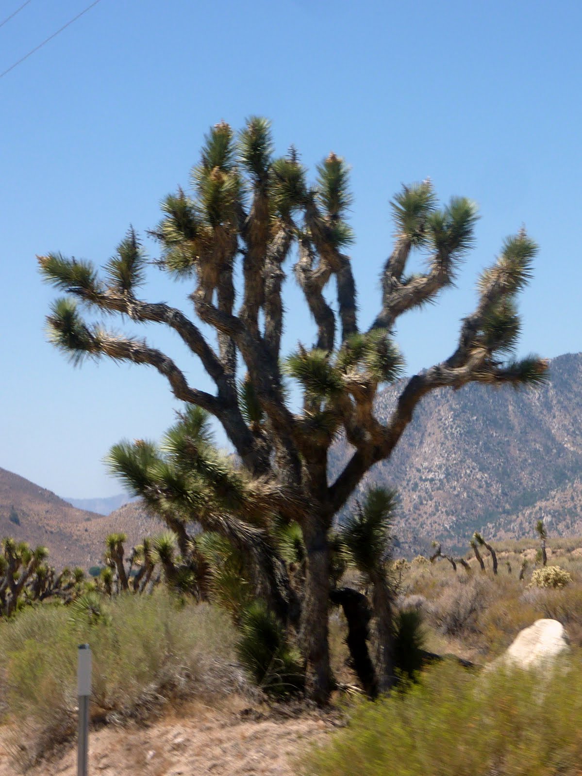
Some are also pretty tall !!!
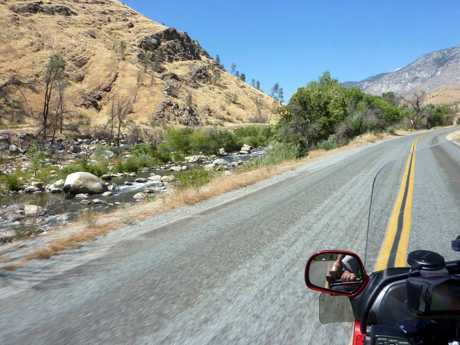
We climb to about 4500 feet, and we are now tracking along side the Kern Valley River. This river is supposed to be great for kayaking and rafting, but right now there is very little water. The river is fed by snow melt near Mt. Whitney, but by August, there is little flow. This is also the only river in the Sierra Nevada range that flows to the South.
We climb another 1000 feet to about 5500, and the road narrows, and we see very little traffic. Feels like we are the only folks on the road.

Lennie noticed these plants that look like some sort of Yucca growing in the rocks along the roadway.

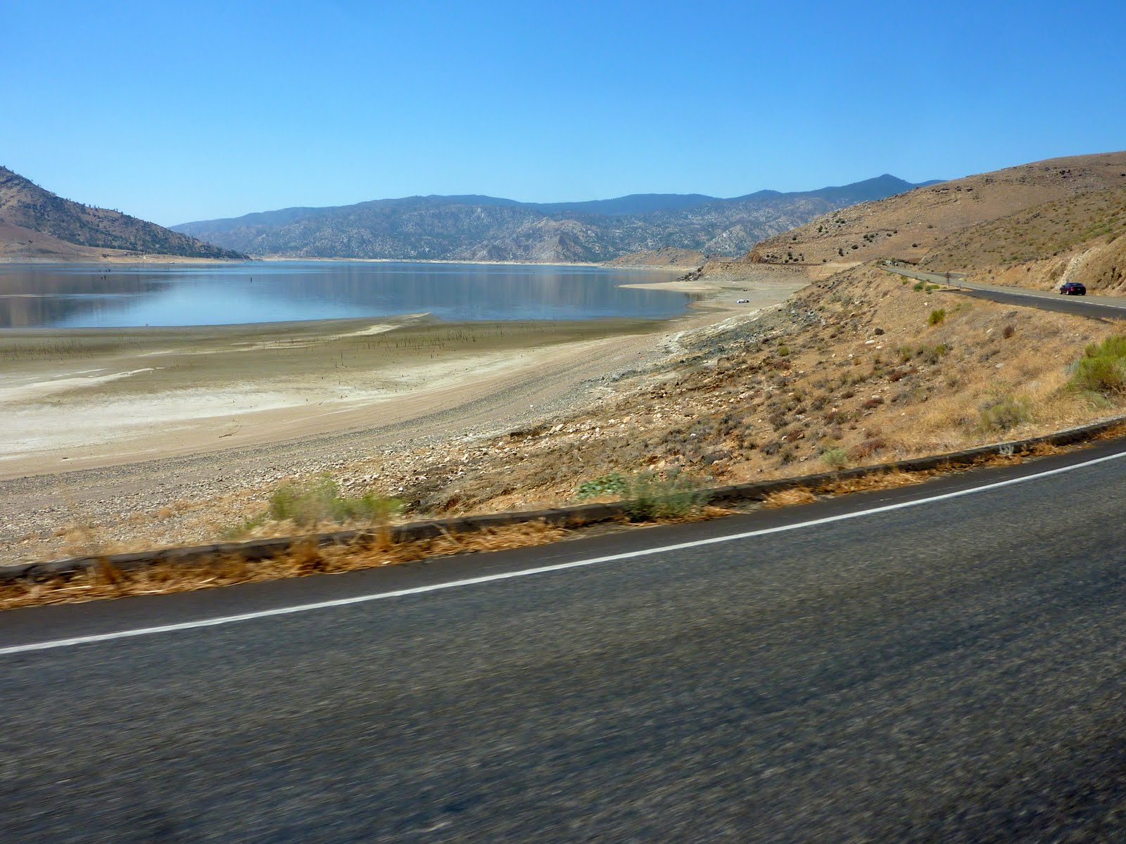
We dropped back down to about 2500 feet, and passed nearby Lake Isabella. Much like the Kern River, there was very little water in the lake. It was more like the Isabella puddle. In fact, I think the flooded area just south of Vegas had more water than this lake! This lake is supposed to be the main water supply for the town of Bakersfield (about 50 miles to the South). With these water levels, I wonder what the folks of Bakersfield are drinking these days.
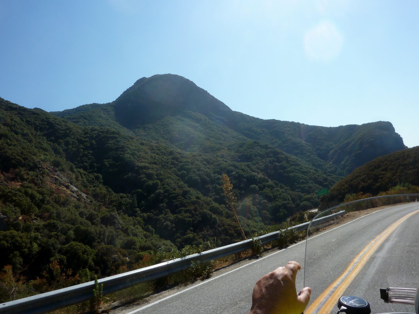
We are now on the Sierra Divide, and as we climb back up to about 4500 feet, we start to see a little greenery.
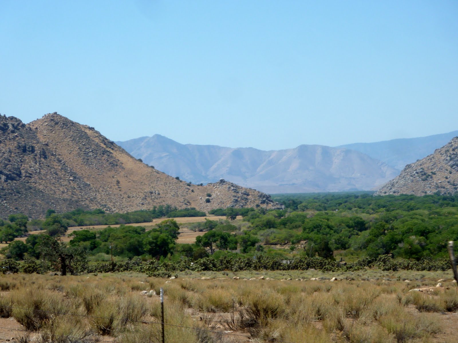
At roughly 600o feet, we actually start to see some tree cover near the roadway. The temperature has also dropped down into the mid eighties, yeah !!!

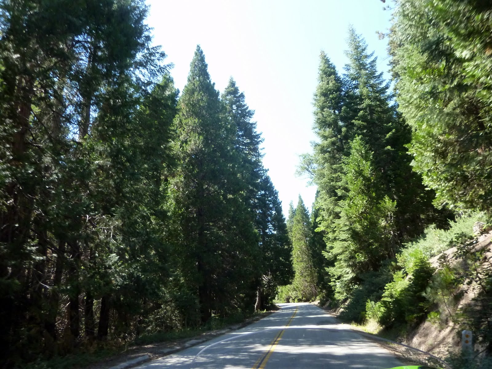
Once we hit about 7000 feet, we start to see a lot of pine coverage. My previous doubts have been squelched.
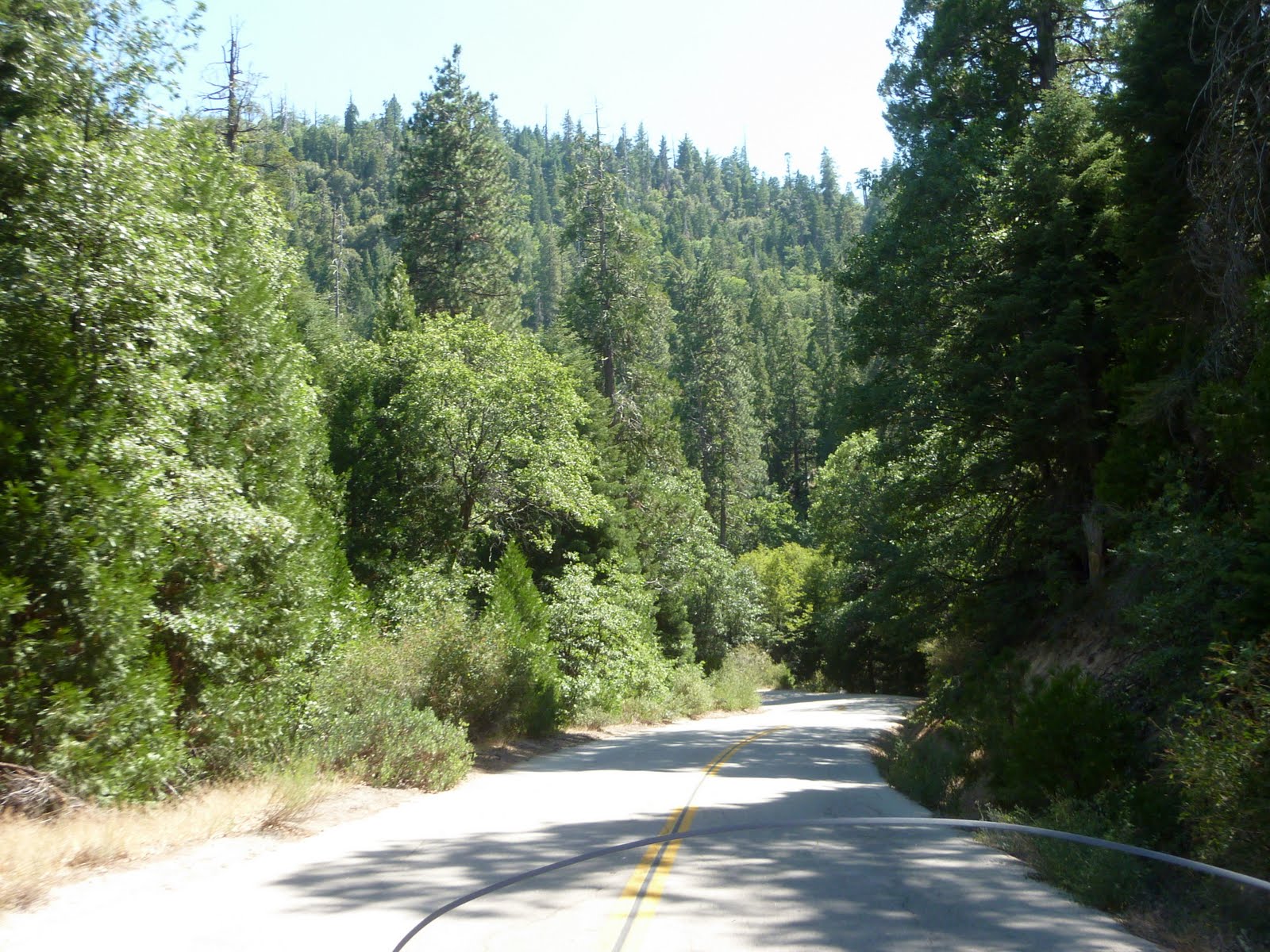
The tree coverage is actually pretty thick at this altitude. Again, mostly pines up here. Oh, and no signs of civilization, and only a car or two passing in the other direction during this whole 80 mile stretch.
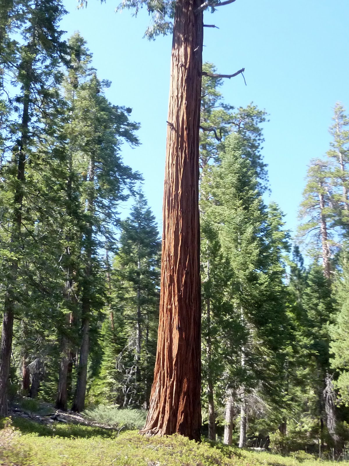
We finally start to notice some large Sequoia trees. Not the "trunk as wide as your car" type of Sequoias, but Sequoias none the less. The trunk coloring on these trees is really amazing. I expect that tomorrow, when we visit Sequoia National Park, and Kings Canyon National Park, we will see some of the Giant Sequoias.

After 80 miles of the twisty mountain roads, I am ready for something straight. At this point we peaked at about 8000 feet and are starting our drop back down into the Central Valley. You can see how much greenery actually exists at this altitude.
Once we hit the Central Valley floor, we are back down to about 500 feet above sea level. The temps are back up to 100 at this point, and we are looking forward to getting to our hotel and some air conditioning (only 20 miles to go).
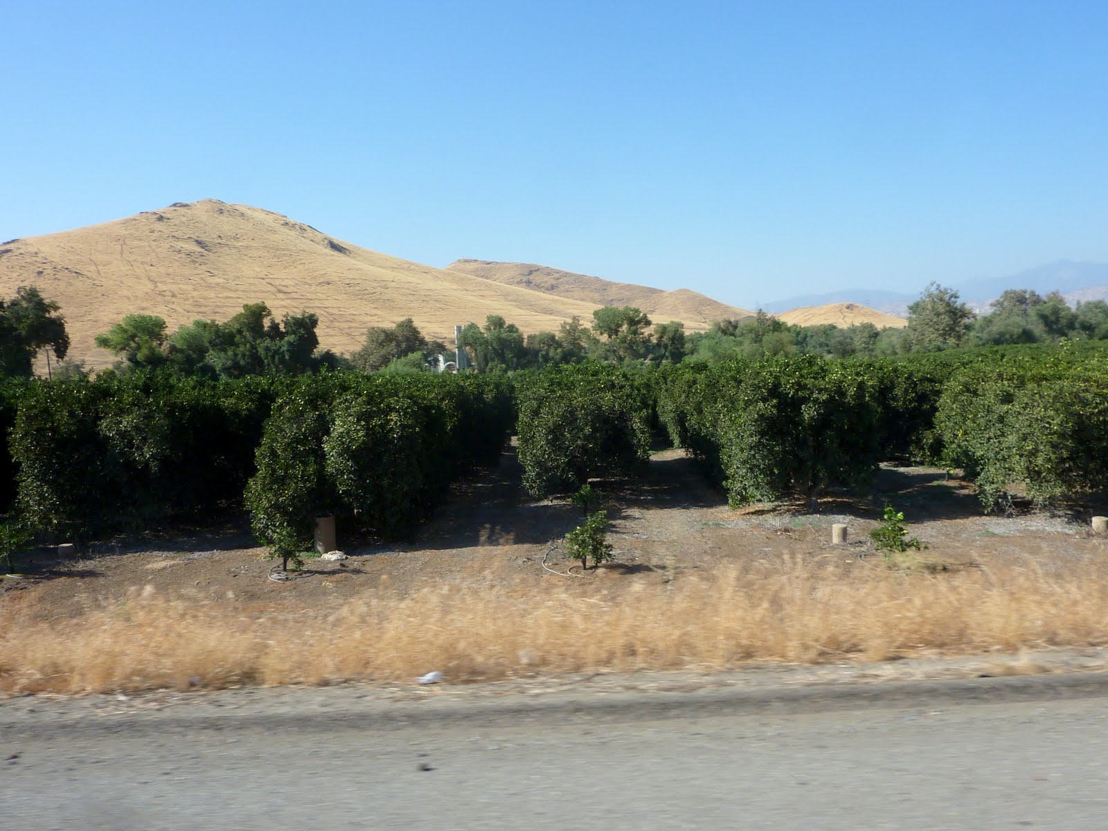
We passed a couple of orange orchards along the way just outside of Porterville CA.
Tomorrow we will do some more mountain driving as we try to find some larger Sequoias in Kings Canyon and Sequoia National Parks. The forecast is calling for highs in the upper 90's, so the trendy cool vests will get used again.
We traveled 230 miles today from Barstow California, through the Sequoia National Forest, and on to Porterville California. This brings the trip total to 2597 miles. Below is a map of the route from today.
Google Sites
Report abuse