Embedded Files
Where are Tom and Lennie Now? -Click Here For Our Current Location
Don't forget to read about yesterday too. You can find the details here.
The plan for today's ride, includes a 100 mile portion of the Coronado Trail (Rt 191). We will head from Silver City, NM, to Morenci, AZ, where we will pick up the Coronado Trail and follow it roughly 100 miles to Alpine, AZ. The Coronado Trail in this area passes through a portion of the Apache National Forest. We will then make a stop at the Petrified Forest National Park (our first of 7 National Parks on this trip), and then head on to Holbrook, AZ for the night.
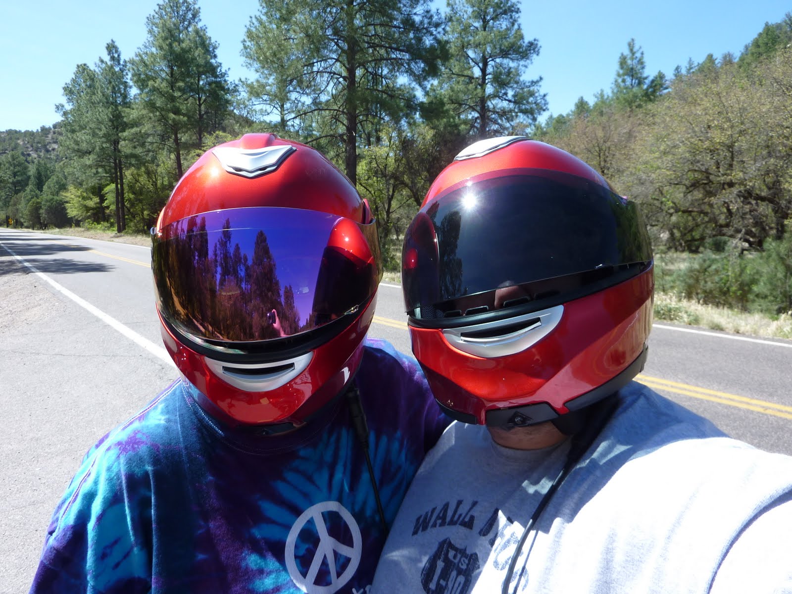
I made a quick "stretch our legs" stop along the route, and Lennie decides to disappear into the forest :)

Not much in this particular area to photograph, so I guess WE will have to do.
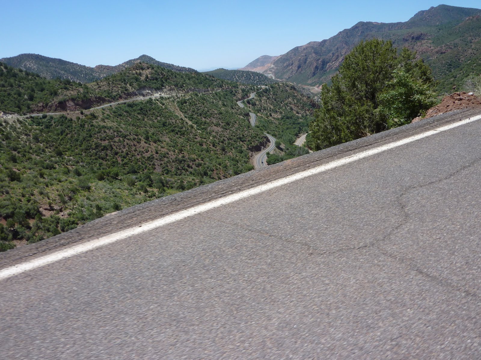
The views getting up to Morenci where fabulous.
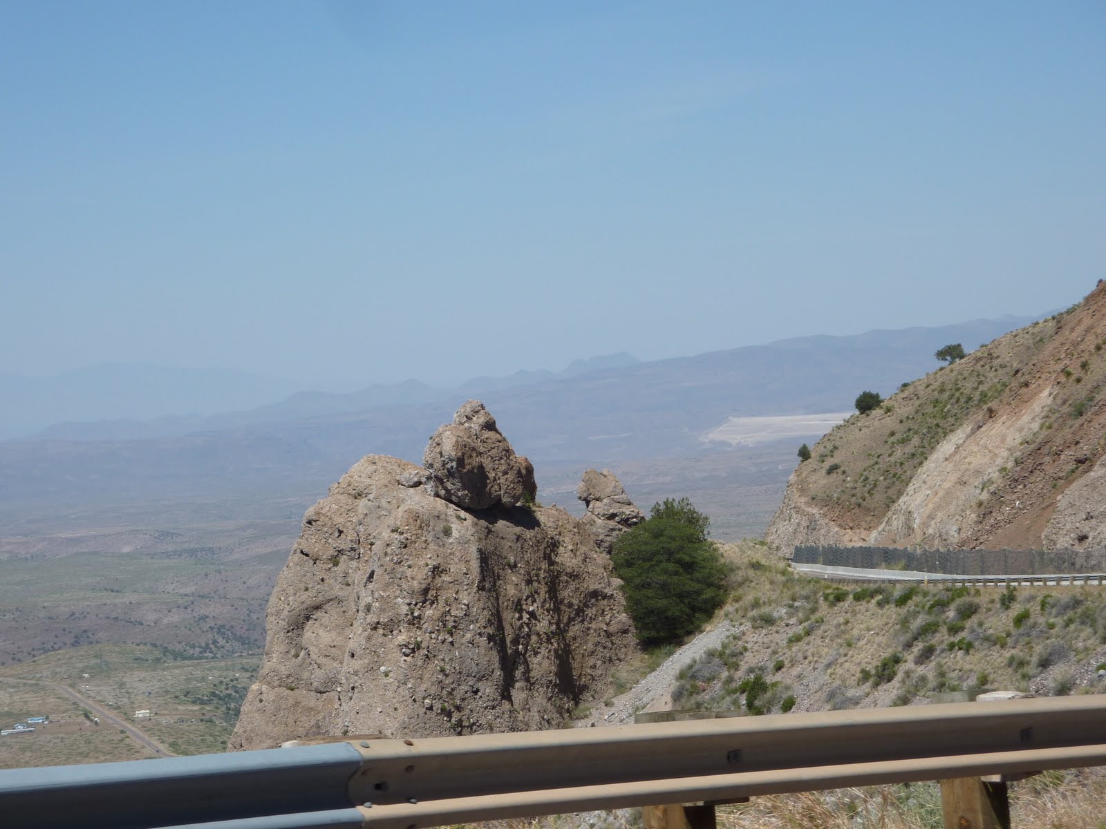
This is truly a biker's paradise, tons of switchbacks, with steep mountain grades.
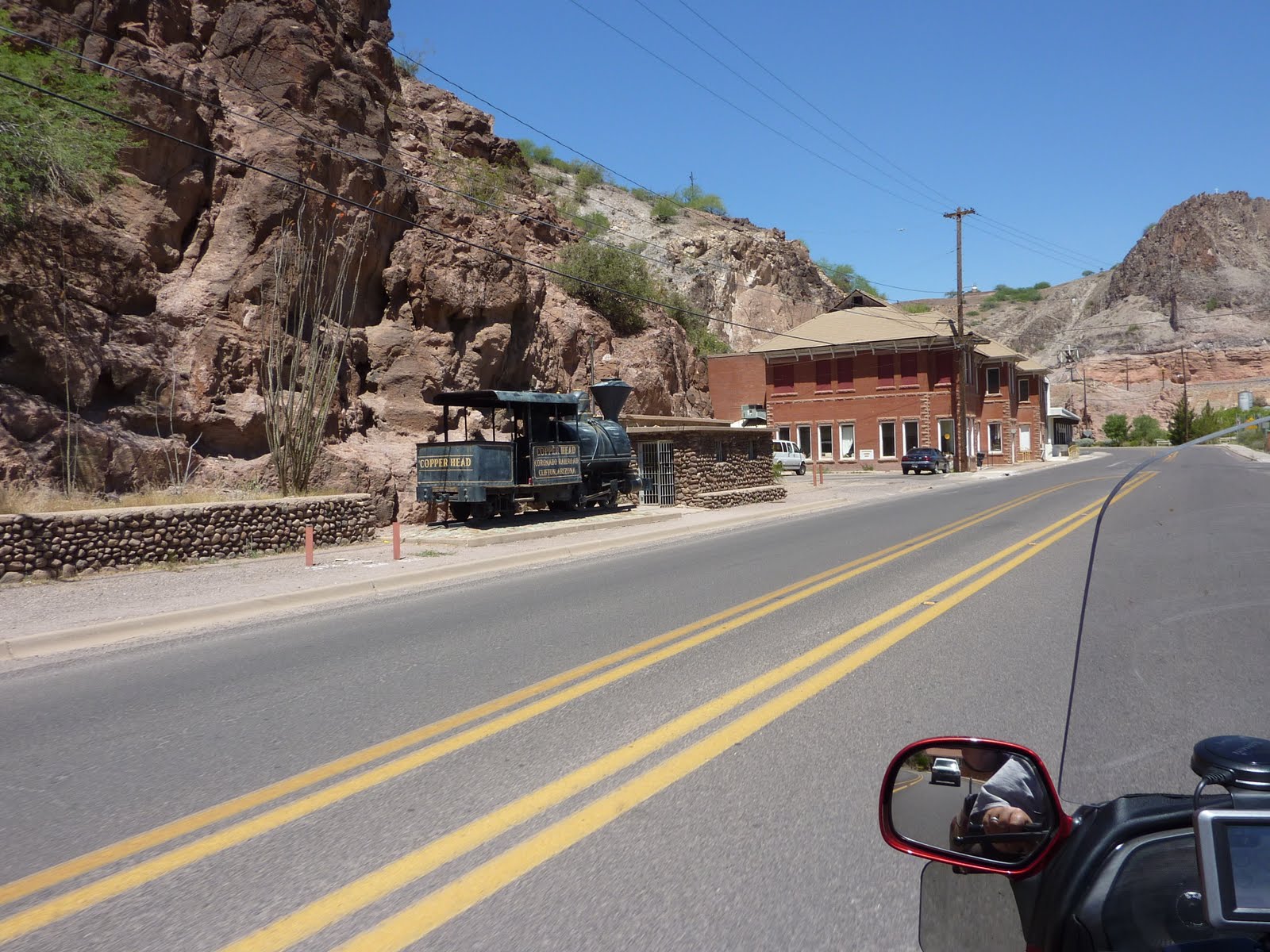
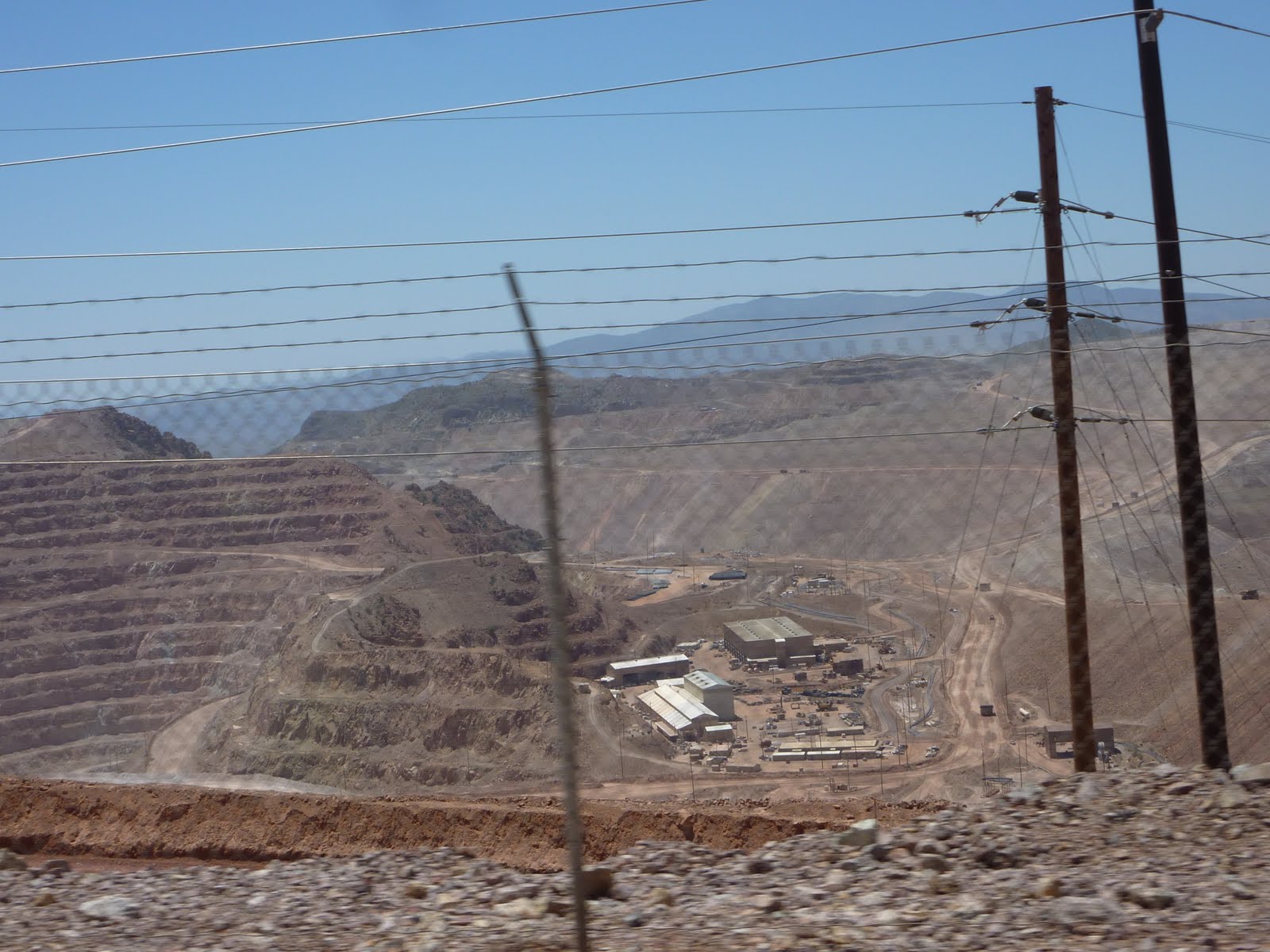
We rolled into Morenci, which is a copper mining town. It is home to one of the largest open pit copper mines in the world, and the largest in America.
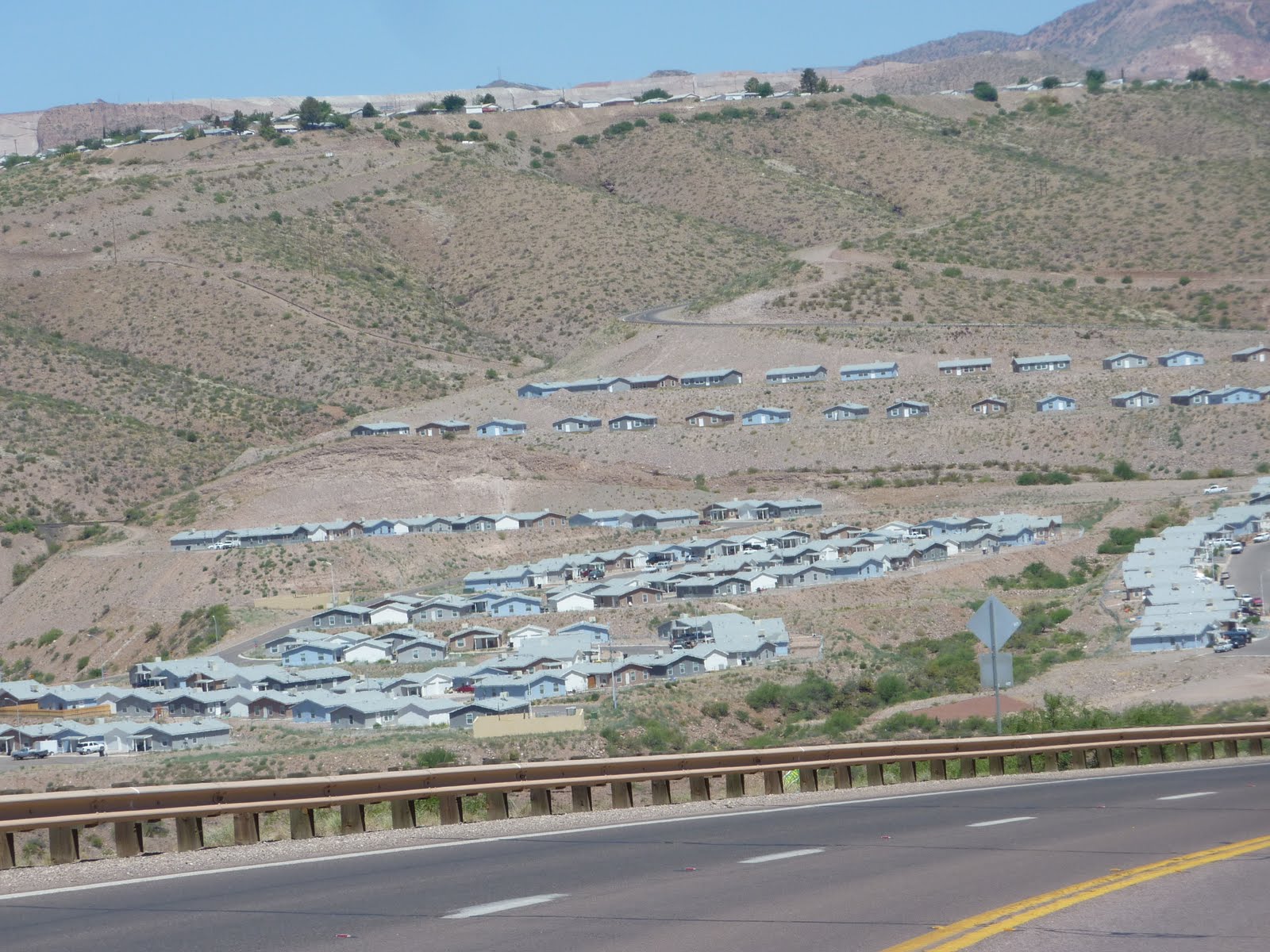
The copper mine is, of course, the main business in Morenci. In fact, in 2008 when copper prices rose, and copper became scarce, the mine doubled its employee count to over 4000 people, and increased their output by about 60%. They also built hundreds of additional houses for the workers. You can see some of the housing in the photo below.
An interesting fact, every single home in Morenci, both old and new, is owned by Freeport-McMoRan, the owner of the Morenci mine.
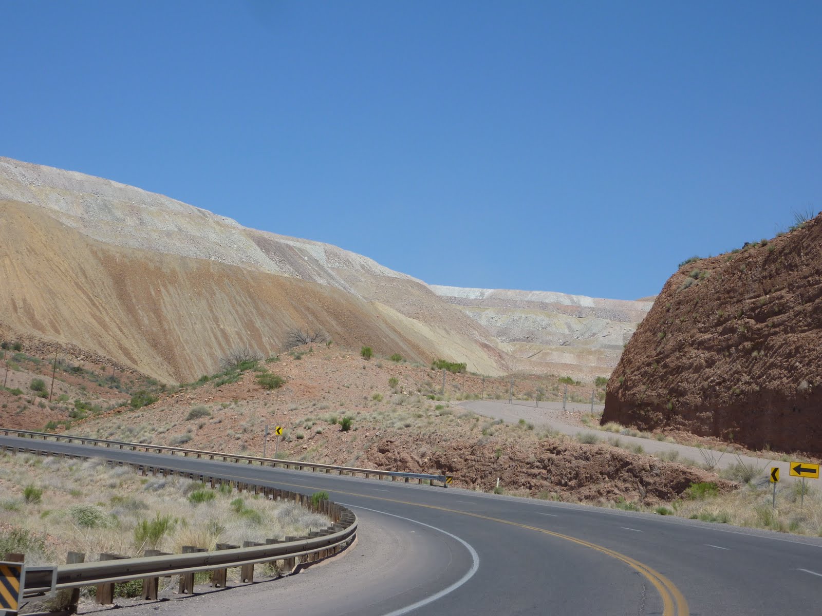
The mining area is huge !!
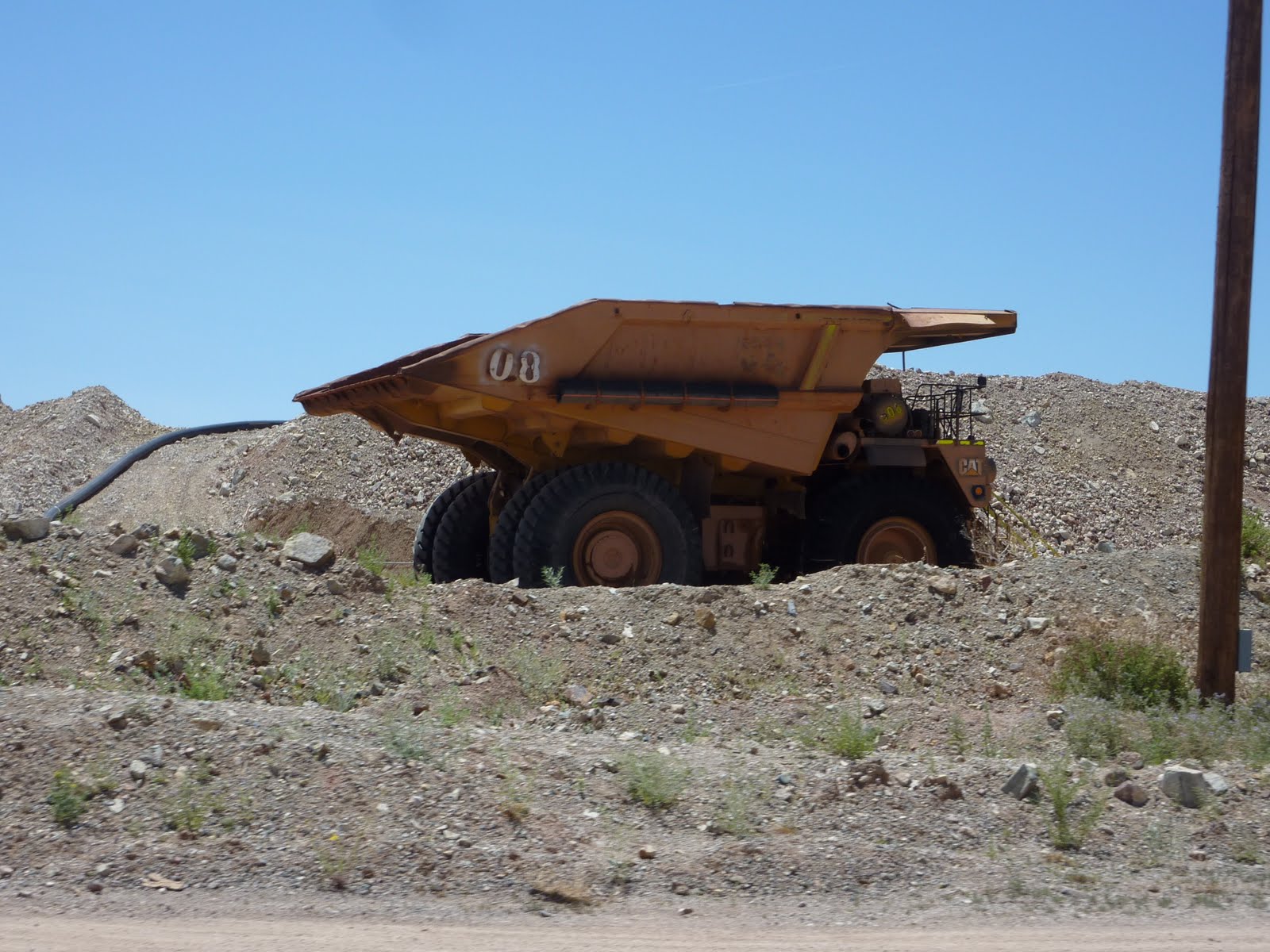
And the trucks that move the ore are huge as well. There were many of these trucks running around the mining site.
A shot looking down into one area of the mine from Rt 191.
As we headed north out of Morenci, the Coronado Trail became extremely challenging. This is a very dangerous mountain road with many sharp curves, and little or no shoulders, on steep cliffs. There are tons of highly technical and extremely steep switchbacks. Roads like this are really fun on the bike, but demand a lot of concentration, and the downside is that I do not get to gawk at much of the scenery. I have to rely on Lennie's pictures :)
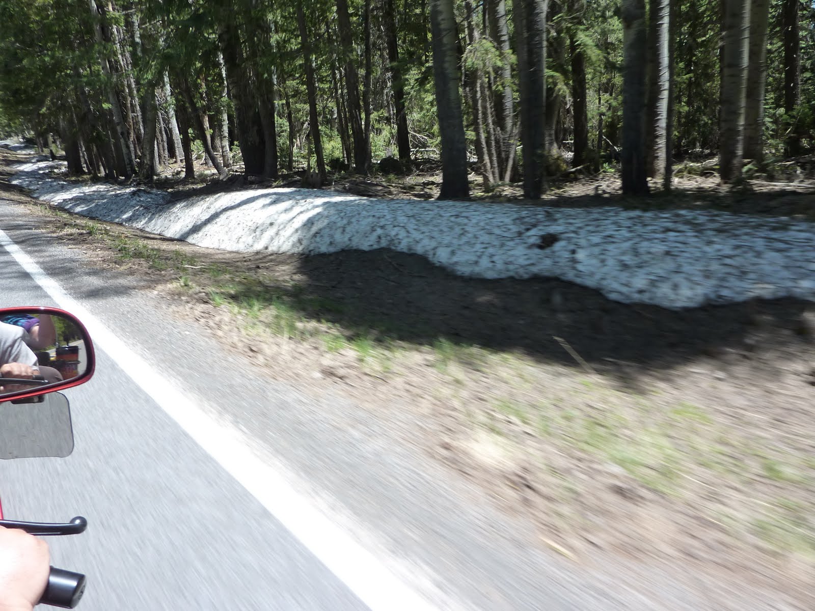
There was still a little snow above 9000 feet.
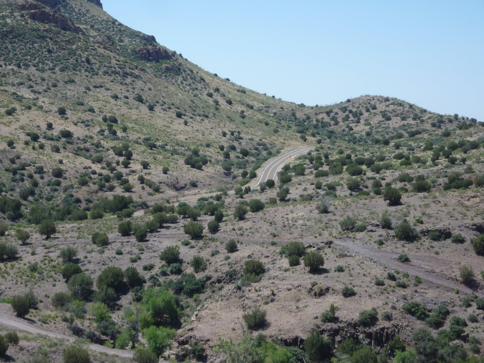
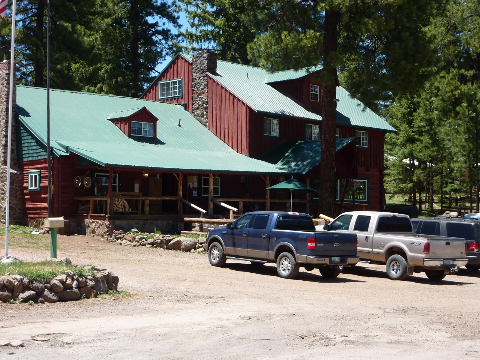
The Coronado Trail in this area is a 100 mile stretch of "lonely" road. There is virtually NO traffic up here. We encountered one other biker, and 3 cars, in the entire 100 mile stretch. When we finally neared the end of the trail, we came upon this little place, the Hannagan Meadow Lodge. We took a break here, and since they had a small restaurant, we enjoyed lunch here as well.
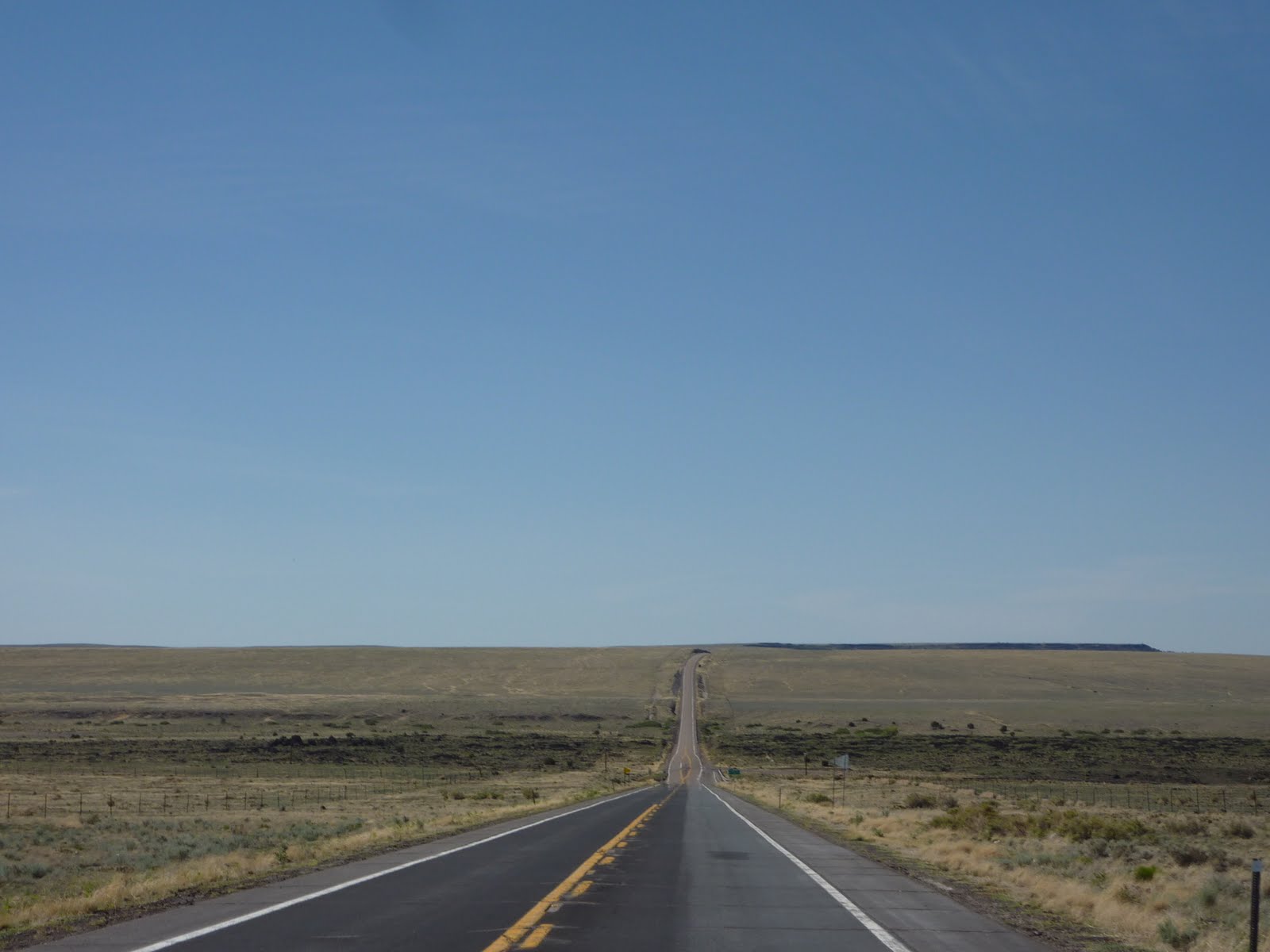
Once off the Coronado Trail, it was back to these sights... Nothing but road for as far as the eye can see.
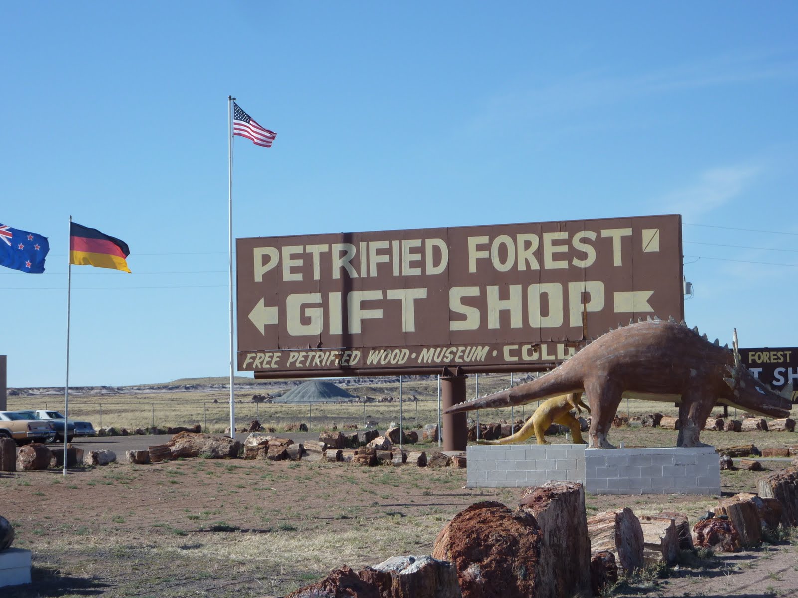
We arrived at the Petrified Forest National Park around 5:00 PM. We had to make a quick stop at the junk store, I mean the gift shop, to keep Lennie happy. We all know that when "mama" is happy, everyone is happy. Lennie was able to contain her desire to buy the $200 chunk of polished petrified wood, and settled for the $9 unpolished piece.
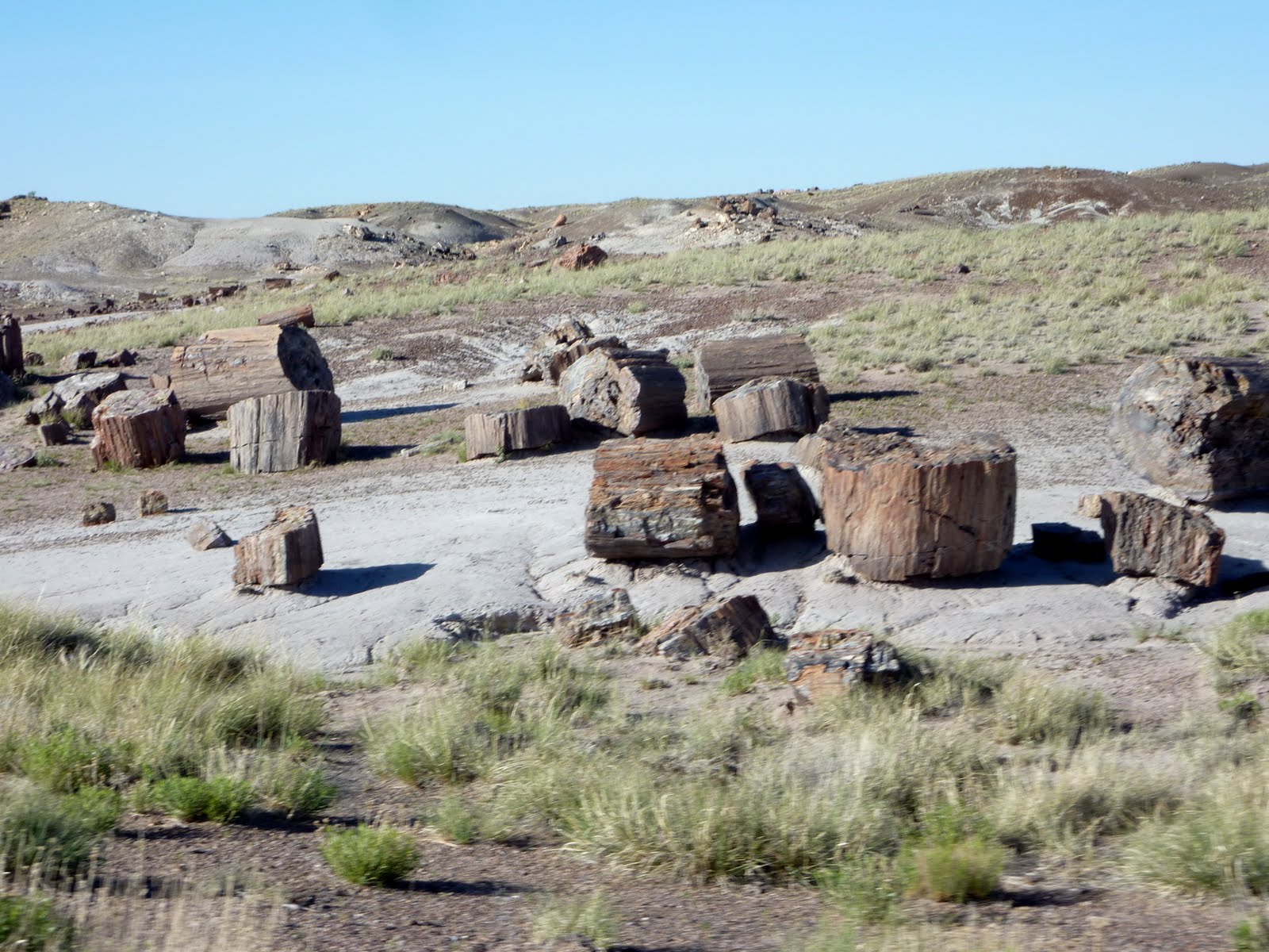
OK, Let's start by saying that the Petrified forest is not really a forest. In fact, it's just a few piles of petrified wood lying about here and there on the ground. The park is huge, and the petrified wood is sparse. I was not impressed. But, it was on our route, so you are almost required to wander in.
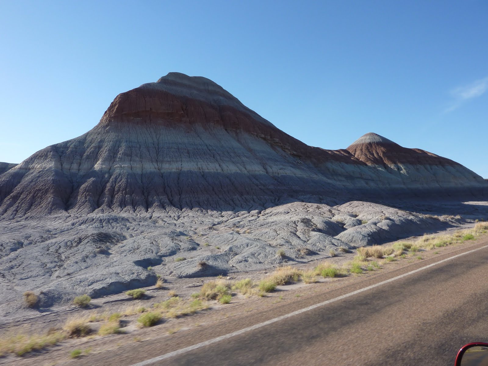
The best part of the park was the southern area, known as the "Painted Desert". The picture below was from an area called the Tepee area.
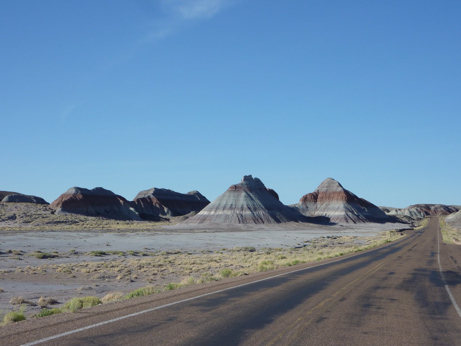
A closer shot of the Tepee area formations.
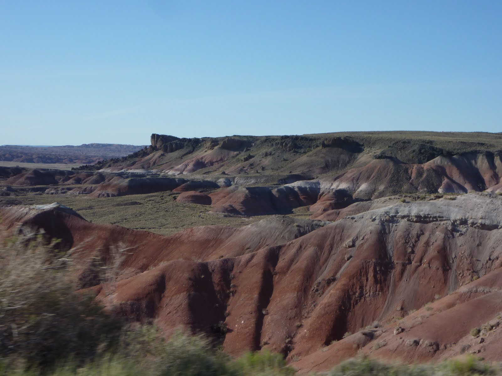
More of the Painted Desert area.
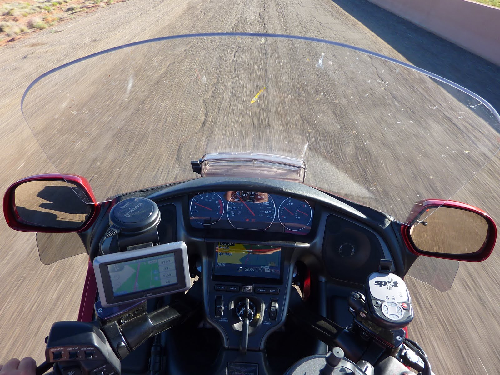
Here is a photo of the goldwing cockpit. You can see our GPS on the left handlebar, and our SPOT satellite tracker on the right. If you click and enlarge the photo, you might be able to see that the Honda speedometer reads about 4 mph higher than the actual GPS speed. I still fail to understand how Honda can make the world's best long distance touring bike (bar none), but the engineers at Honda can't seem to make an accurate speedometer. In addition, since the speedo is off, the mileage is off, and always reads higher than the actual GPS mileage traveled. Goldwing owners joke about this, and call them "Honda Miles". It's a good thing the warranty is based upon time only, and not mileage like an automobile. By the way, all of my trip miles are tracked and calculated using the GPS, not the Honda odometer.
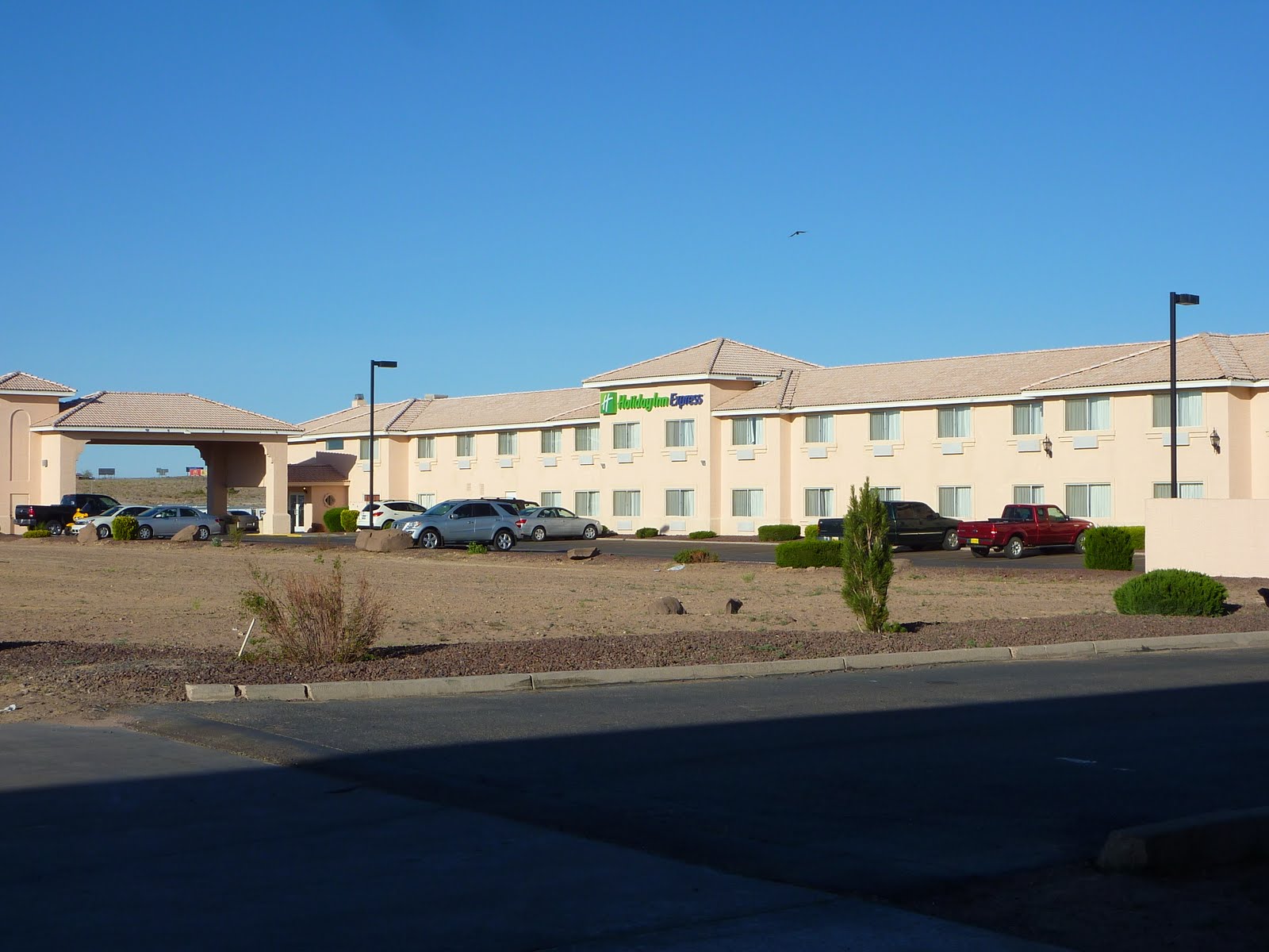
After a long day, here is our home for the night in Holbrook, AZ. Tomorrow we head toward the Grand Canyon's southern rim.
Below is a profile of the terrain we covered today. You can see some of the steep grade changes throughout the ride. I think we topped out at about 9300 feet, and crossed the Continental Divide once.

Here is the route for the day. We covered about 332 miles, bringing our trip total to about 2518 miles.
Google Sites
Report abuse