Embedded Files
Where are Tom and Lennie Now? -Click Here For Our Current Location
Make sure you look below for my quiz question of the day.
We left Holbrook Arizona today and headed for the Grand Canyon South Rim area. About 30 miles west of Holbrook, is a little town situated on the old Route 66 called Winslow Arizona.
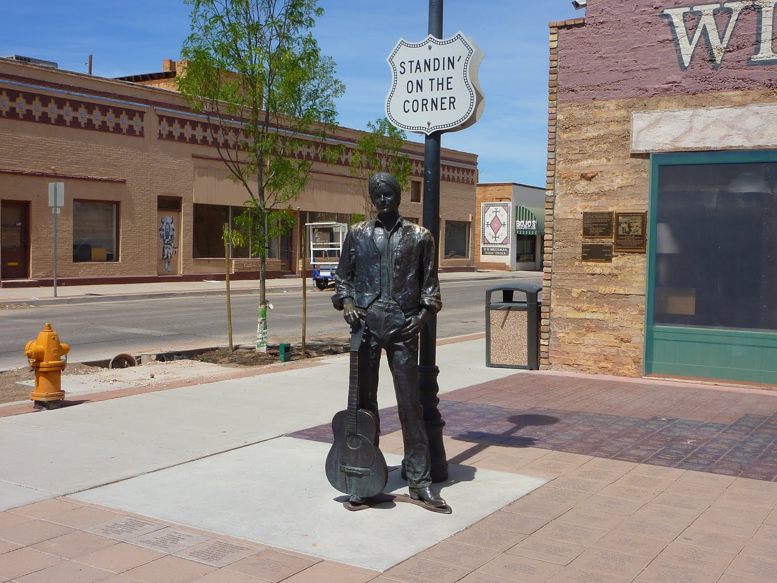
Below is a photo taken in downtown Winslow. Notice the Route 66 sign on the roadway? You may also notice a bronze statue "standing on the corner" across the street. This is a small park-like area that Winslow erected in 1999 in honor of the Eagles, and their hit song from the 70's that immortalized the town...
The song, "Take It Easy" was performed by the Eagles, and was their first hit in 1972. The song tells the tale of a disconsolate singer with woman troubles and includes the lines:
Well, I'm a standin' on a corner in Winslow, Arizona,
and such a fine sight to see
It's a girl, my Lord, in a flatbed Ford,
slowin' down to take a look at me
The city of Winslow suffered a loss of commerce when Route 66 was supplanted by Interstate 40, but the popularity of the song led to renewed attention for Winslow.
Here is a sign over a gift shop located at the "Standing on the Corner" Park. The gift shop had music piped outside, and surprise, they seemed to only play Eagles tunes :)
Below is a dedication sign for the park area.
Below is a closer shot of the bronze statue, and the mural painted on the wall in the background. The mural includes an Eagle in one of the upper level windows, and a flat bed Ford with a girl slowing down to take a look at me.
Here is another shot of the statue.
Now, let's see how many of you are real Eagles fans, here is my quiz question. Who does the statue in the park represent? Is it Glenn Frey, or perhaps Don Henley? It sure does NOT look like Joe Walsh? Don't cheat and look up the answer on the internet :) Read our page tomorrow for the answer, you might be surprised.
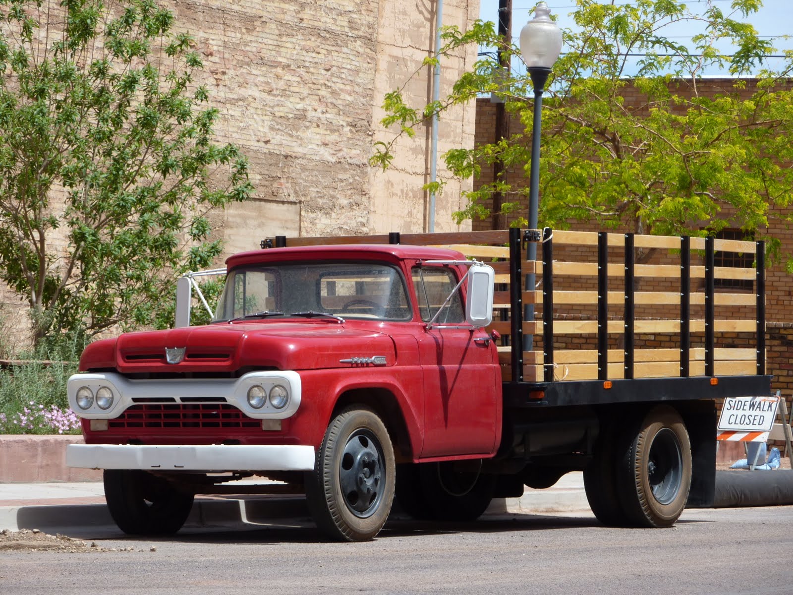
In addition to the one painted in the mural, they also had a real flatbed Ford parked here as well.
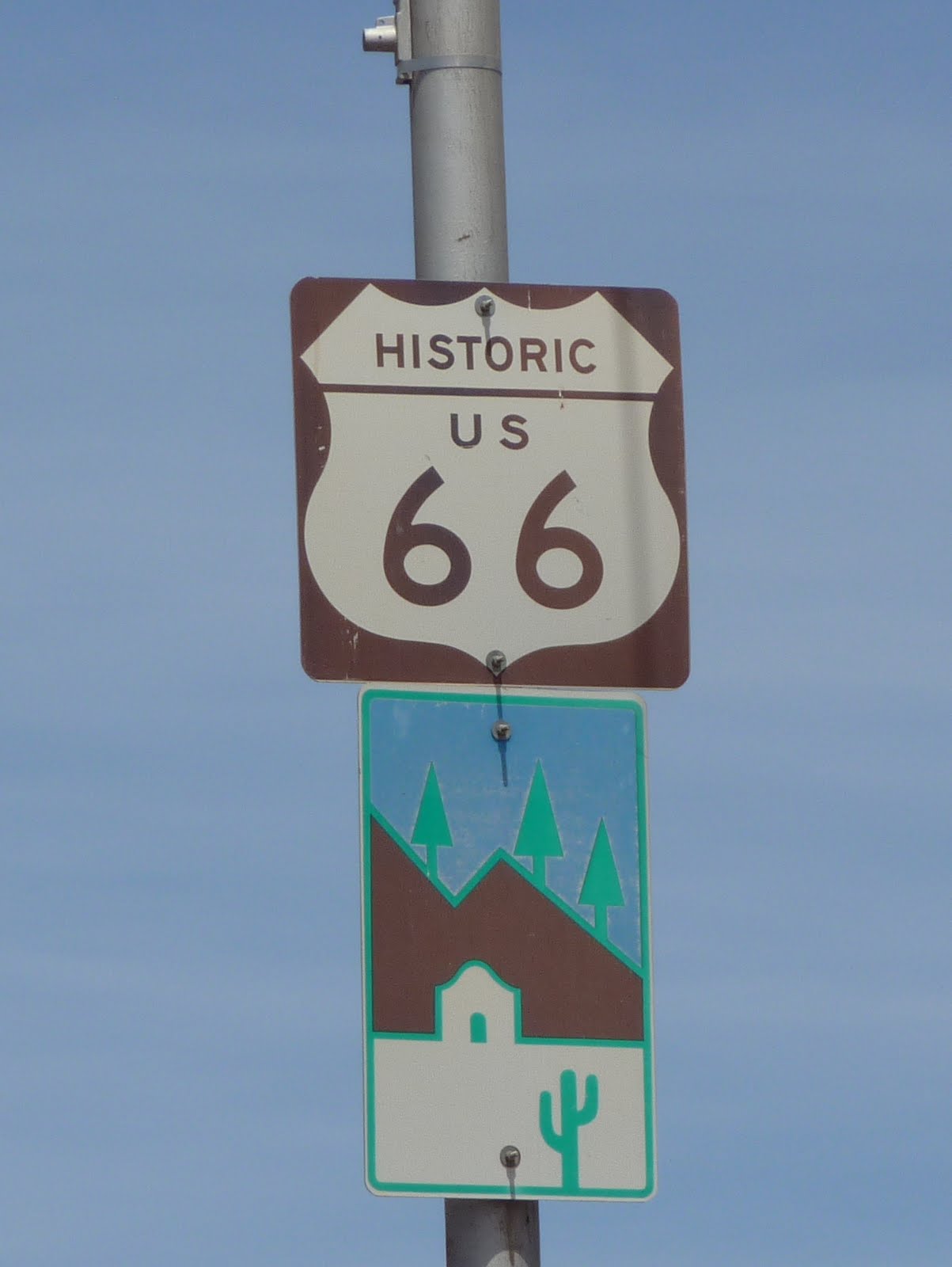
A photo of one of the many Route 66 signs in this area.
OK, enough of Winslow. We are now headed toward Flagstaff, and on to a couple of National Monuments before heading to the South Rim of the Grand Canyon. As with yesterday, we saw some lingering snow at the higher altitudes. It presented some nice photo opportunities.

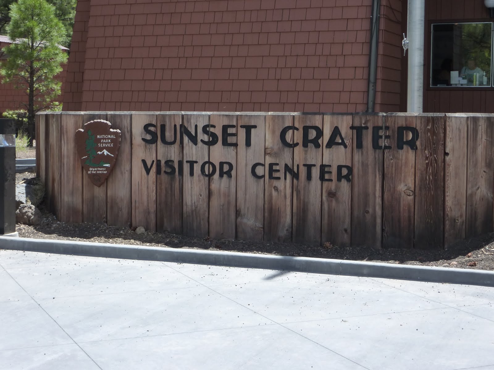
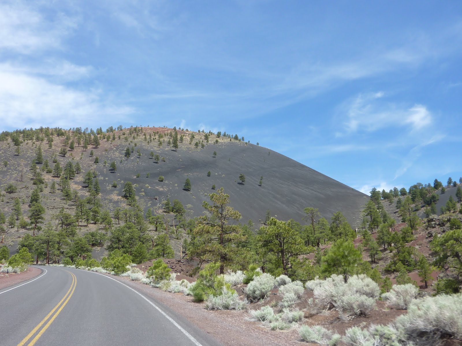
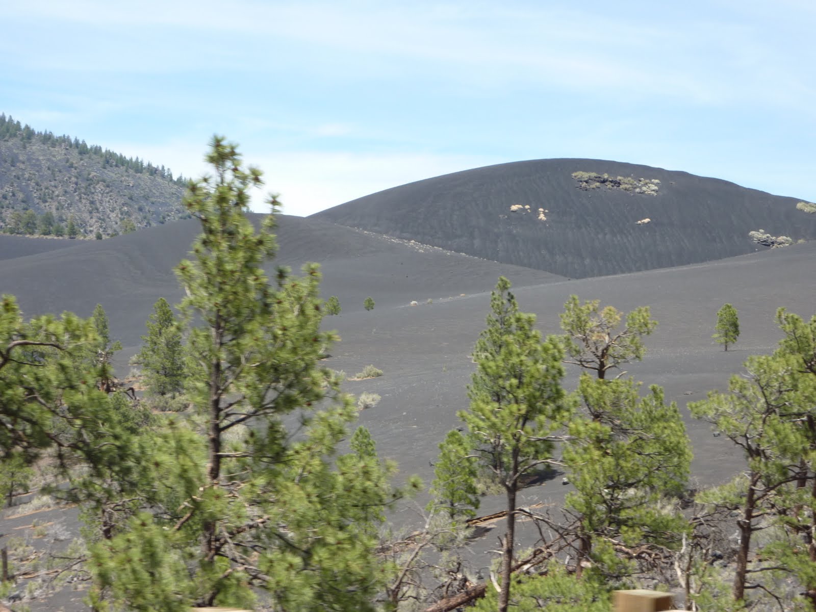
Our next stop was the Sunset Crater Volcano National Monument.
The eruptions forming the 1120 foot high cone are believed to have occurred sometime between 1080 and 1150 AD. The largest vent of the eruption, Sunset Crater itself, was the source of a lava flow that extended about 1.6 miles NW and 6 miles NE. The Sunset Crater eruption produced a blanket of ash covering an area of more than 810 square miles, and forced the abandonment of settlements of the Sinagua Indians. The volcano has partially re-vegetated, with pines and wildflowers.
Below is a look at one of the main lava flow areas.
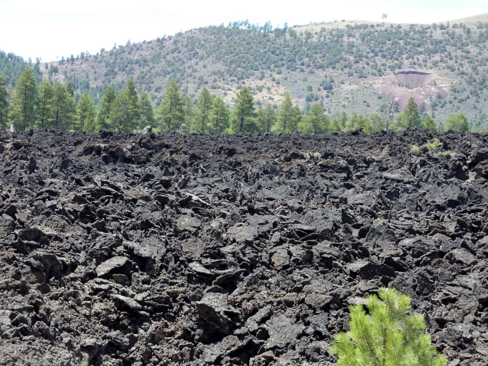
The next two pictures show the black ash like material that covers a large portion of the surrounding area.
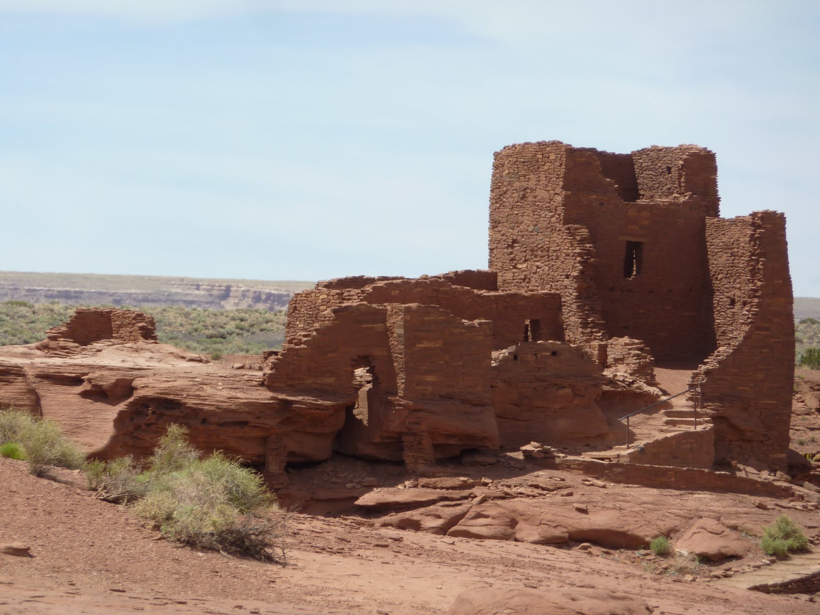
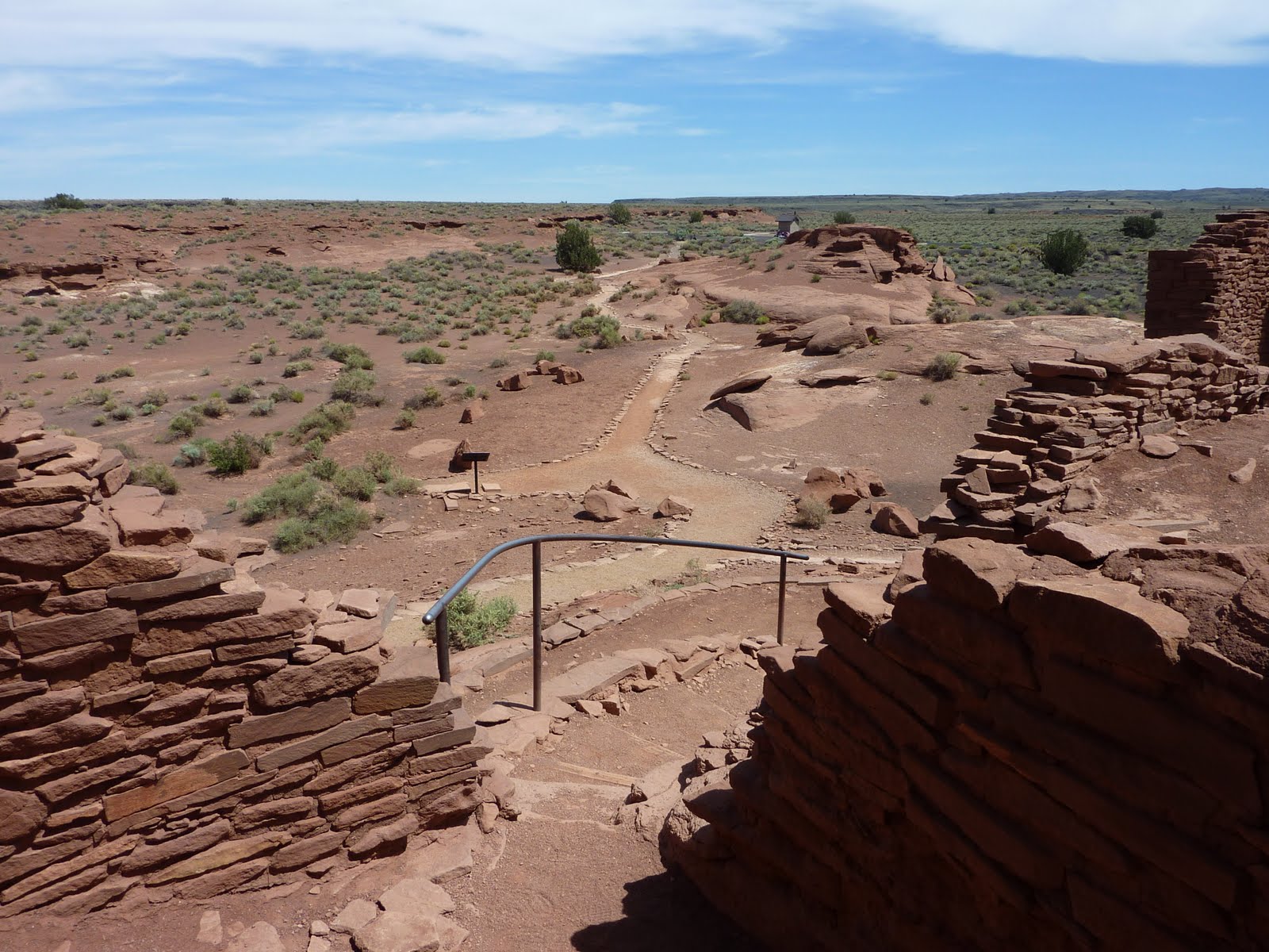
Within the same park area is the Wupatki National Monument.
The Wupatki National Monument contains many settlement sites scattered throughout the area which were built by the ancient Pueblo People, more specifically the Sinagua, Cohonina, and Kayenta Anasazi. A major population influx began soon after the eruption of Sunset Crater in the 11th century, which blanketed the area with volcanic ash. The ash improved agricultural productivity and the soil's ability to retain water. It is believed that an estimated 2000 immigrants moved into the area during the century following the eruption.
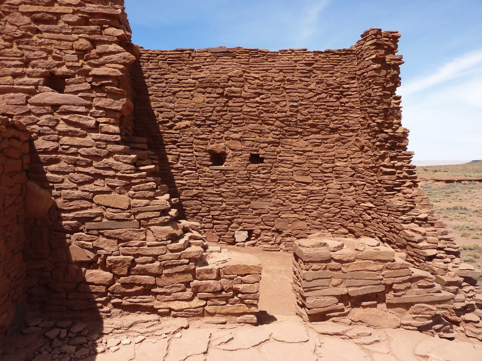
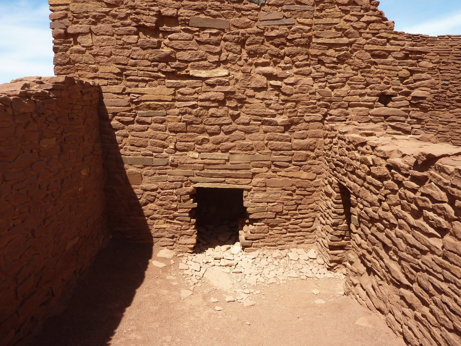
The dwellings, the walls of many of which still stand, were constructed from flat red stones held together with mortar. Each settlement was constructed as a single building, sometimes with scores of rooms.
Below is one of the dwellings known as Wukoki. It was inhabited about 800-900 years ago.
Here is a better shot of the wall construction. I'm not sure what the small holes were for?
You could crawl around through the structure, so I made my way through a number of small passages, which took you from one "room" to another.
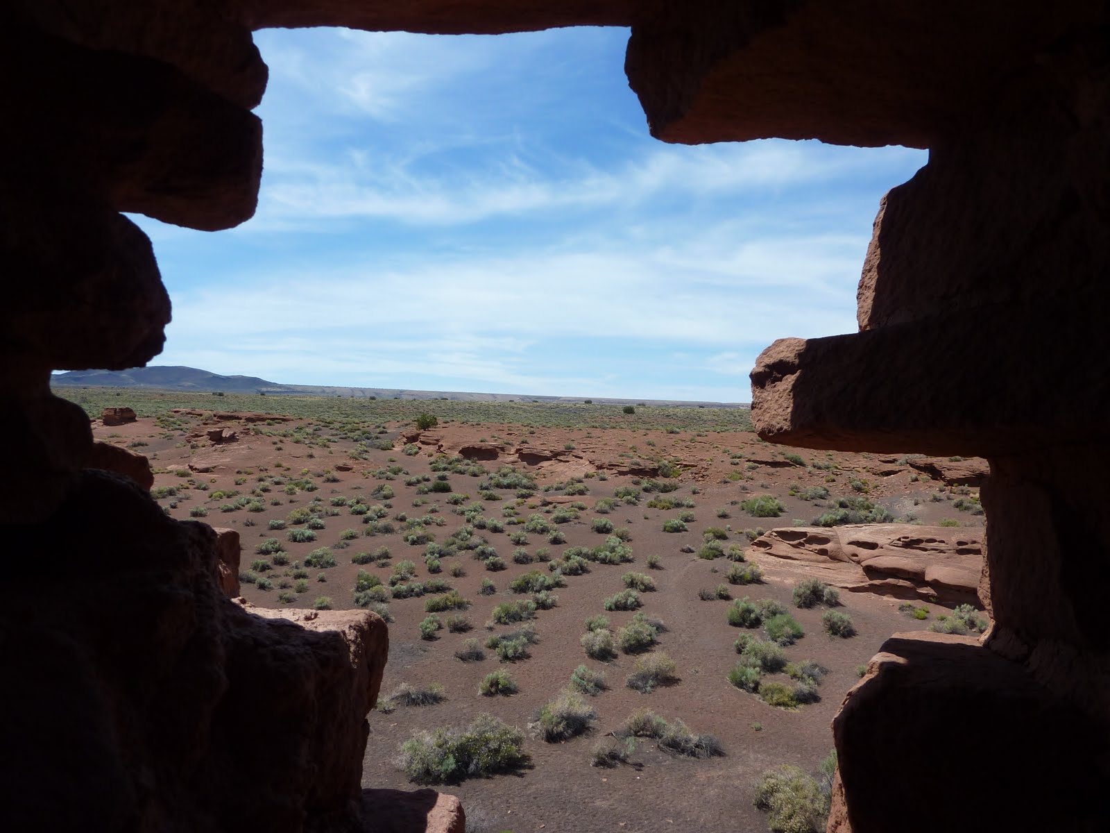
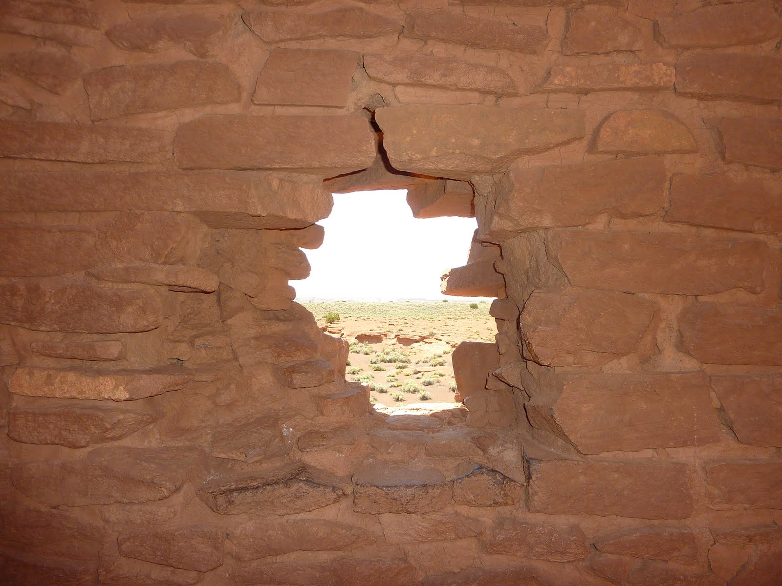
I thought this would make a cool photo. This was an irregular hole in the wall, perhaps a window? The shape was kind of unique, and made a nice frame for a picture of the surrounding area.
Here is the same shot with a flash to light up the wall itself.
This is a view of the trail back to the parking lot.
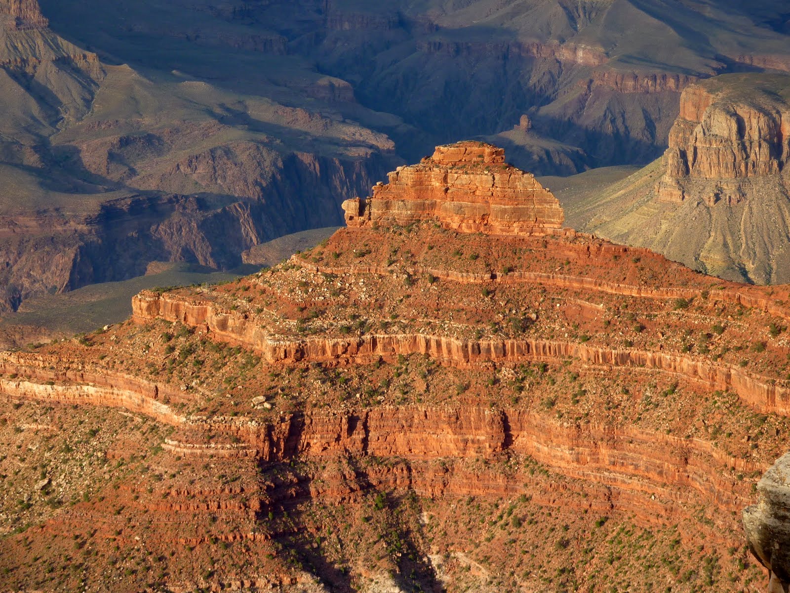
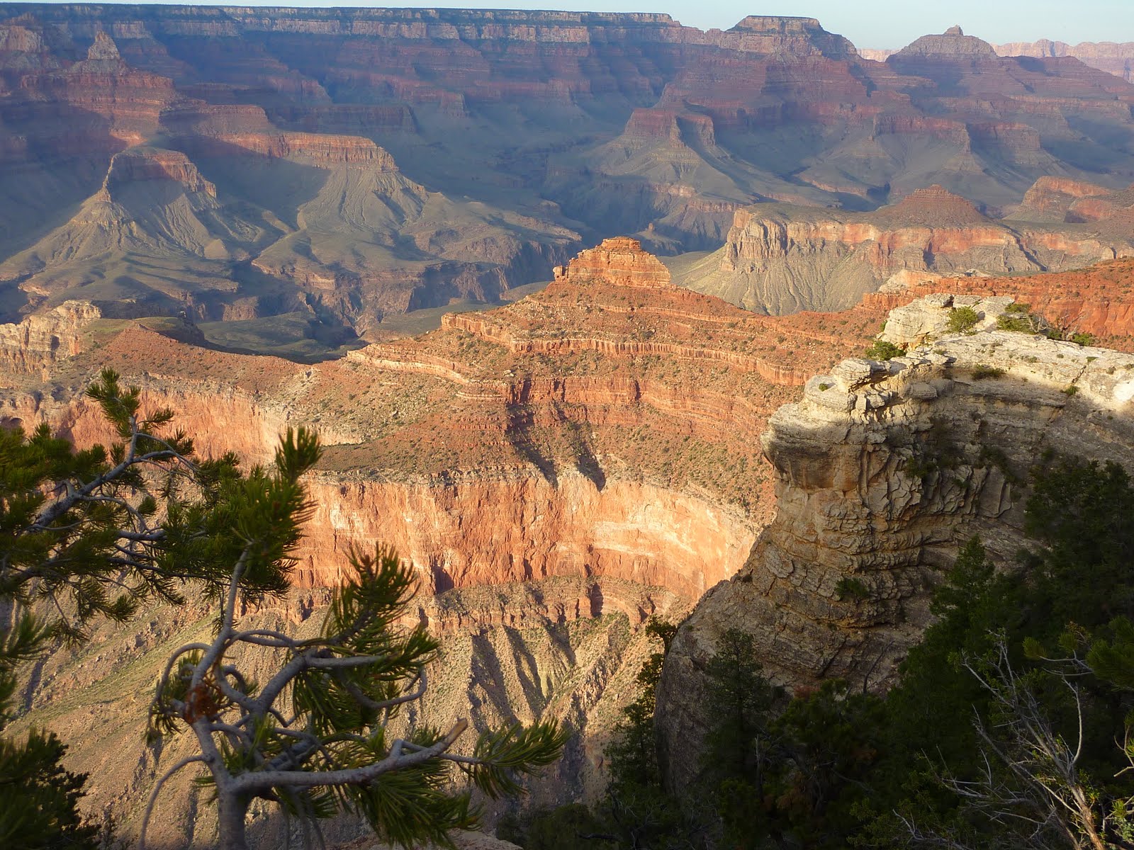
After leaving the Sunset Crater and Wupatki National Monuments, we headed to our hotel near the South Rim of the Grand Canyon. We arrived earlier than we had anticipated, so we made a quick run up the road to the Grand Canyon visitor center, and took a few photos from the nearby overlook area. We plan to spend the entire day tomorrow trundling along the South Rim area.
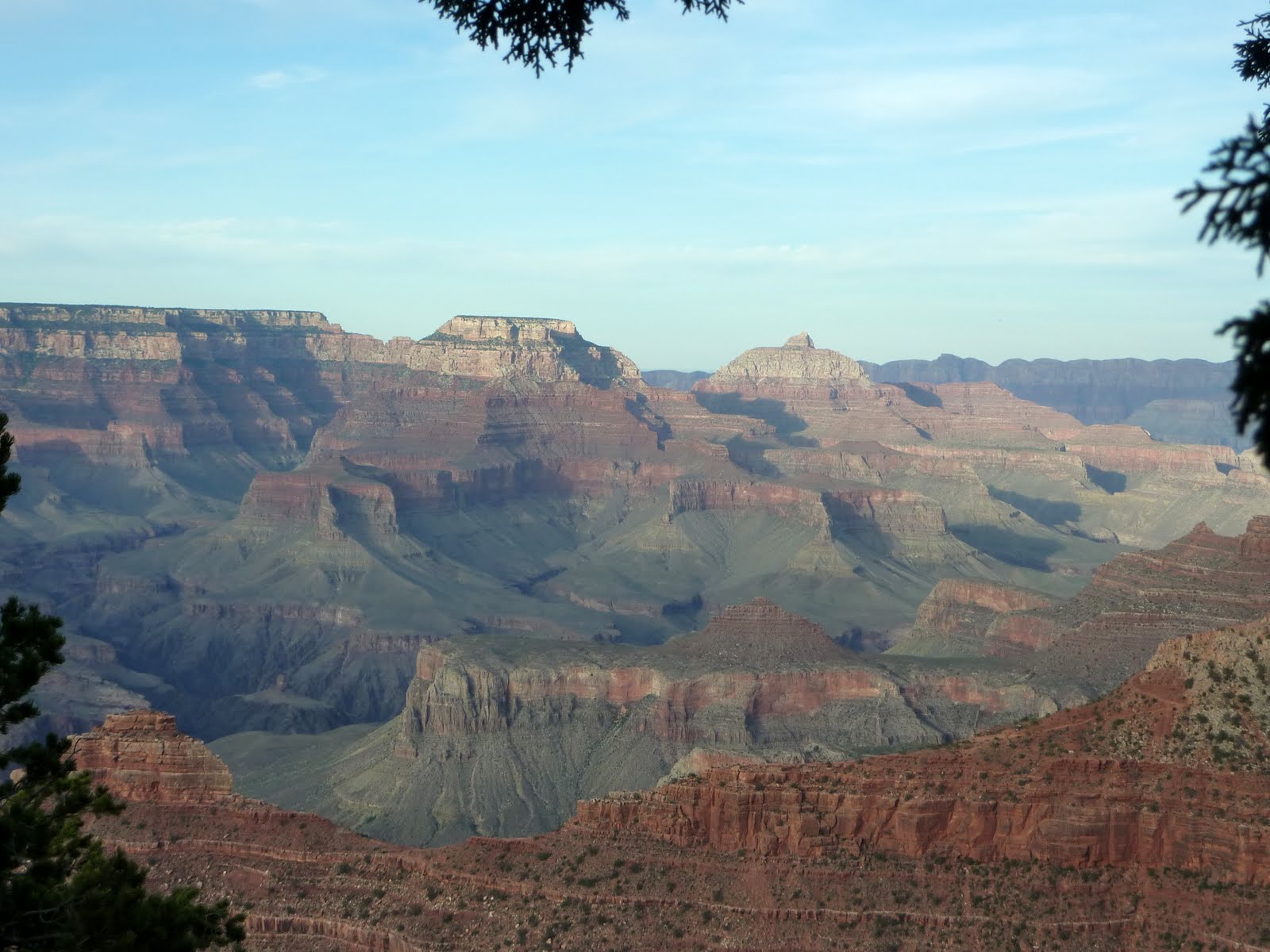
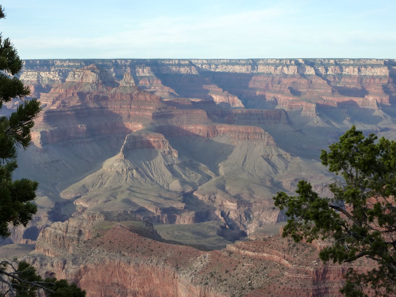
The sun was starting to set, and the angle really lit up some of the Canyon areas.
Below is our route information for the day. We covered 260 miles, bringing our total for the trip so far to 2778.
Google Sites
Report abuse