Embedded Files
Where are Tom and Lennie Now? -Click Here For Our Current Location
Click here for an overview of this trip.
Add your comments and feedback here!
We started the day at the hotel watching a series of thunderstorms crossing our planned travel path. After delaying our departure for about an hour, we headed off. The plan was to pass through Sioux City Iowa, travel through a small portion of Nebraska, and end the day in Iowa City Iowa.
The sights were as expected, CORN.

CORN !

Oh yeah, more CORN !

We had to stop for about two hours around lunch time as a very large and wide line of thunderstorms passed through the area. McDonald's free wifi, an iPad, and a couple of fruit smoothies kept us busy until the storms passed. I don't mind riding in the rain, as long as I can actually see :) This line of storms had those nasty red/pink/purple colors in the radar image.
We also ran into flooding of the Missouri River along the border between Nebraska and Iowa. Many of the bridges and exits that run between the two states in this area are closed.
Here is a shot along the side of route 29.
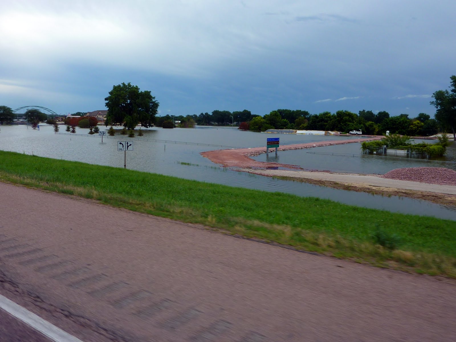
This was a freeway exit. You can see the ramp in the middle left of the photo. The ramp essentially winds down into a lake !

Another shot of the exit as we pass by.
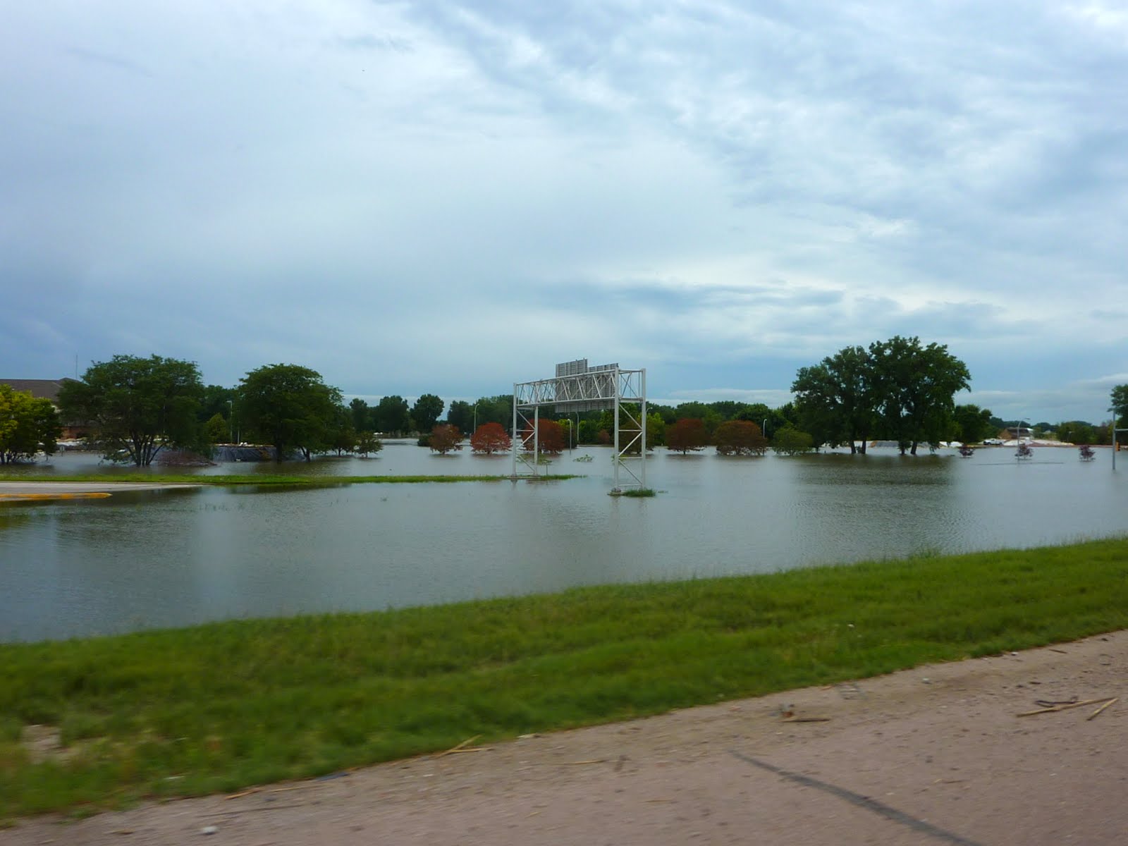
This was also along rt 29. Looks like the local YMCA property is covered in water.

We did find one bridge over the state border open, and crossed over into Nebraska. Got some fuel, ate lunch, then crossed back into Iowa. The next 2 shots are for you John :)


Tomorrow we will travel to Elkhart Indiana. It will be a short travel day, but we will likely be dodging storms most of they way according to the weather forecast.
Our stats for today indicate that we covered 402 miles, bringing our trip total to 6078 miles. Below is a map of our route from today.
Google Sites
Report abuse