Embedded Files
Where are Tom and Lennie Now? - Click here for our current location !
Add your comments and feedback here!
Day 4, and another day of cool morning temperatures! Our destination today is Grand Junction Colorado, where they are expecting a high of 89, so we have to enjoy the cool morning while we can.
Once on the road, Lennie took a shot over my head. This is what I get to look at for the 24 day trip.

We only had about 25 miles from our hotel to the Colorado border.

Then another 180 to Denver. The western portion of Colorado is much like Nebraska, flat and boring. You can see in the photo below, there is literally NOTHING for as far as you can see. Very few exits with gas or food as well.

We do run across folks towing all kinds of stuff on the roads. This guy is towing a fairly large popup camper with his bike. These things weigh in around 500-600 pounds once packed with your gear. They do open up into a pretty large tent camper, some of them even sport King size beds!!

Then there was this fellow. His poor GMC Sierra is really struggling. Take a look at those poor tires, and those poor rear springs! If it were dark, his headlights would be lighting up the night sky instead of the road. If this guy ever had to make an emergency maneuver with that rig, he would likely kill himself or someone else on the road.
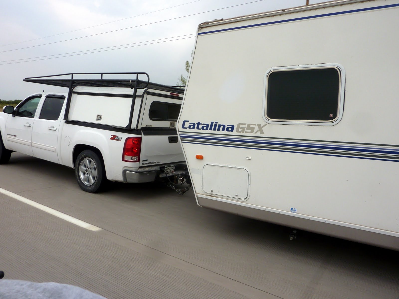
To steal a line from the movie Jaws, "We're gonna need a bigger truck" !!!

We finally make Denver, and now the scenery starts to change. The sky is overcast, as it has been threatening rain for most of the day, but you can still make out the foothills of the Rockies in the background.

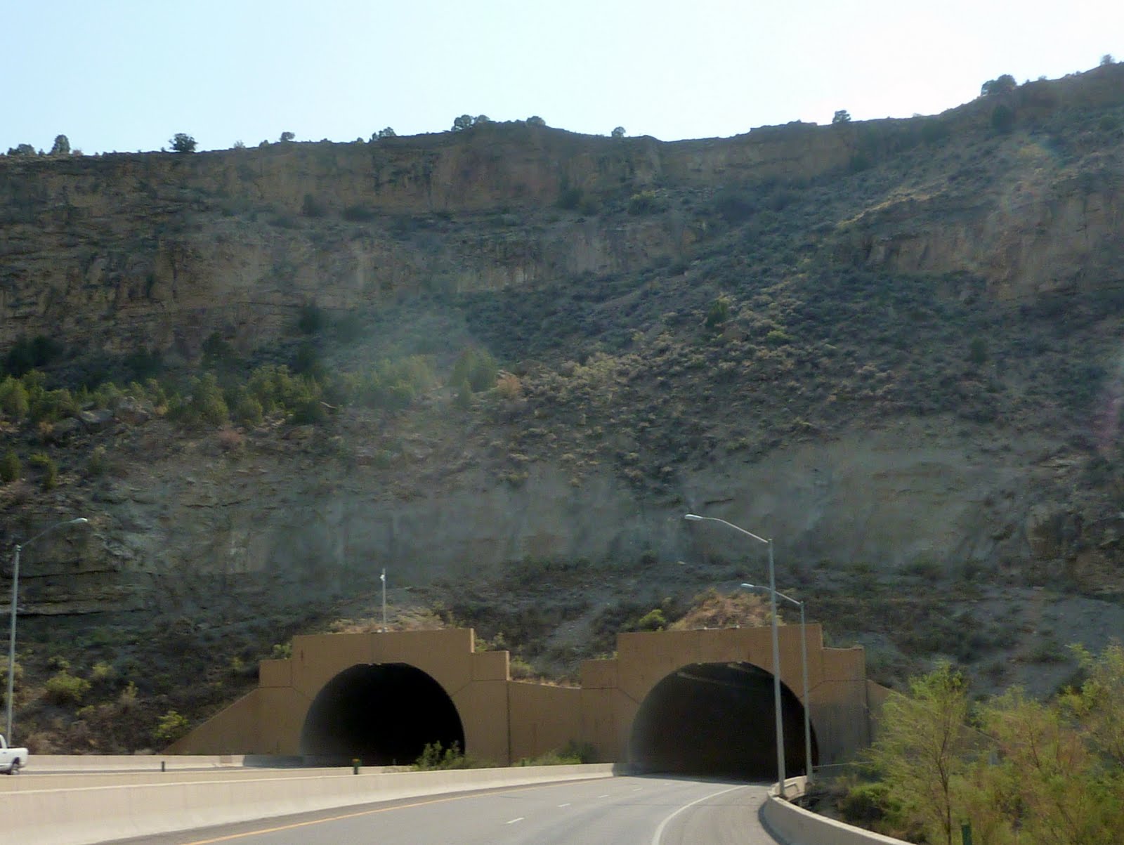
We stayed on interstate 70, which takes you through the Eisenhower Tunnel, across Vail Pass and through Glenwood Canyon. The Eisenhower Tunnel, with a maximum elevation of 11,158 feet and length of 1.7 miles, is the longest mountain tunnel and highest point along Interstate 70. Vail Pass peaks at 10,662 feet. The portion of interstate 70 through Glenwood Canyon was completed on October 14, 1992. This was one of the final pieces of Interstate 70 to open to traffic, and is one of the most expensive rural highways per mile built in the United States. The Colorado Department of Transportation earned the 1993 Outstanding Civil Engineering Achievement Award from the American Society of Civil Engineers for the completion of I-70 through Glenwood canyon.
At over 11,000 feet, the temperatures dropped to a balmy 49 degrees !! Below is a shot of the entrance to the Eisenhower Tunnel.

There are a number of other smaller tunnels along Interstate 70 through the Rockies as well.
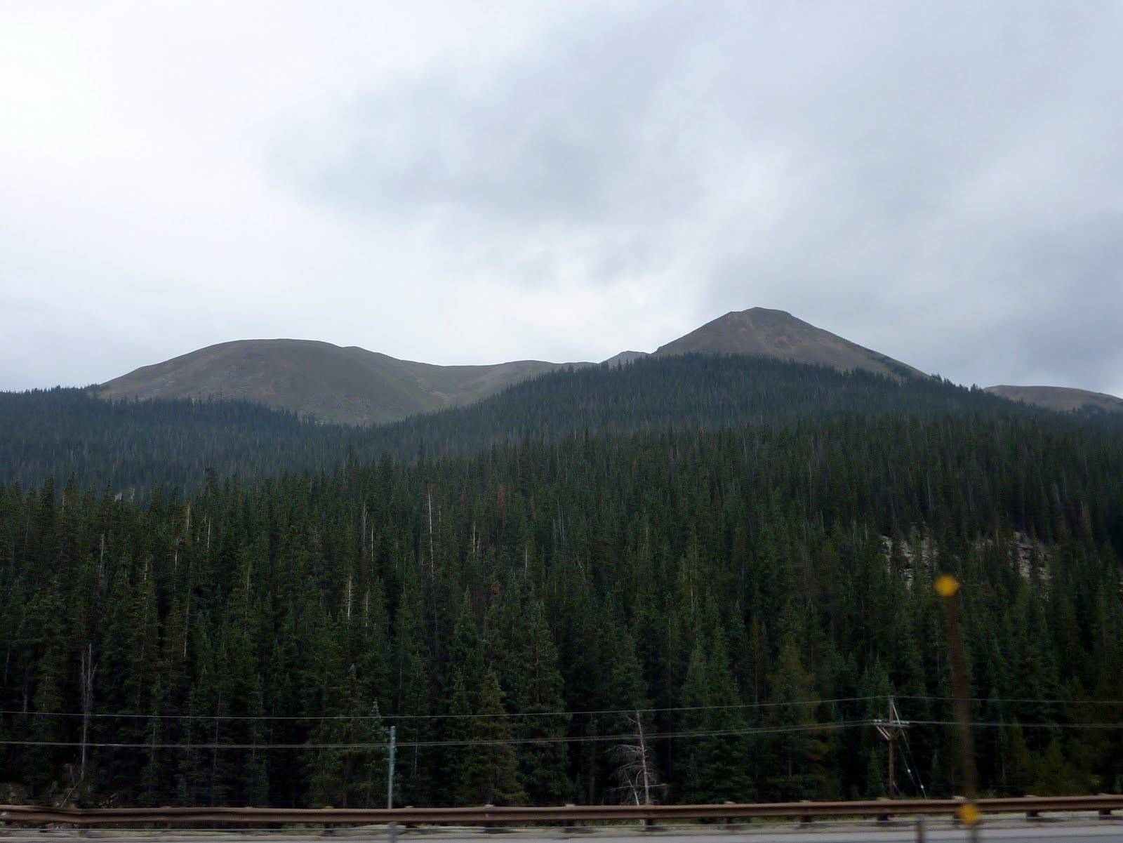
At this altitude, you are nearly above the tree line. You can see in the photo below, where the tree growth stops.
As expected, there are tons of ski areas in Colorado, with quite a few right along Interstate 70. Below is a shot of a portion of Vail.

After peaking out over 11, 000 feet, we started the long descent down to the western foothills of the Rockies. Lots of steep mountain curves, and emergency truck run outs on the way.

The scenery in the mountains is just spectacular. Much nicer (in my opinion) than the corn fields of the mid west.

The area through Glenwood Canyon is really scenic. This area had a two tiered roadway, with the Colorado River running along side. You can also see a set of train rails along the opposite side of the Colorado. Photos just can't capture the beauty of the canyon.

One more shot of the Glenwood canyon area, with the Colorado River running along side the roadway.

After making our way across the Colorado Rockies, we both needed a rest. We stopped at a really nice rest area, unfortunately the name of the rest area escapes me ????

Once on the western side of the Rockies, you start to see another change in the geography, as flat top mesas start popping up out of the ground in all directions.
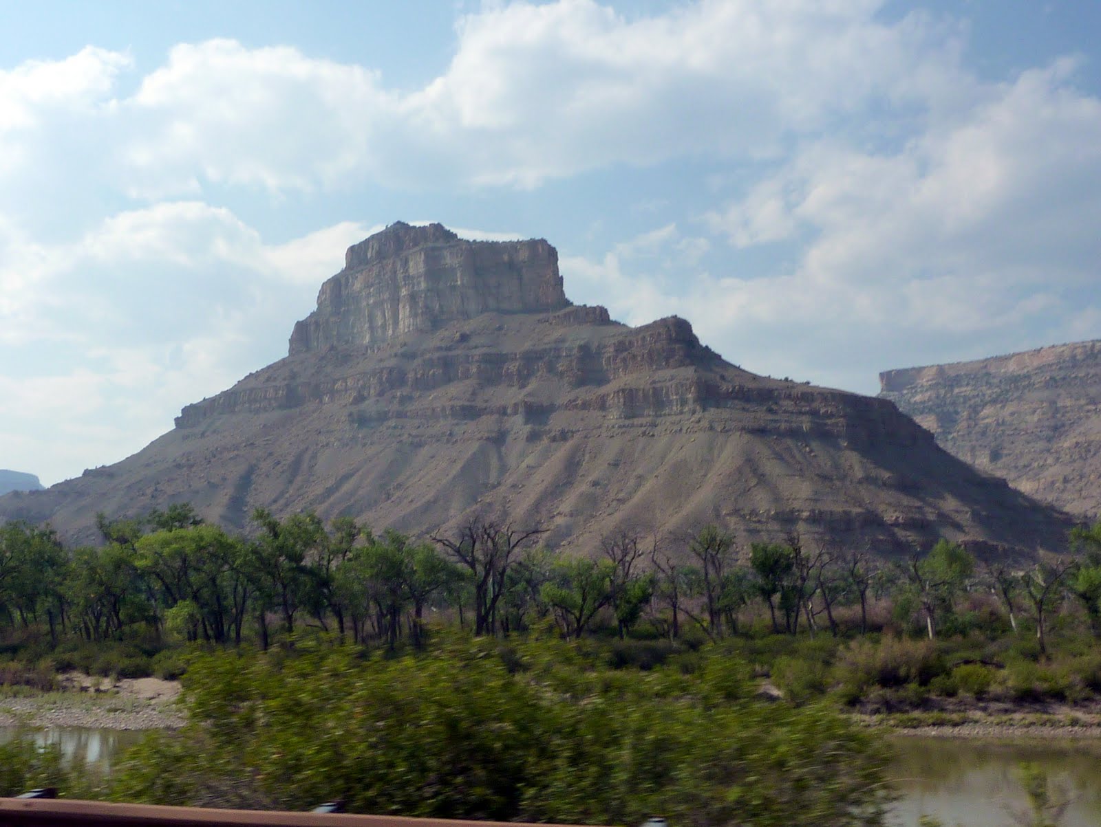
As we get closer to Grand Junction, the colors start to change from the dark brown colors in the Rockies to more whites and even some of the red clay colors you see so much of in Utah. I guess that makes sense, as we are only about 30 miles from the Utah border.

Here is the altitude chart from the gps for today's ride. You can see that we peaked at slightly over 11,000 feet near the Eisenhower Tunnel, and again at about 10,700 when crossing Vail Pass. Notice how sharply you climb when approaching the Rockies from the East !

Tomorrow we will complete the last 30 miles of Colorado, cross the entire state of Utah, nip the North West corner of Arizona, and at the end of the day, land in Las Vegas Nevada. The high is Vegas is supposed to be 102, so much for those cool morning rides!
We covered 468 miles today from Ogallala Nebraska to Grand Junction Colorado. This brings the trip total to 1678 miles. Below is a map of the route from today.
Google Sites
Report abuse