Embedded Files
Where are Tom and Lennie Now? -Click Here For Our Current Location
We woke up today to more high winds and heat. The winds are typically not an issue, but like yesterday, they were gusty, and they tend to catch you by surprise. Some of the stronger gusts tend to blow the bike around on the road, and you really have to pay attention.
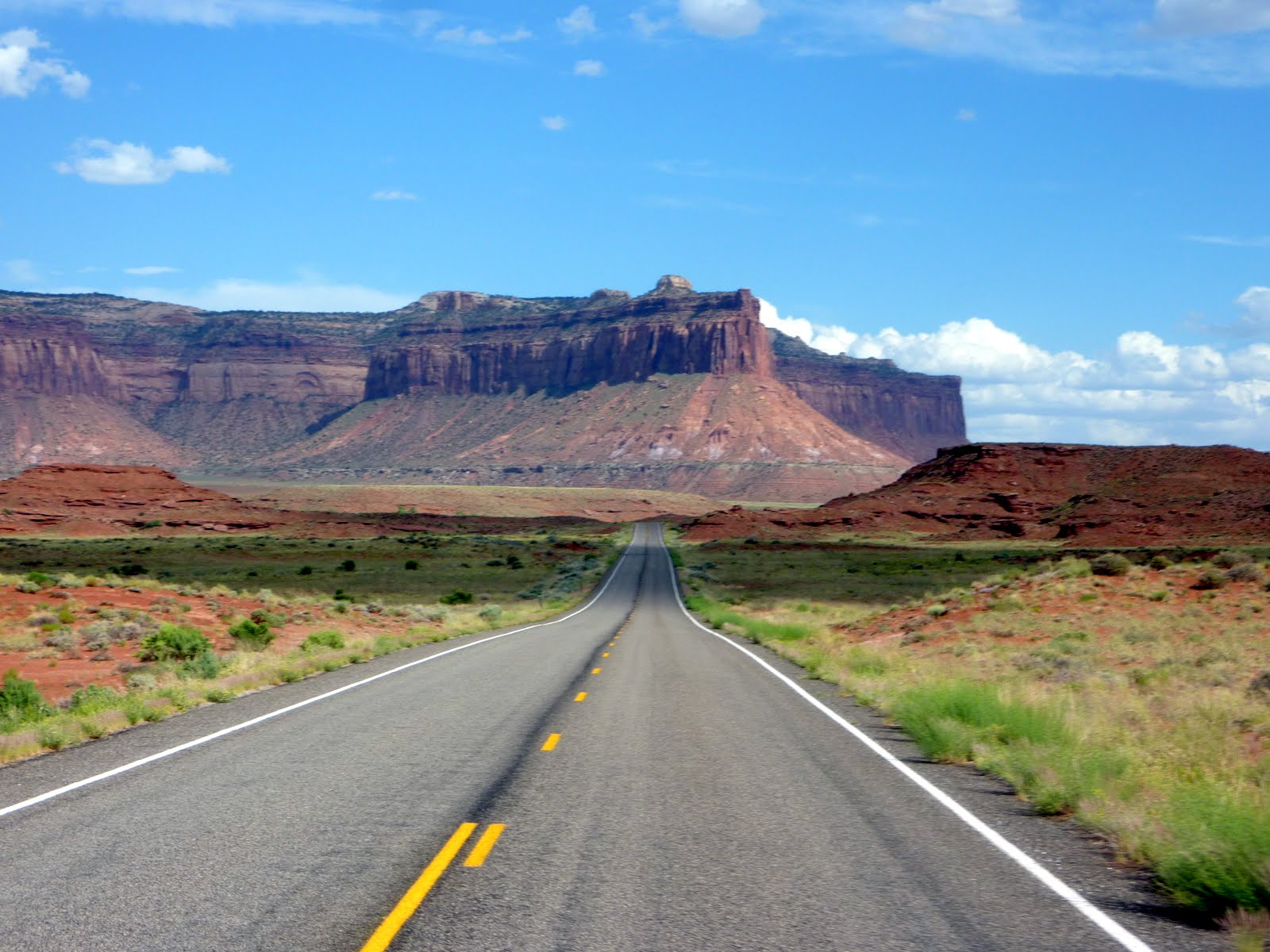
Our ride today took us from Torrey, Utah over to Moab, Utah.
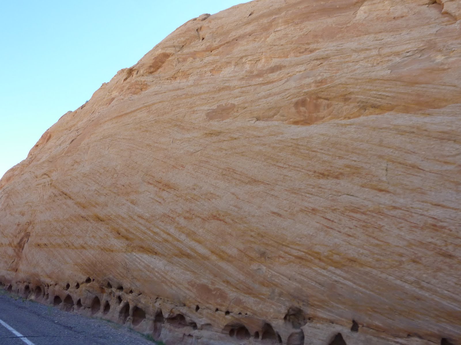
The roadway between Torrey and Hanksville, Utah included more of those "really old, and really white" rock formations. They are interesting because they are such a contrast to the red rocks in this area.
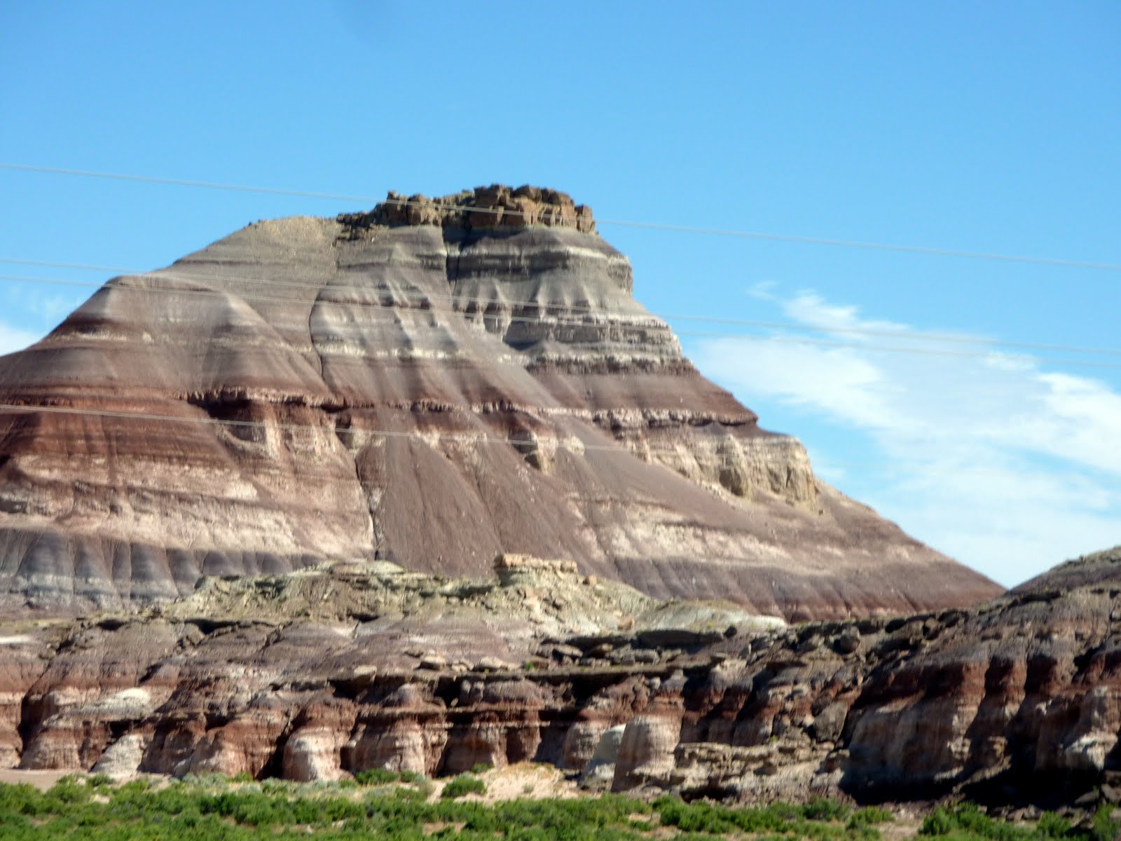
There are also some formations that include both the red and the white, and they are really eye catching.
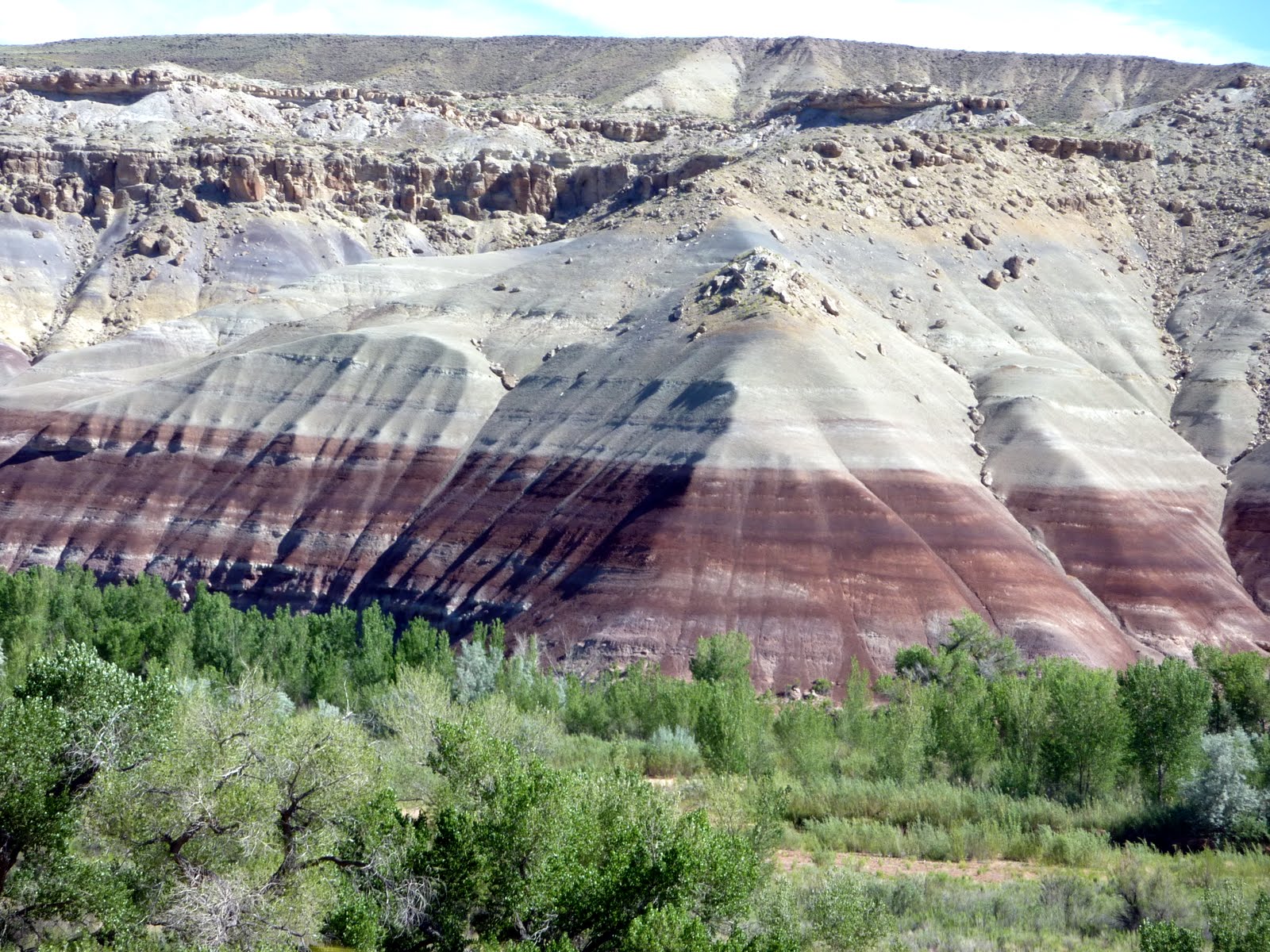
The massive size of these formations continues to amaze me.
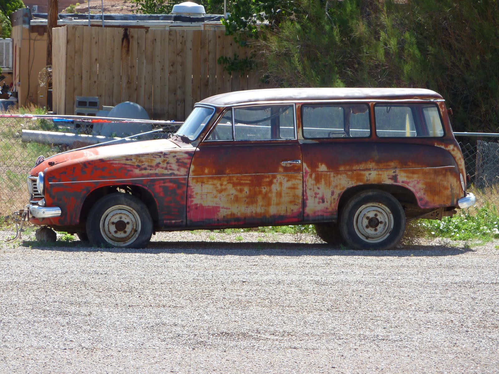
We stopped in Hanksville, Utah for some gas. Hanksville is tiny, matter of fact, gas was about the only thing in Hanksville. Parked next to the station was this gem !! It was so hot, that if the air conditioning worked, I would have aired up the front tire, and traded the owner the wing and trailer for this one. Waddya think, a little Maaco paint job ???
Back on the road, we headed down Utah State Route 95, which is also called the Bicentennial Highway. The highway also forms part of the Trail of the Ancients National Scenic Byway.
Route 95 eventually takes you over the eastern end of Lake Powell. If you remember earlier, we saw the Glen Canyon Dam at the western end, which holds back Lake Powell. So, we saw both ends of the lake, but did not get a chance to visit any of the central portion of the lake. Mind you, the lake is about 186 miles in length !
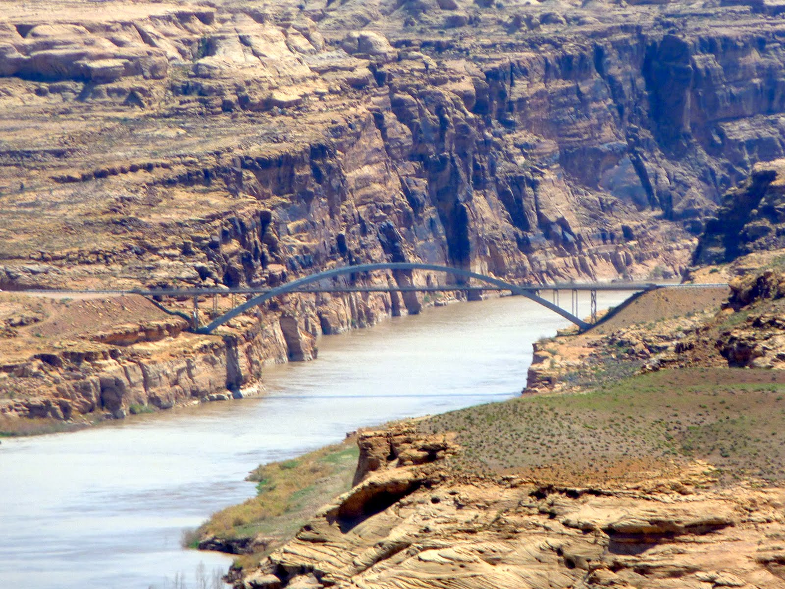
The bridge we crossed was kind of neat looking, it is called the Hite bridge, and is located by... you guessed it, the tiny community of Hite, Utah.
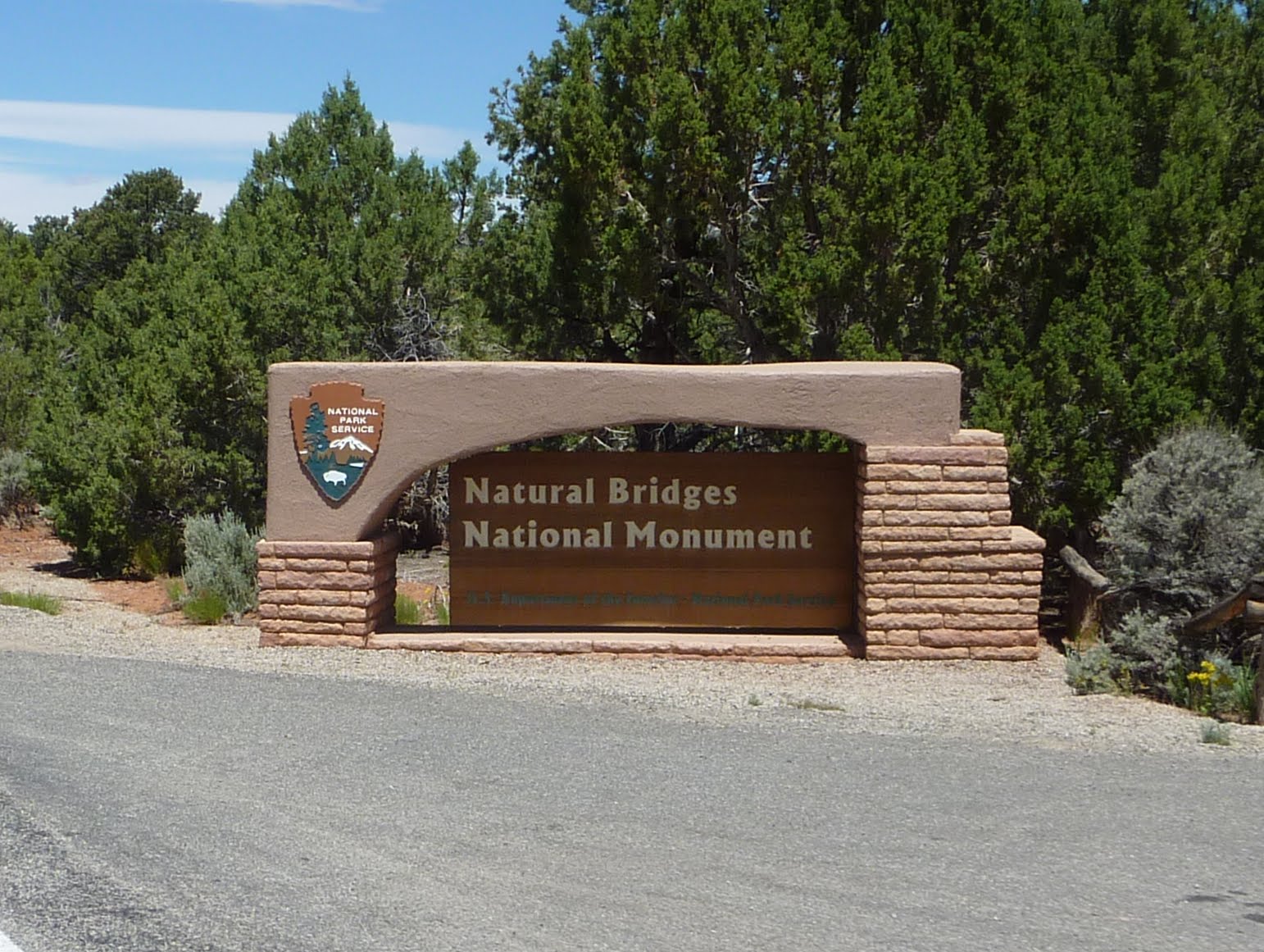
After Lake Powell, it was on to the Natural Bridges National Monument.
The park is Utah's oldest National Park Service area, and was designated as such by Theodore Roosevelt in 1908. The Monument was nearly inaccessible for many decades (a three-day horseback ride from Blanding, Utah, the nearest settlement), as reflected by the visitor log kept by the Monument's superintendents. The park received little visitation until after the Uranium boom of the 1950s, which resulted in the creation of new roads in the area, including modern day Highway 95, which was paved in 1976.
The park contains 3 of the world's 5 largest natural bridges. Another of the top 5 (in fact number 1 in size), the Rainbow Bridge stands within nearby Lake Powell, and is most easily reached by boat. I have no idea where the last of the top 5 bridges stands. Some may argue over the sizes... is the largest the one with the longest span, the tallest, the thickest bridge area? Whatever you may think, I am only stating what the park system claims :)
This is Sipapu, it is 220 feet tall, spans 268 feet, is 31 feet wide, and 53 feet thick. Pretty impressive.
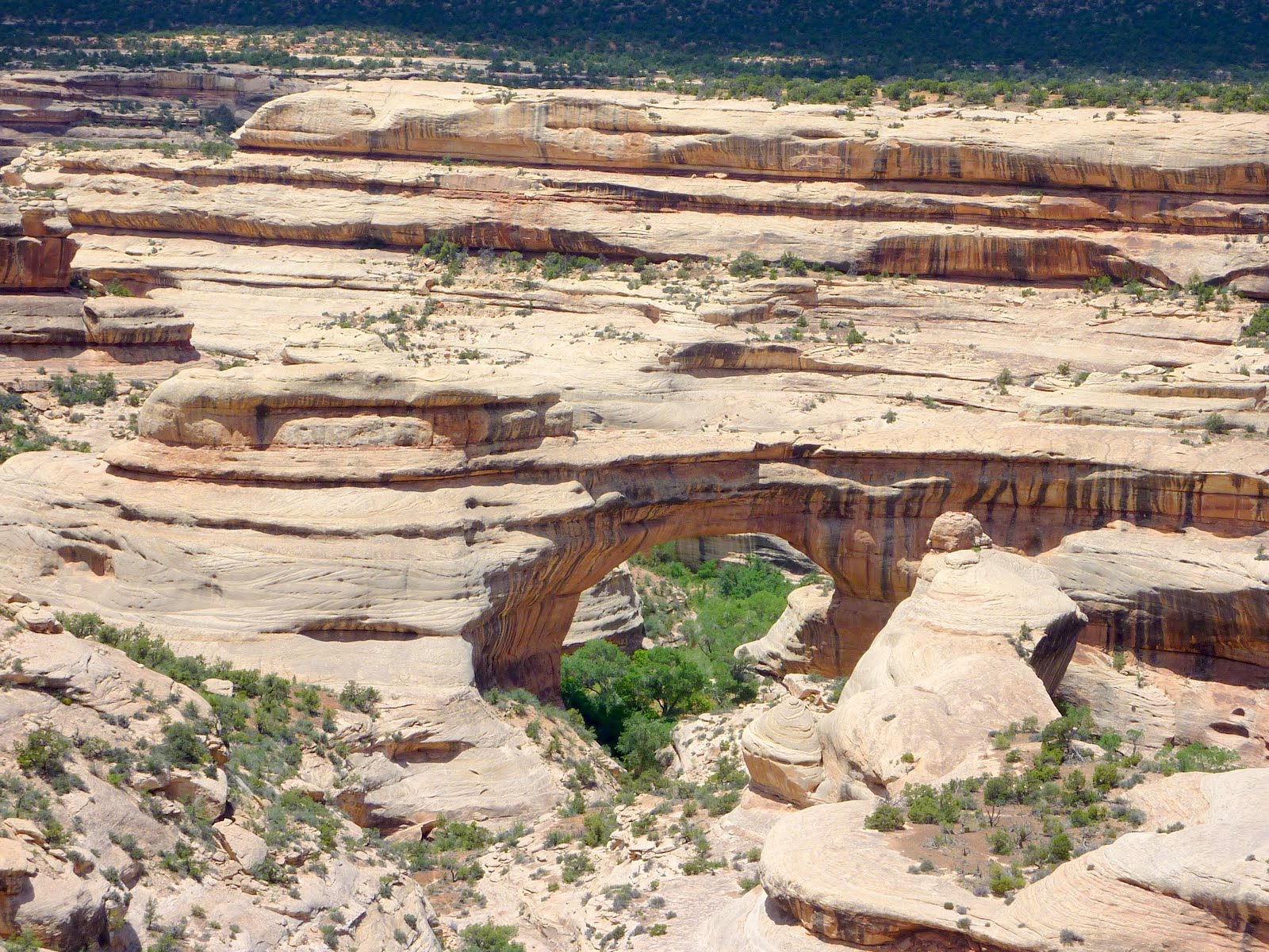
This is Kachina, it is 210 feet tall, spans 204 feet, is 44 feet wide, and 93 feet thick.
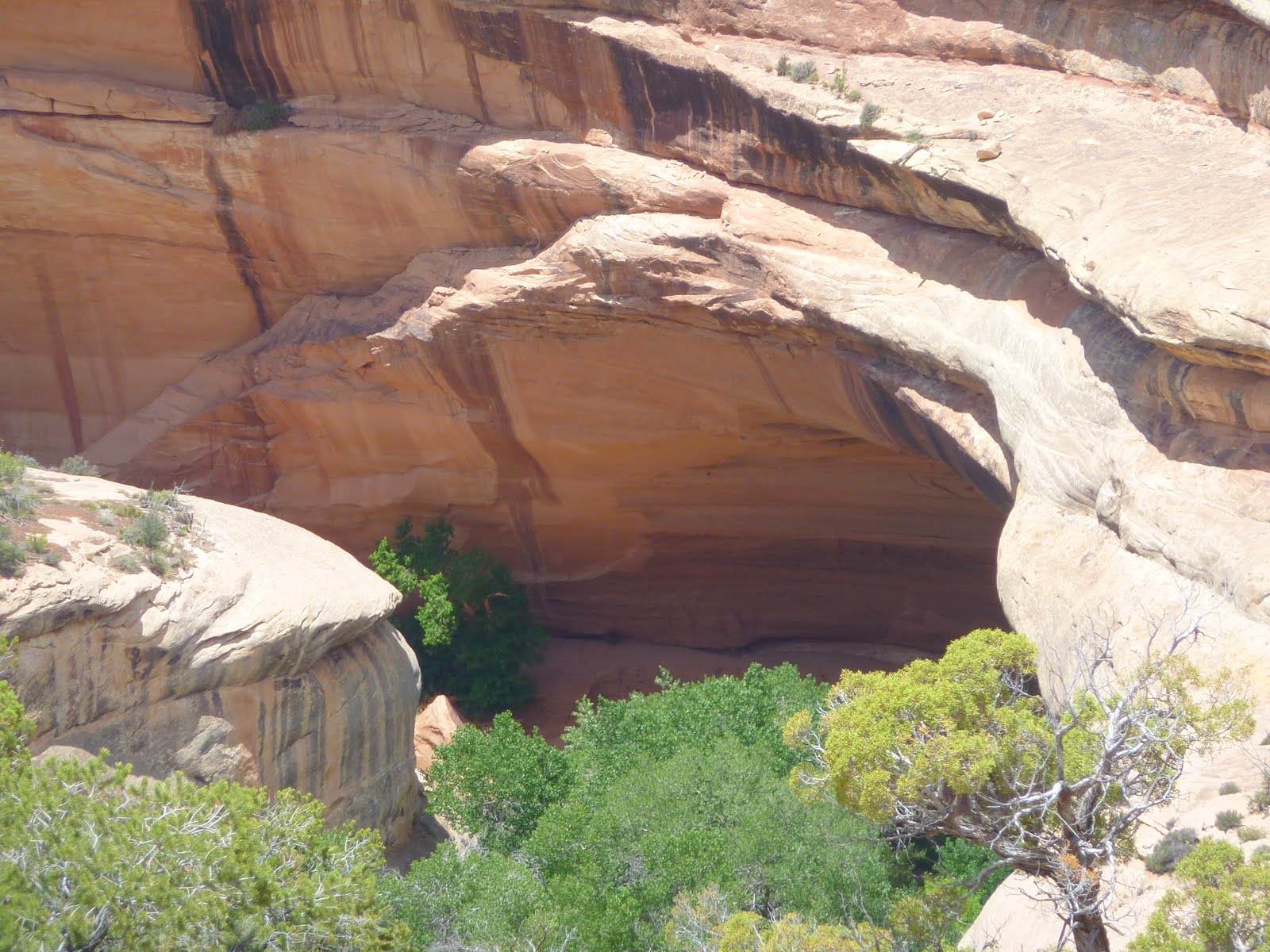
And finally, this is Owachomo, it is 106 feet tall, spans 180 feet, is 27 feet wide, and 9 feet thick.

Enough of the stone bridges, now we continue on toward Moab.
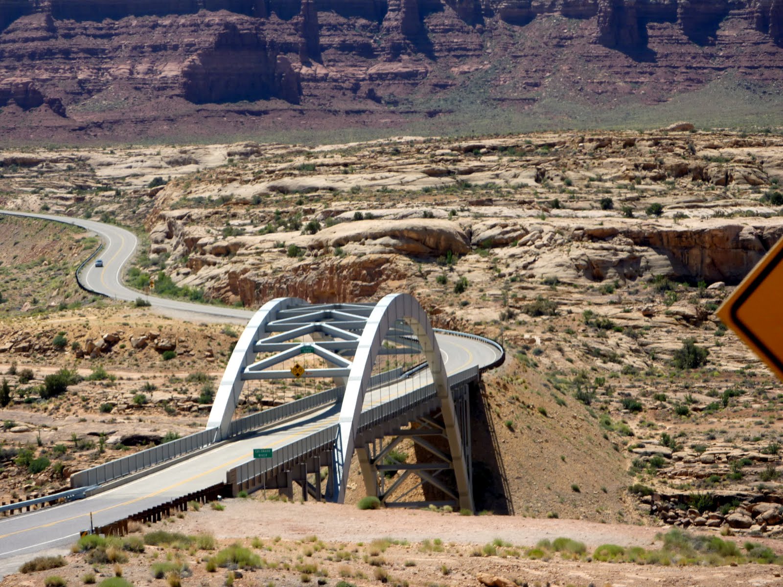
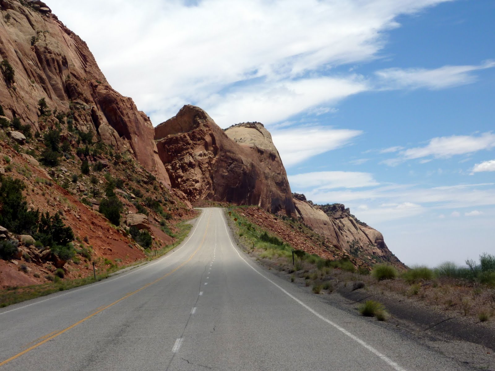
Here is another one of those roads to nowhere. You run up a fairly steep incline, then the road takes a left and pops across to the other side of the ridge. The camera sure tends to flatten out the incline.
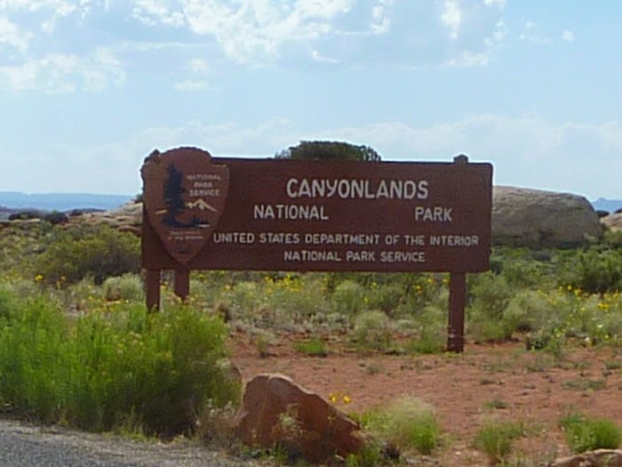
One more stop before Moab. Canyonlands National Park is pretty large, and we plan to see the northern areas of the park tomorrow, so we rather than back-tracking, we decided to see the southern area of the park today. This area of the park is known as the Needles District, and the only paved road into this area of the park is a 35 mile (one way) ride. So, it added 70 miles and 1.5 hours to the days ride.
The ride into the park passes a huge number of large buttes that pop up out of the earth. They are pretty impressive.
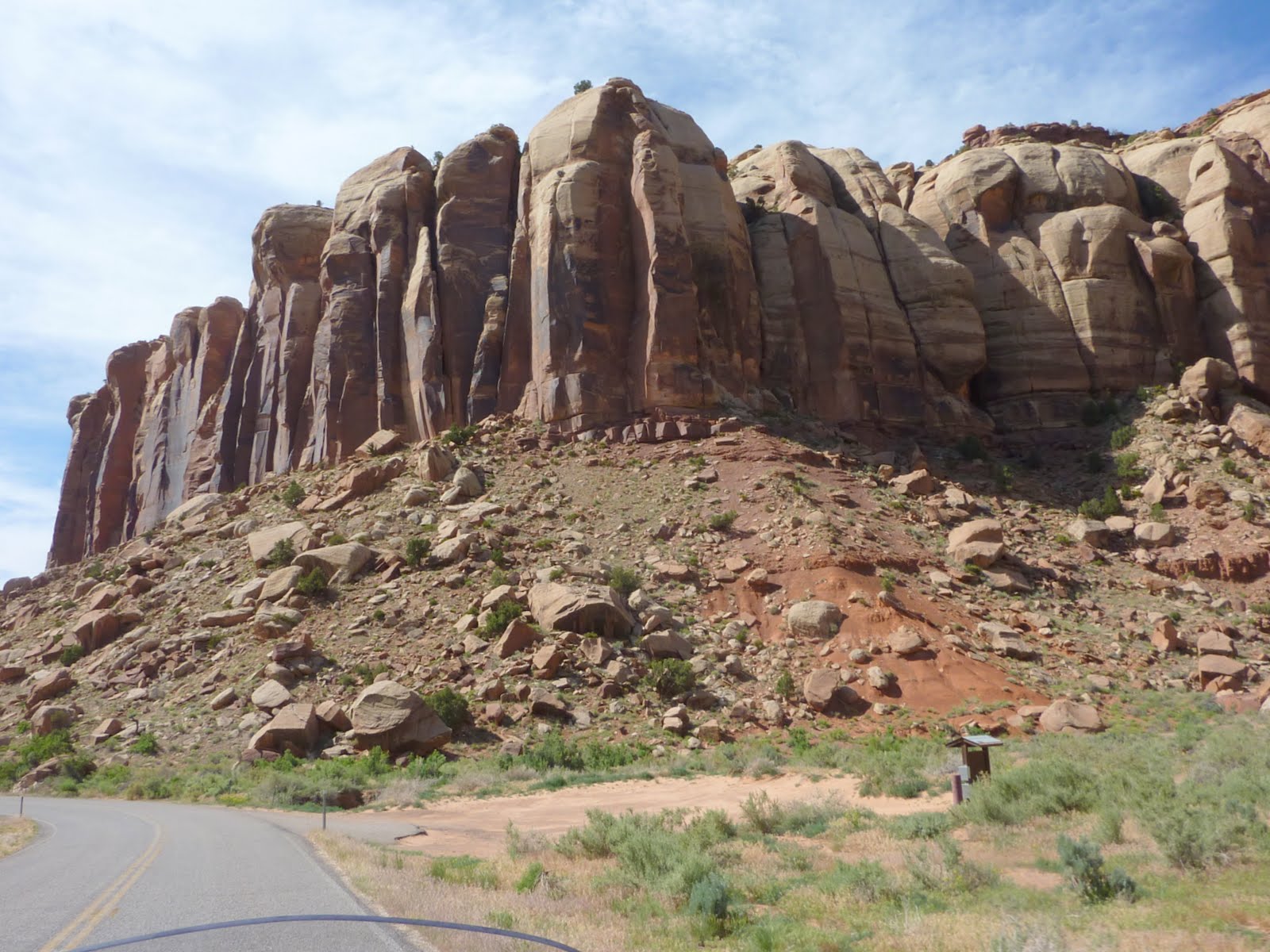
Another of the buttes in the southern area of the park. The colors here are pretty nice as well.
Once you get into the southern area of the park, there is not a whole lot to do on a motorcycle. This area is really known for the 4 wheeling challenges it offers. One of the 4 wheel trails, called Elephant Hill, is considered the most technical 4 wheel trail in all of Utah.
At this point in the day, I was tired, my butt hurt, we were still 80 miles from Moab, and all the rocks were starting to look the same... like rocks !
So for us on the motorcycle, I would say the 70 extra miles was not worth the trouble, but hey, we are on vacation, so suck it up, and let's head on to Moab.
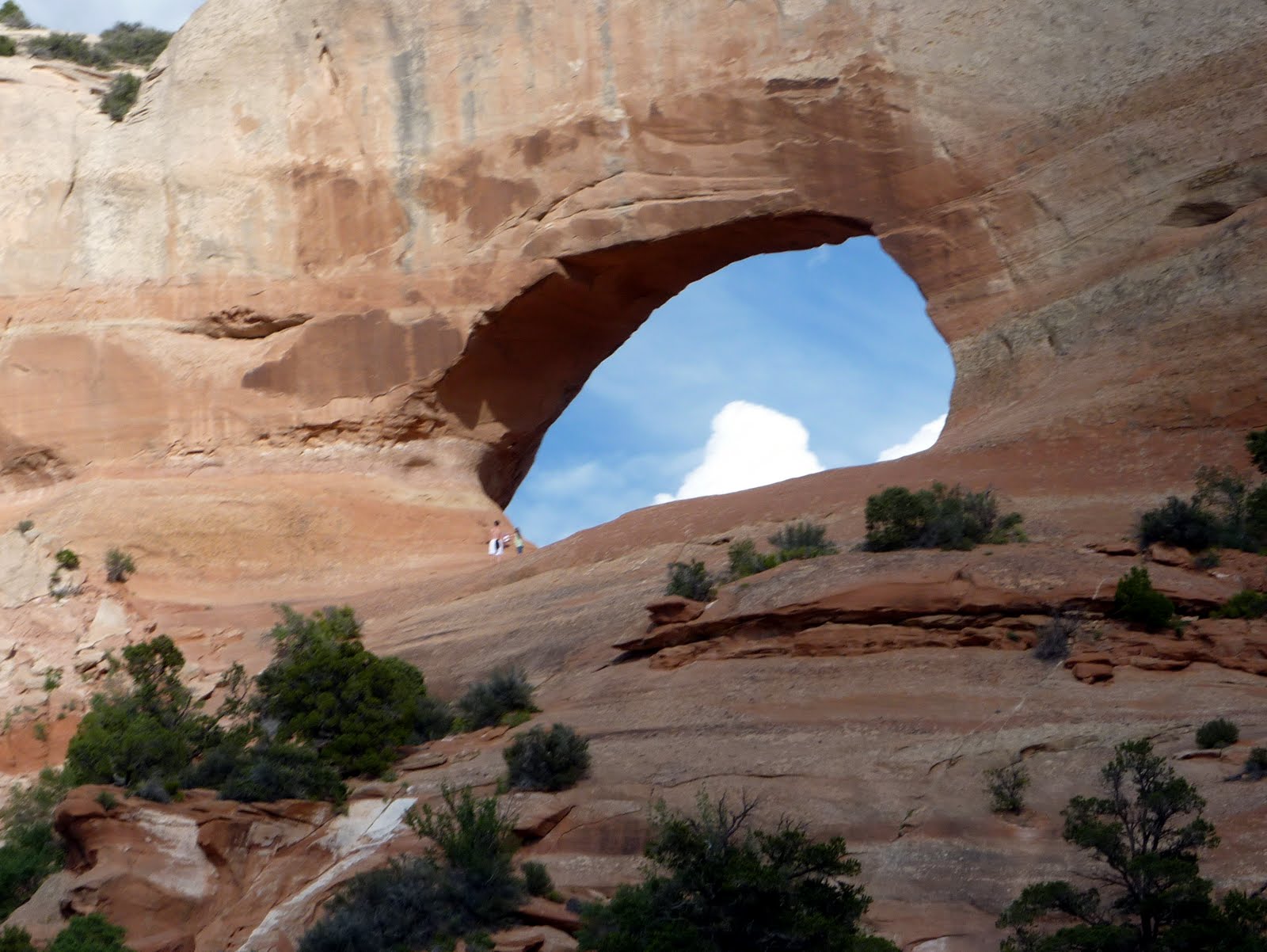
Back out of the park and on Rt 191 heading into Moab, we passed this little arch. It is called Wilson Arch, and is right along the roadway.
Below is our route from today, we covered 340 miles, bringing our trip total to 4051 miles.
Tomorrow we plan to see the northern portion of Canyonlands National Park, which includes the Islands in the Sky area. Then we will say goodbye to Utah for this trip, and head over to Montrose Colorado for the night.
Google Sites
Report abuse