Embedded Files
Where are Tom and Lennie Now? -Click Here For Our Current Location
Our plans for today were to spend a little time in Roswell before heading out on the road. However, after we woke up this morning and did a little research, we learned that the town is pretty boring. There is an alien museum, but the brochures made it look as ridiculous as it sounds, so we skipped that opportunity and headed out on the bike.
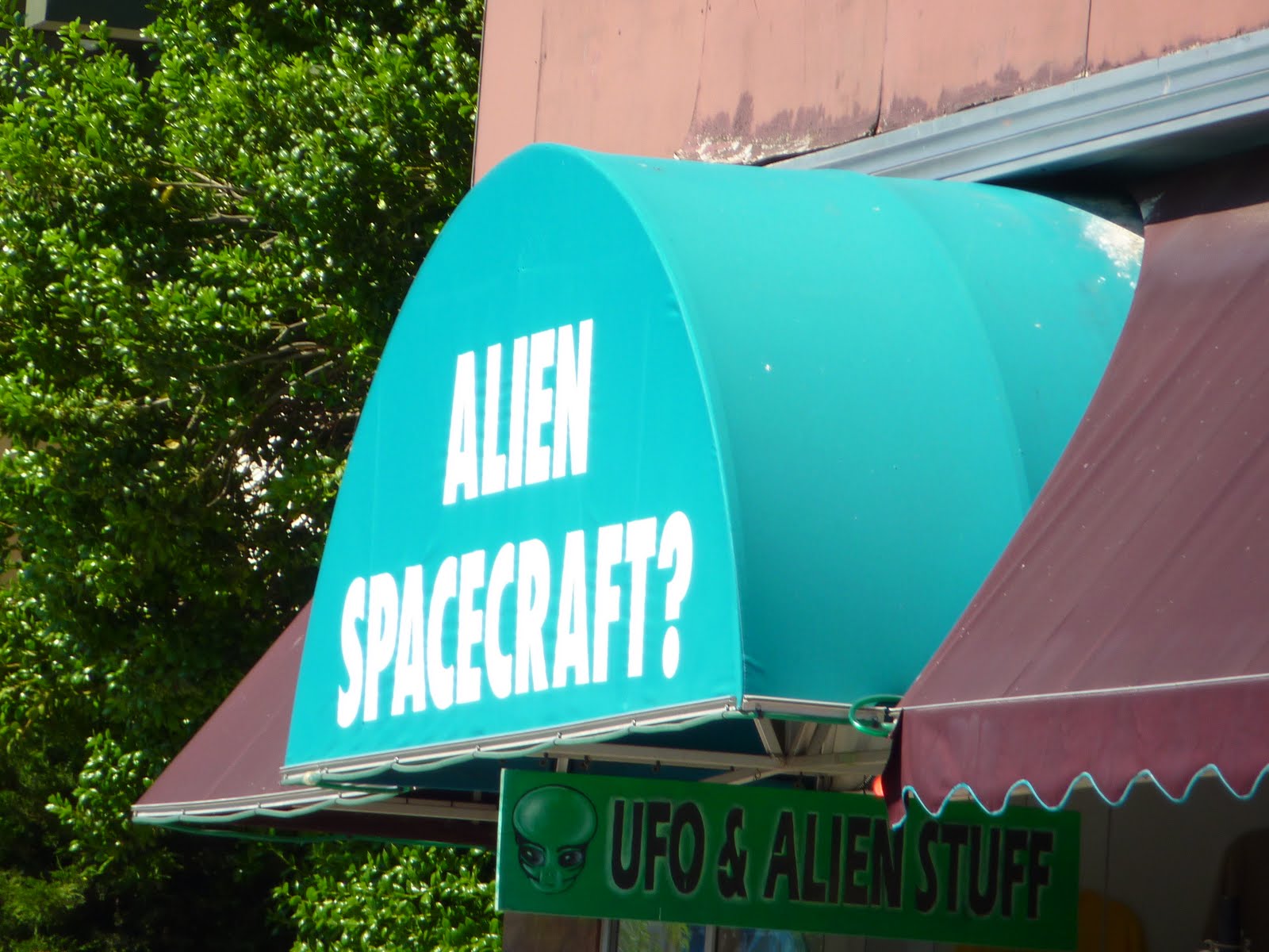
Here is one of many alien related shops in Roswell. They also have a huge alien festival around the July 4th weekend.
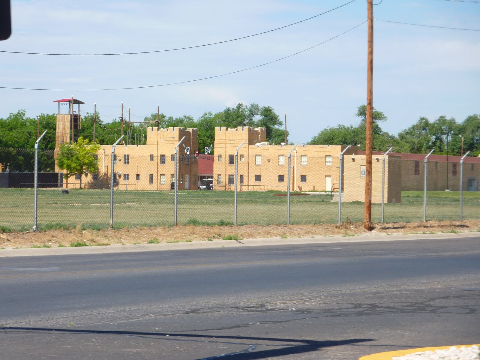
Roswell also has what they refer to as the "New Mexico Military Institute"?? Not sure what that really means? Looked more like a medium security prison from the outside.
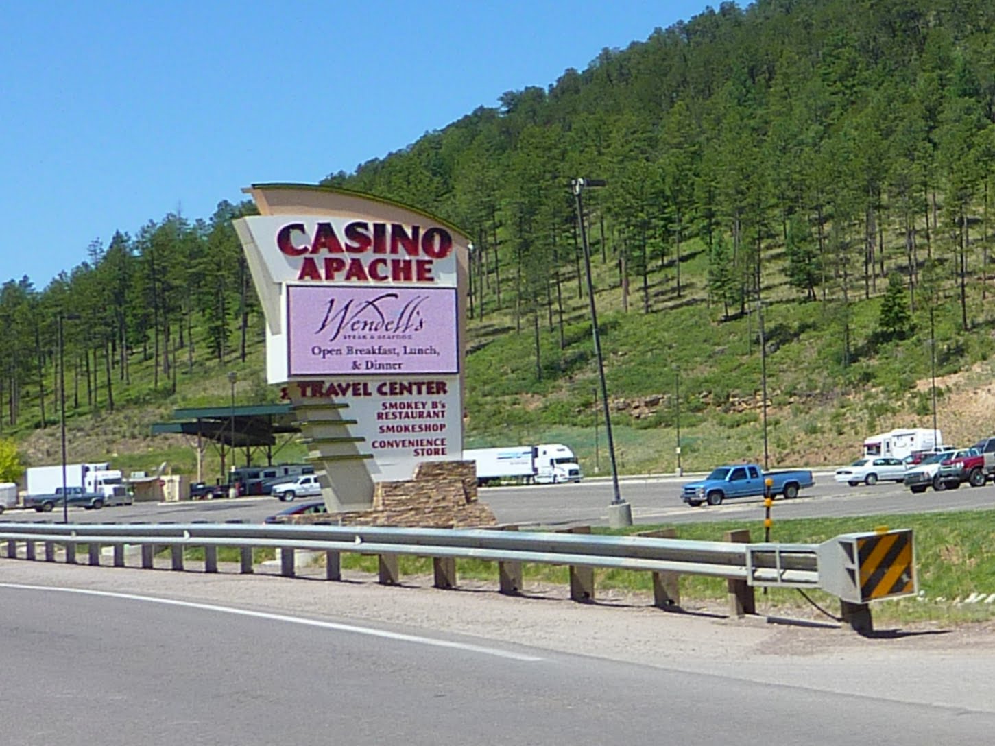
Travelling through a lot of Indian land, we encountered a lot of these. No, we did not spend any time inside, we'll save our money for Vegas.
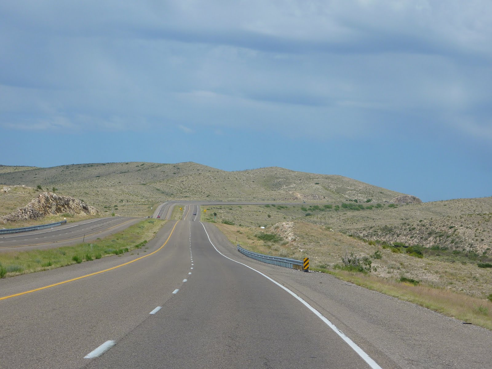
The photo below gives you an idea of the road travel through southern New Mexico. You can see nothing for miles, except the road ahead of you. It's amazing how little there is out here, in such a huge expanse of land.
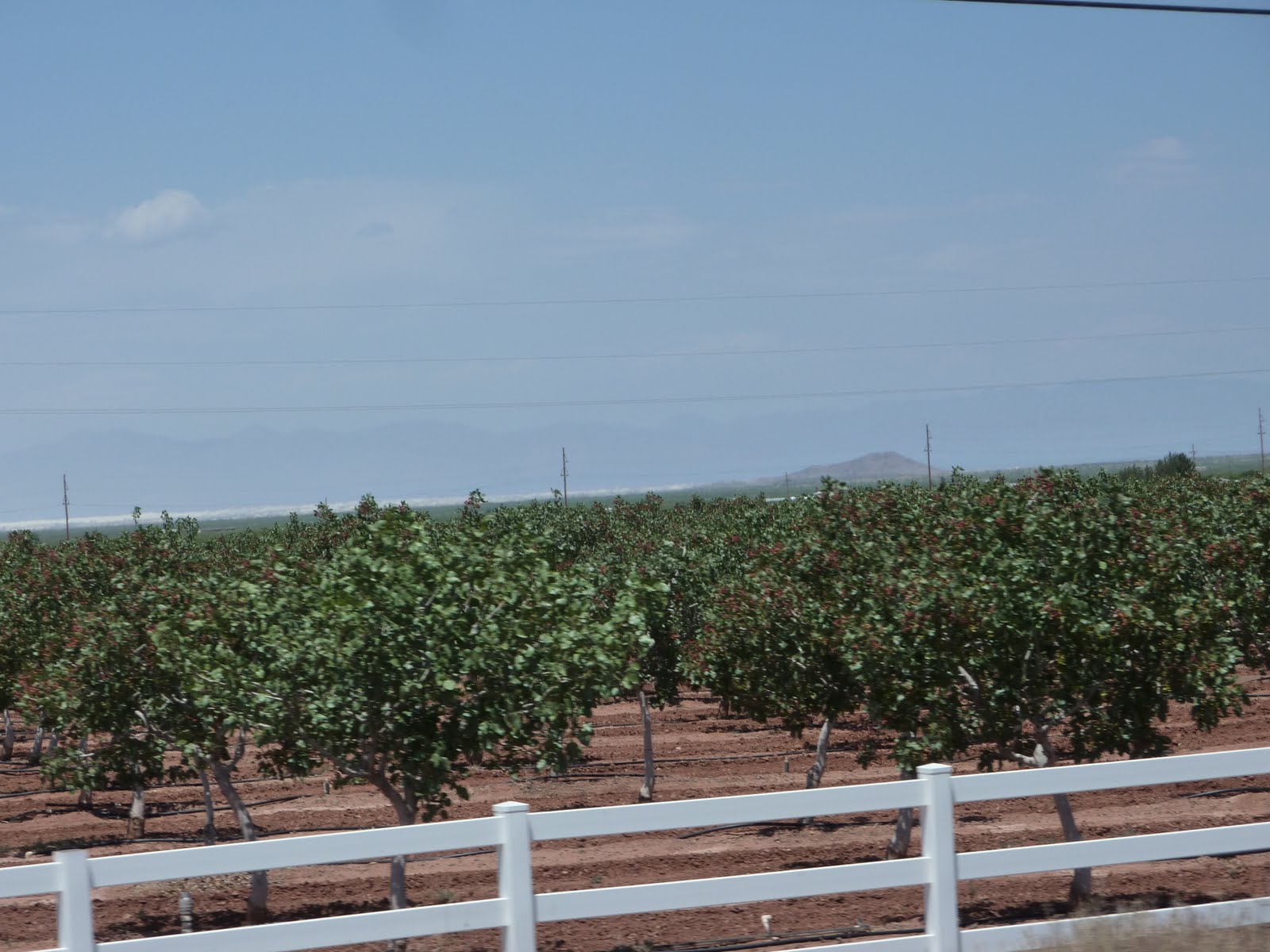
There were number of pistachio farms we passed on our ride today. I never really thought much about it, but I guess pistachios grow on trees?? Who'da thunk it?
We also spotted a number of these "gift" shops. They appear to sell just about anything you might need :)

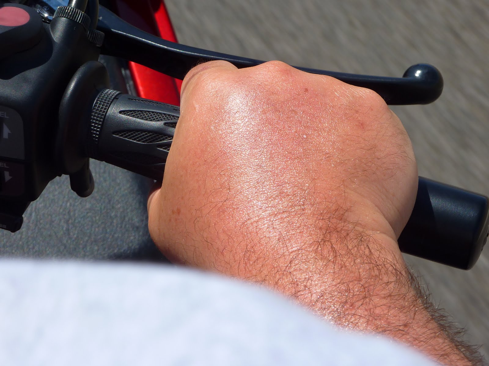
It has been pretty hot out here, and I have had one issue with the heat and sun. It's my fault for not putting suntan lotion on my hands. Last night, they were actually pretty swollen. Take note kids, the sun is hot, and unprotected skins burns :)
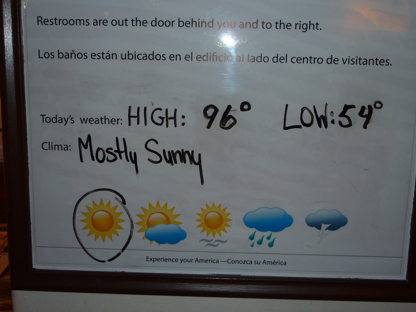
Today was JUST 96. They are saying the temps should be around 107 by the weekend.
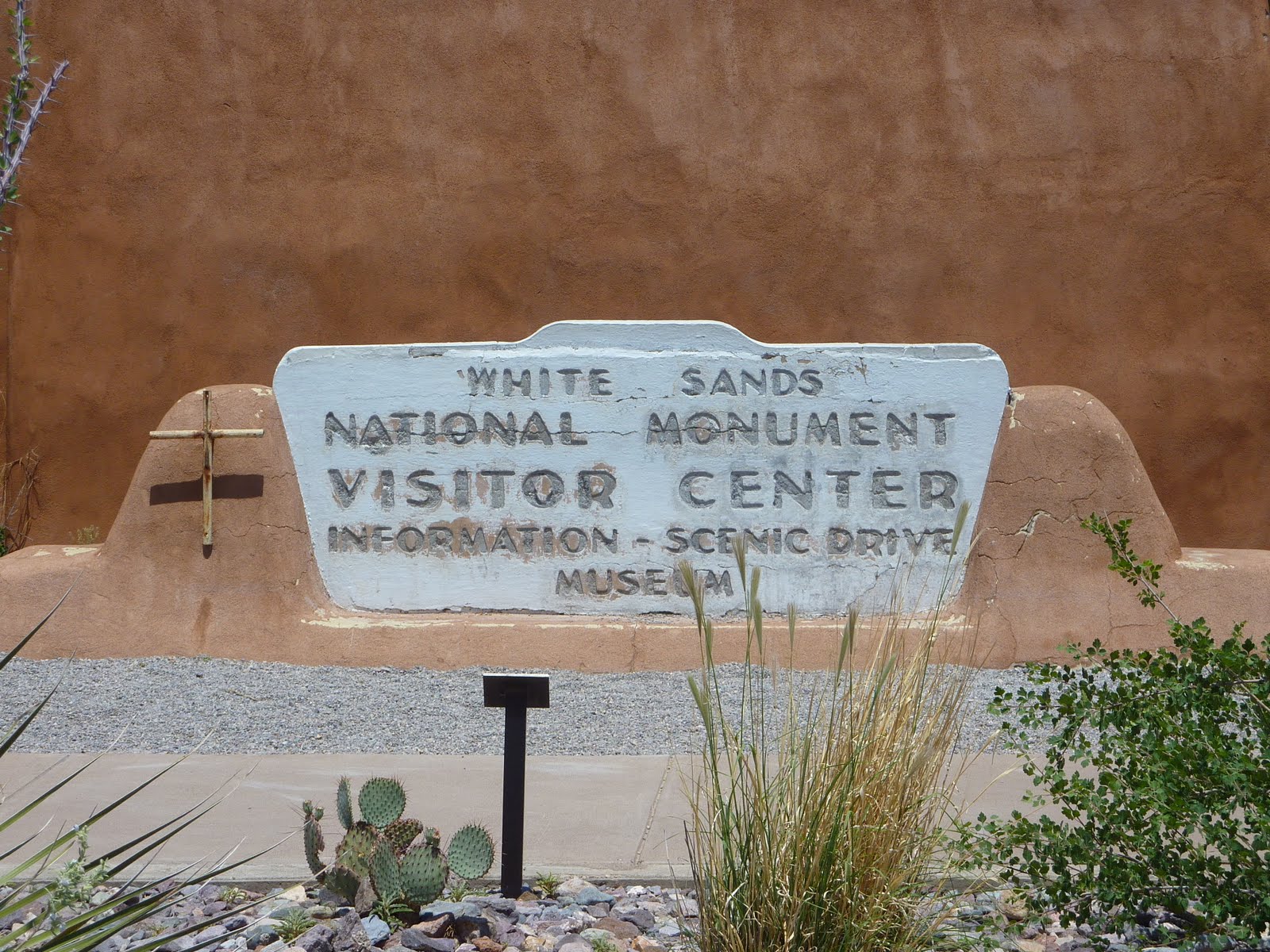
Today was our first stop at a National Monument. We visited White Sands National Monument, which is located within the White Sands Missile Range. The area is in the mountain-ringed Tularosa Basin valley area and comprises the southern part of a 275 square mile field of white sand dunes composed of gypsum crystals. That's correct, these are not quartz crystals like most sand beaches, they are the same gypsum crystals that are used to make drywall.
Gypsum is rarely found in the form of sand because it is water-soluble. Normally, rain would dissolve the gypsum and carry it to the sea. Since the Tularosa Basin has no outlet to the sea, rain that dissolves gypsum from the surrounding mountains is trapped within the basin, and the rain either sinks into the ground or forms shallow pools which subsequently dry out and leave gypsum in a crystalline form on the surface. The ground is covered with these crystals which reach lengths of up to three feet. Weathering and erosion eventually breaks the crystals into sand-size grains that are carried away by the prevailing winds from the southwest, forming white dunes. The dunes constantly change shape and slowly move downwind, covering the plants in their path.
There were a ton of these cute characters hanging around the visitor center building. Probably looking for some food from the humans.
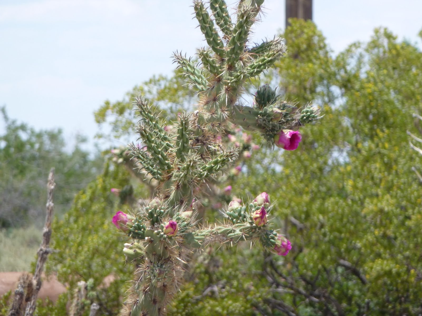
A lot of interesting flowering cacti too.
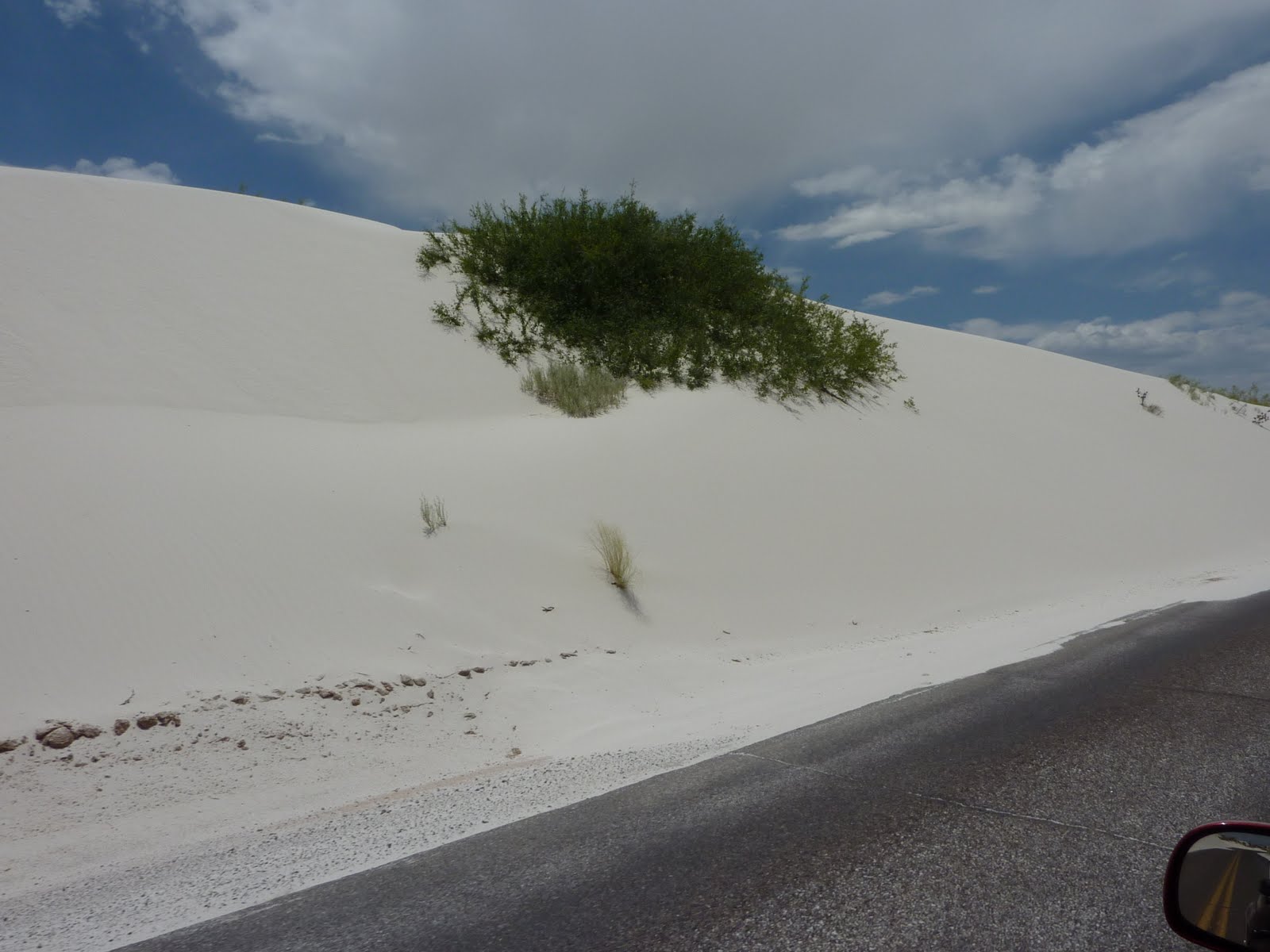
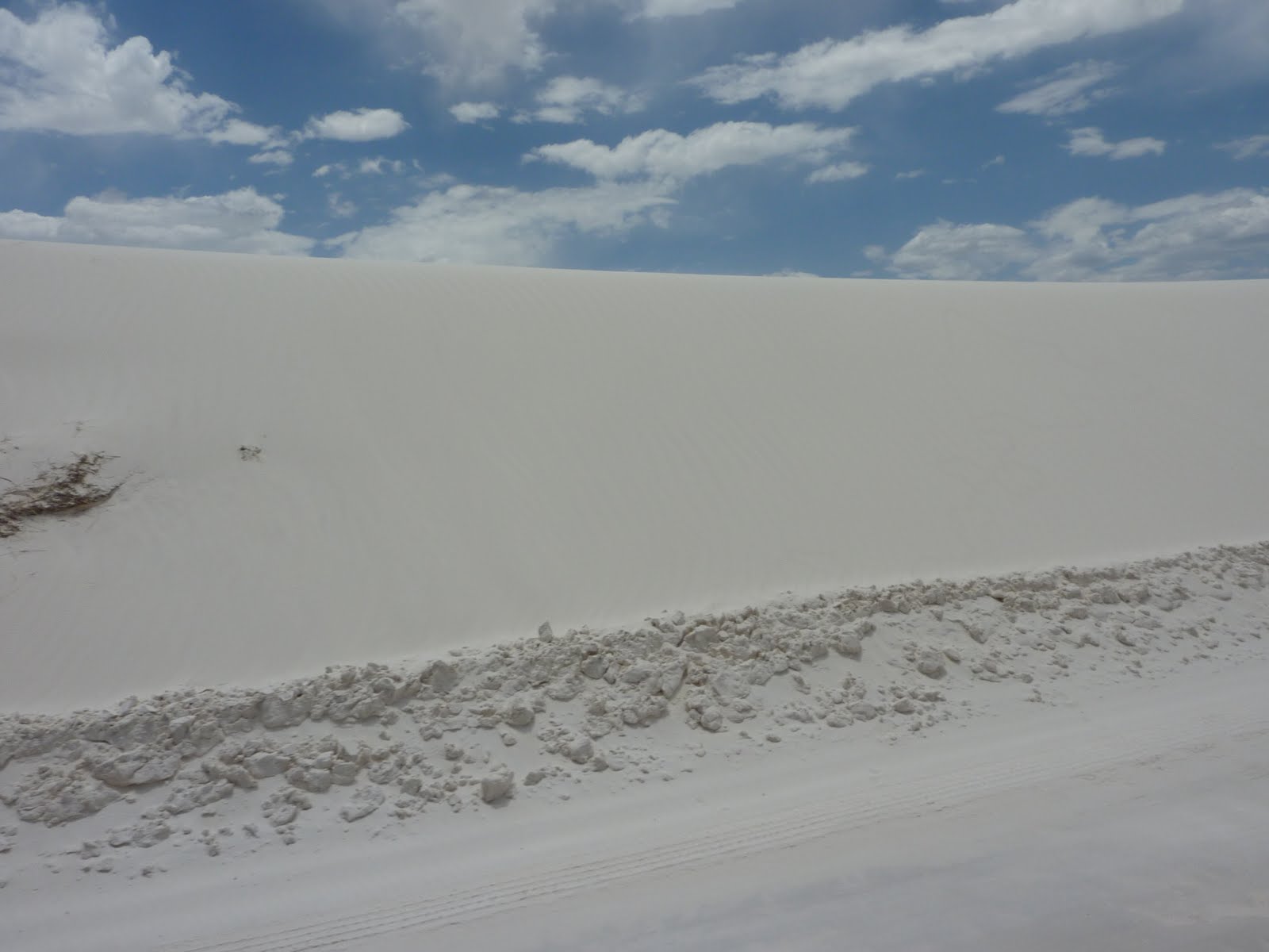
Here are a few shots of the gypsum dunes. The elm trees in this area have actually adapted to the dunes, and can actually live while buried in the gypsum, as long as even a small amount of leaves are exposed to sunlight. The yucca plants in this area have also adapted. When a dune begins to encroach on a yucca, it can create a growth spurt in the plant, which will form a tall trunk, with the actual yucca plant head kept above the dune level. The visitor center indicated that the dunes in this area can grow as high as 60 feet.
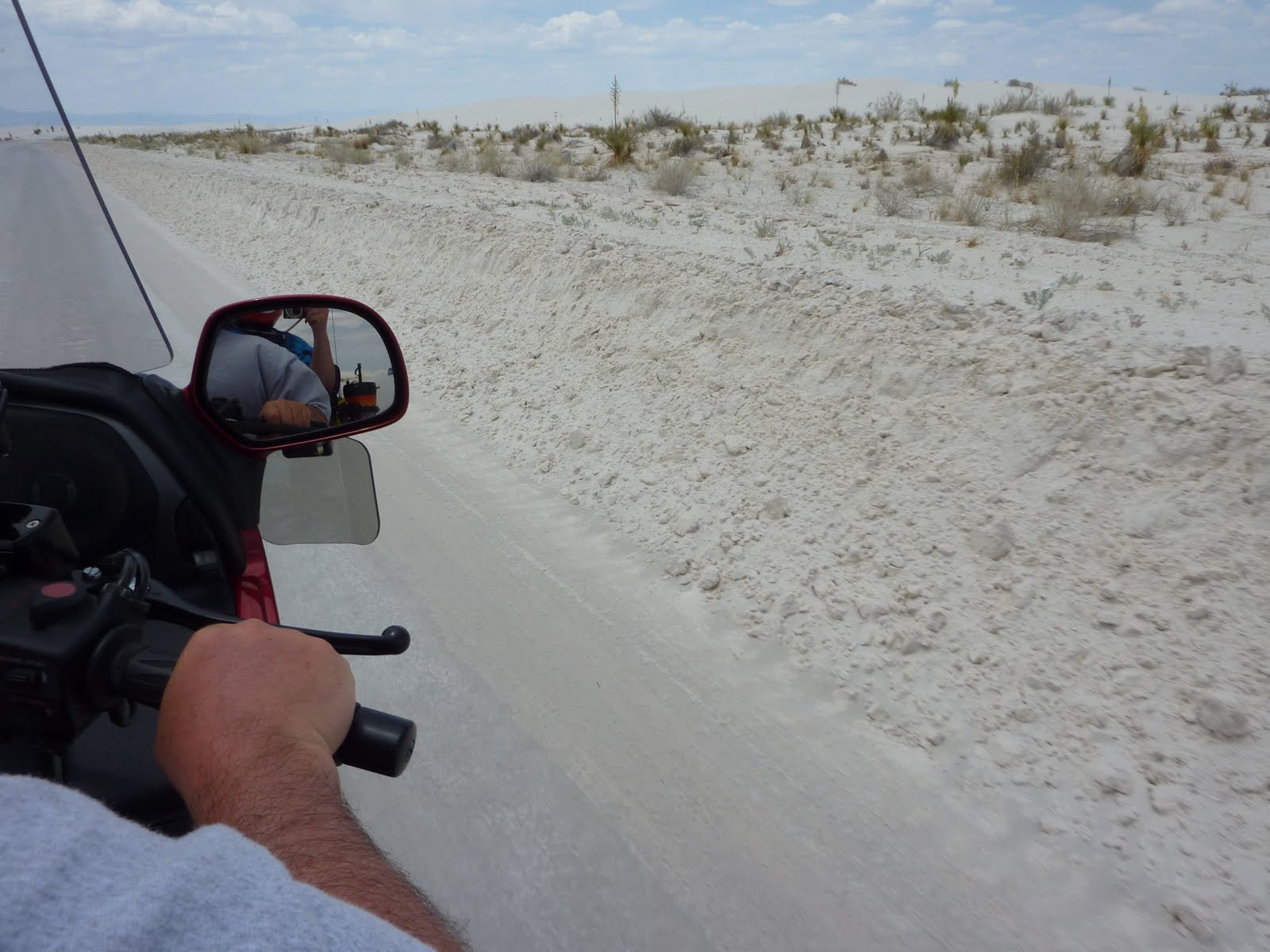
You can drive about 8 miles back into the dune area. The road below may looked paved, but it is not. They actually employ snow plow trucks to plow the gypsum, and then wet it down to form a roadway. Once wet, the gypsum compacts and forms an extremely hard surface that can be easily driven upon.
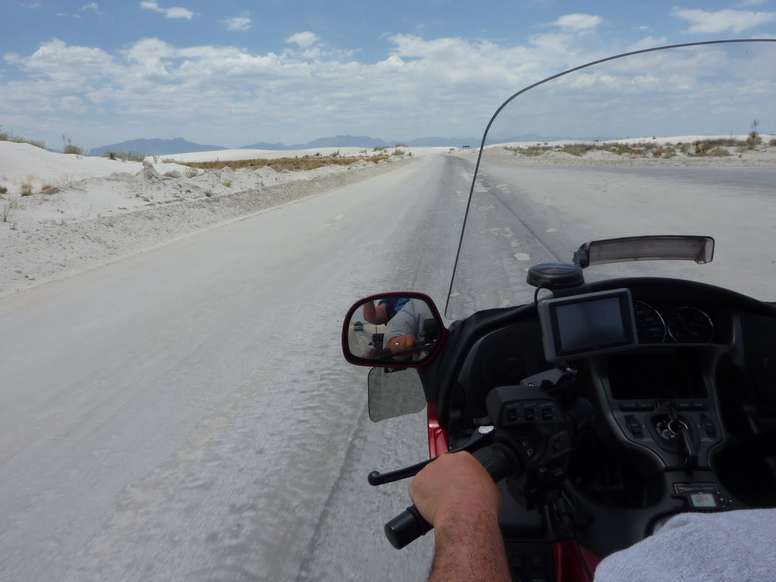
You can see in the 2 photos below, how the light fluffy gypsum is pushed aside by the plows to form the roadway.
People seem to do the same kinds of stuff here you would see at any normal beach/sandy area. The dad of this family seemed to be digging a hole and trying to bury his kid, or perhaps, the "evidence." :)
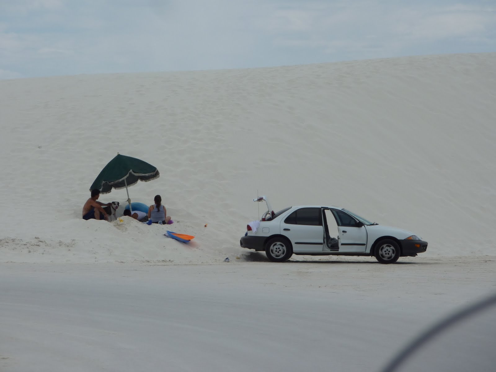
You can purchase sleds in the visitor center, and we saw a number of people sledding down the dunes.
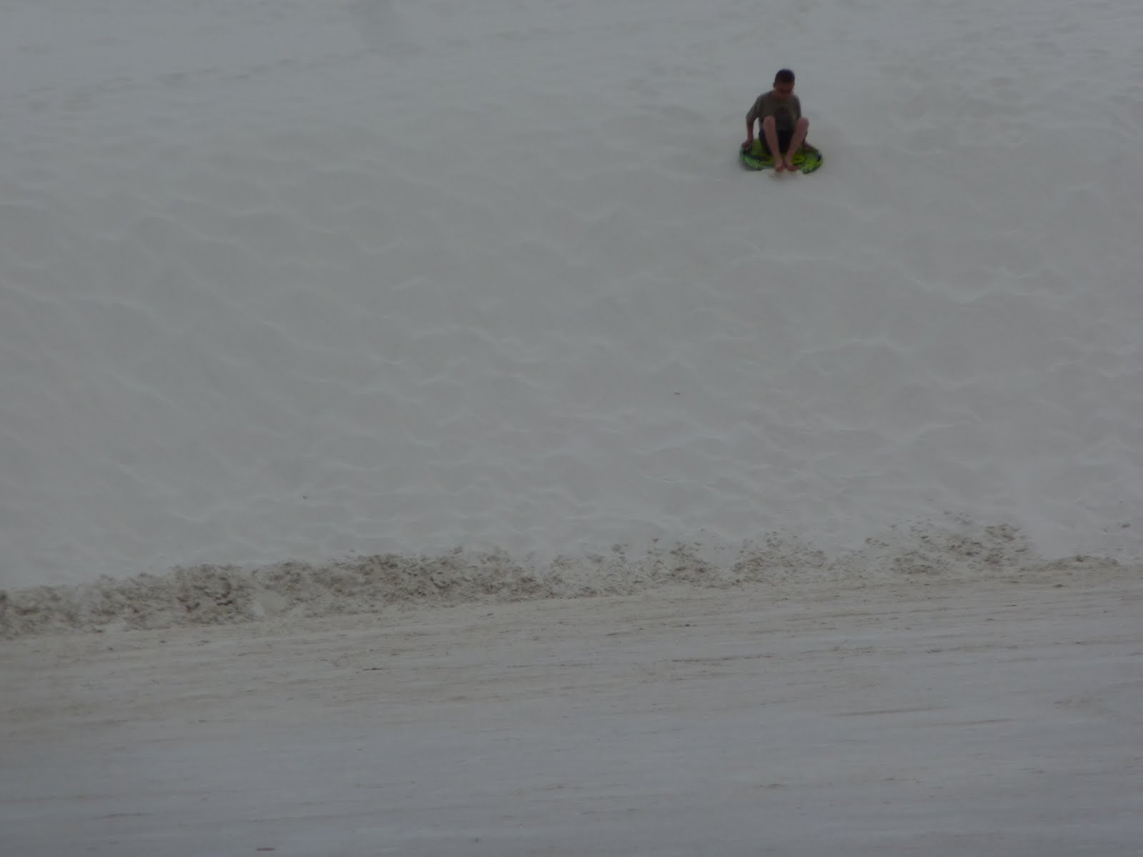
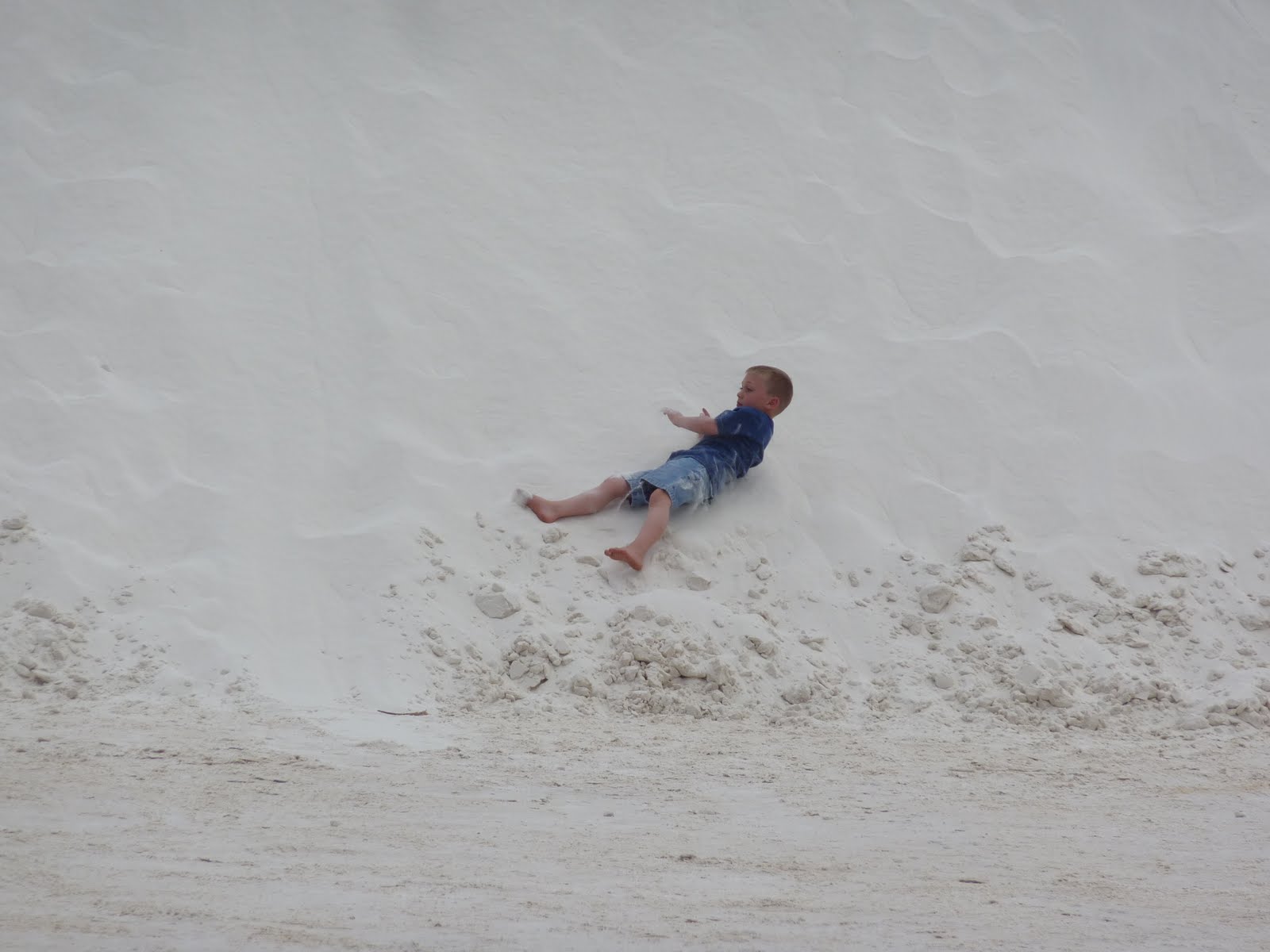
Then there are those who just don't get the idea of sledding, and obviously prefer to body surf (or more appropriately fall) down the dunes.
As you can see, the dunes get pretty tall. All of white gypsum in the area also makes for a "glaring" situation, you really need your sunglasses.

Also within the White Sands Missile Range, is the "Trinity" sight. This spot, known as ground zero, was where the first Atomic Bomb was detonated in 1945. This lead to the use of 2 more Atomic Bombs later in 1945, as they were detonated over Japan. These bombs were the creation of the governments Manhattan Project, which was conducted in the highly secret "city" called Los Alamos. Los Alamos hosted thousands of employees in secret (its only mailing address was to a post office box, numbered 1663, in Santa Fe, NM about 100 miles north of White Sands), including many Nobel-Prize winning scientists.
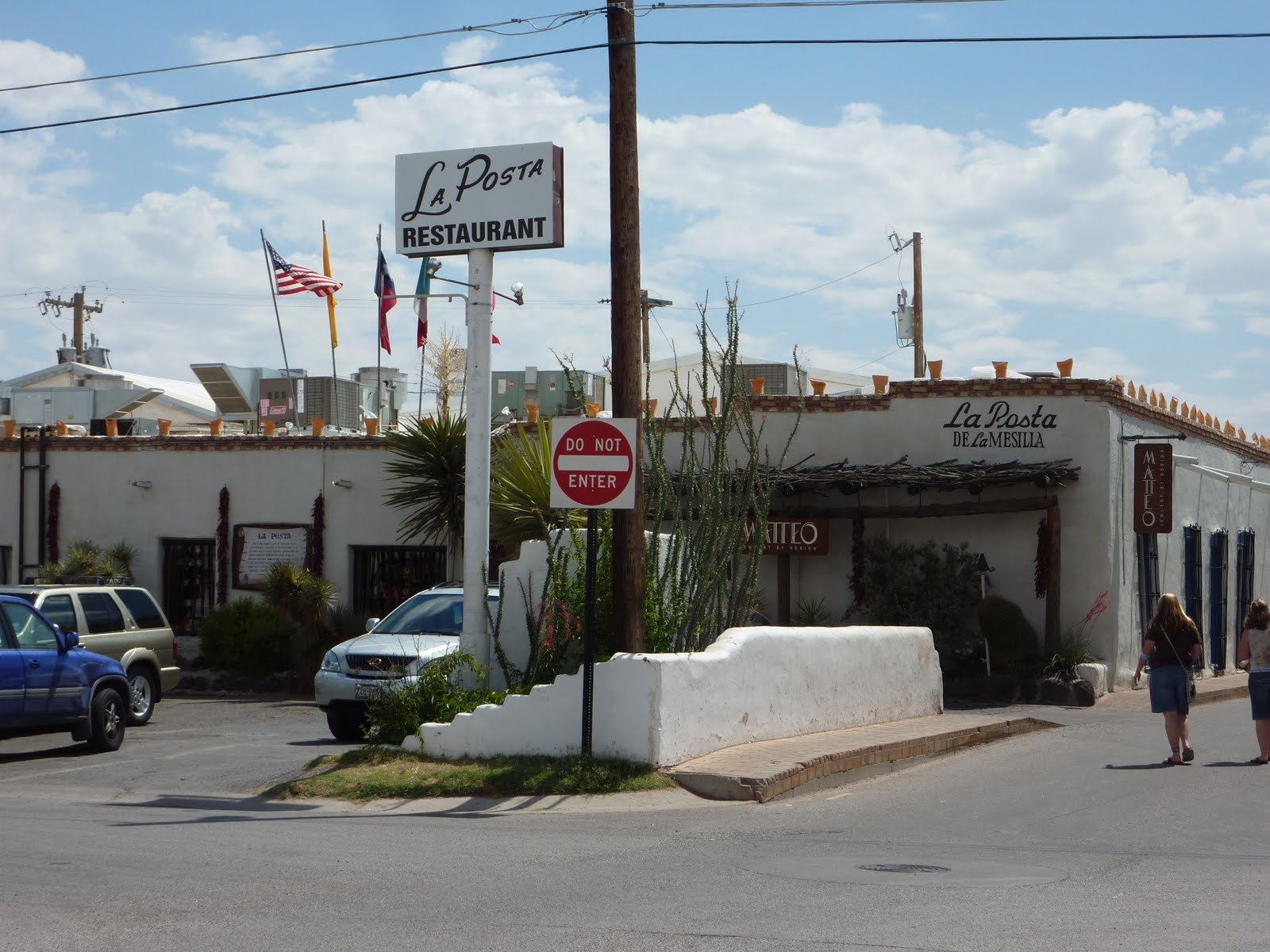
After leaving White Sands, we passed through Las Cruces NM, and stopped to eat at a place recommended by one of Lennie's friends, La Posta (thanks again Daiva, the food was wonderful).
Below is the map of our route for the day. We traveled about 315 miles, bringing our total to roughly 2186 miles.
Google Sites
Report abuse