Embedded Files
Where are Tom and Lennie Now? -Click Here For Our Current Location
Click here for an overview of this trip.
Add your comments and feedback here!
Today is our last day in Yellowstone, and we plan to ride through the Lamar Valley area and exit out of the northeast park entrance.
We enter the park from Gardiner Montana at the northern end of the park. The entrance way is through the Roosevelt Arch. The arch's cornerstone was laid down by President of the United States Theodore Roosevelt in 1903. The top of the arch is inscribed with a quote from the Organic Act of 1872, the legislation which created Yellowstone, and it reads "For the Benefit and Enjoyment of the People."

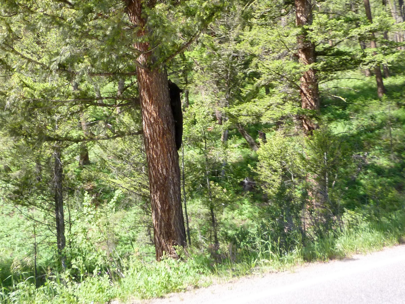
Shortly after entering the park, we got to see our second bear of the trip. This one was a cub, climbing a tree, right along side the main roadway. He paused to watch us pass, but just as Lennie took the picture, he turned his head and continued up the tree.
The Lamar Valley portion of the park is packed with herd after herd of Bison. It seems the entire valley floor is covered with them. Pretty amazing to see just how many there are in the park.

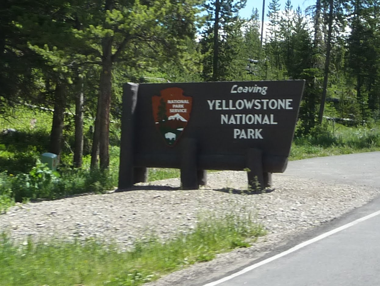
After passing through the Lamar Valley, we exited the park via the northeast entrance. This will be our last exit from the park, as we are now heading off to Cody Wyoming and places east.
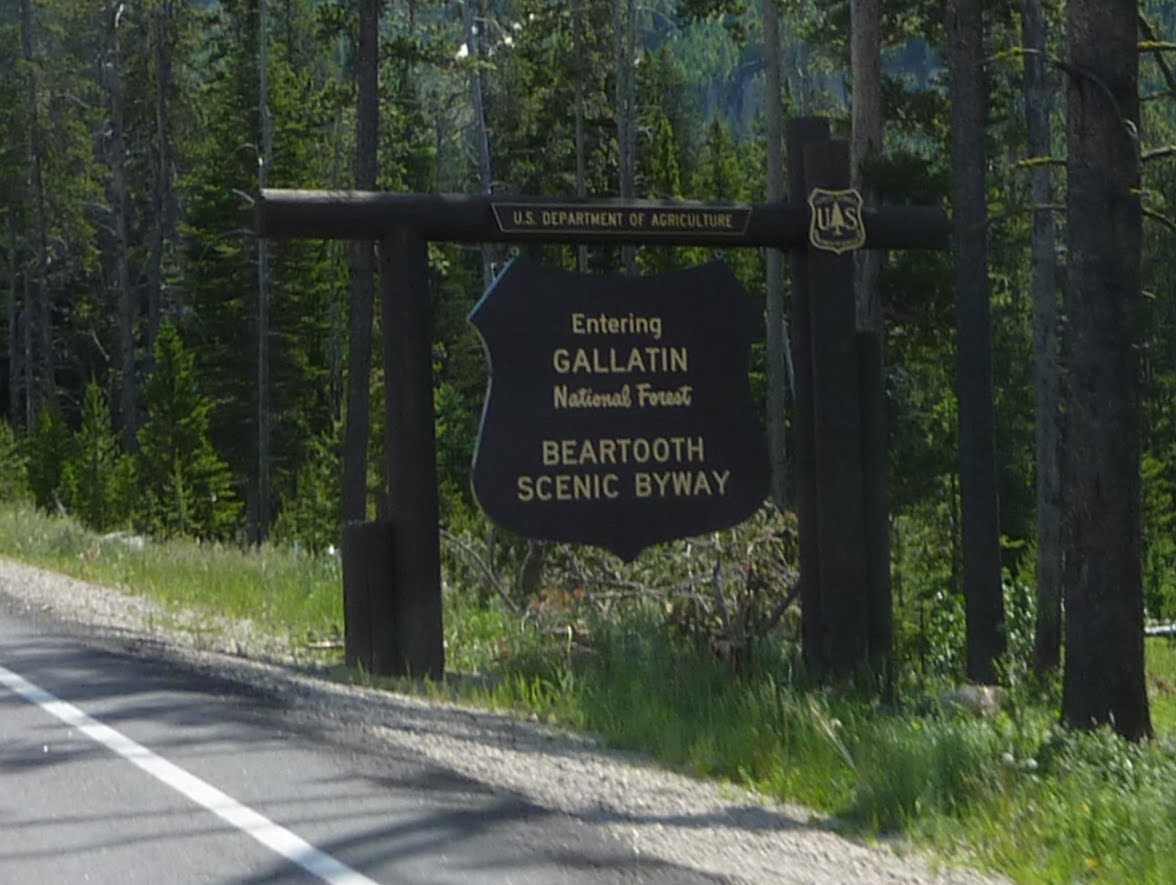
Our ride will now take us across the Beartooth Highway and Chief Joseph Highway, then down into Cody Wyoming.
The Beartooth Highway is a US scenic byway that has been called "the most beautiful drive in America," by late CBS correspondent Charles Kuralt. Because of heavy snowfall at the top, the pass is usually open each year only from mid May through mid October, weather conditions permitting.
Beartooth Highway is also known as U.S. Highway 212 and runs between Red Lodge, Montana and Cooke City, Montana. It traces a series of steep zigzags and switchbacks, along the Montana-Wyoming border to the 10,947 ft high summit. One section has an elevation rise from 5,200 ft to 8,000 ft in just 12 miles, through some pretty daring landscape. There are also numerous lakes which border the highway along much of its route.
The highway officially opened June 14, 1936.
Because of the high altitudes, snowstorms can occur even in the middle of the summer and the pass is also known for strong winds and severe thunderstorms. It takes roughly two hours for the 69-mile long trip from Red Lodge to Cooke City.
Given the high altitude, twisty roads, winds, lack of guardrails in many areas, should we really have to worry about cows too?

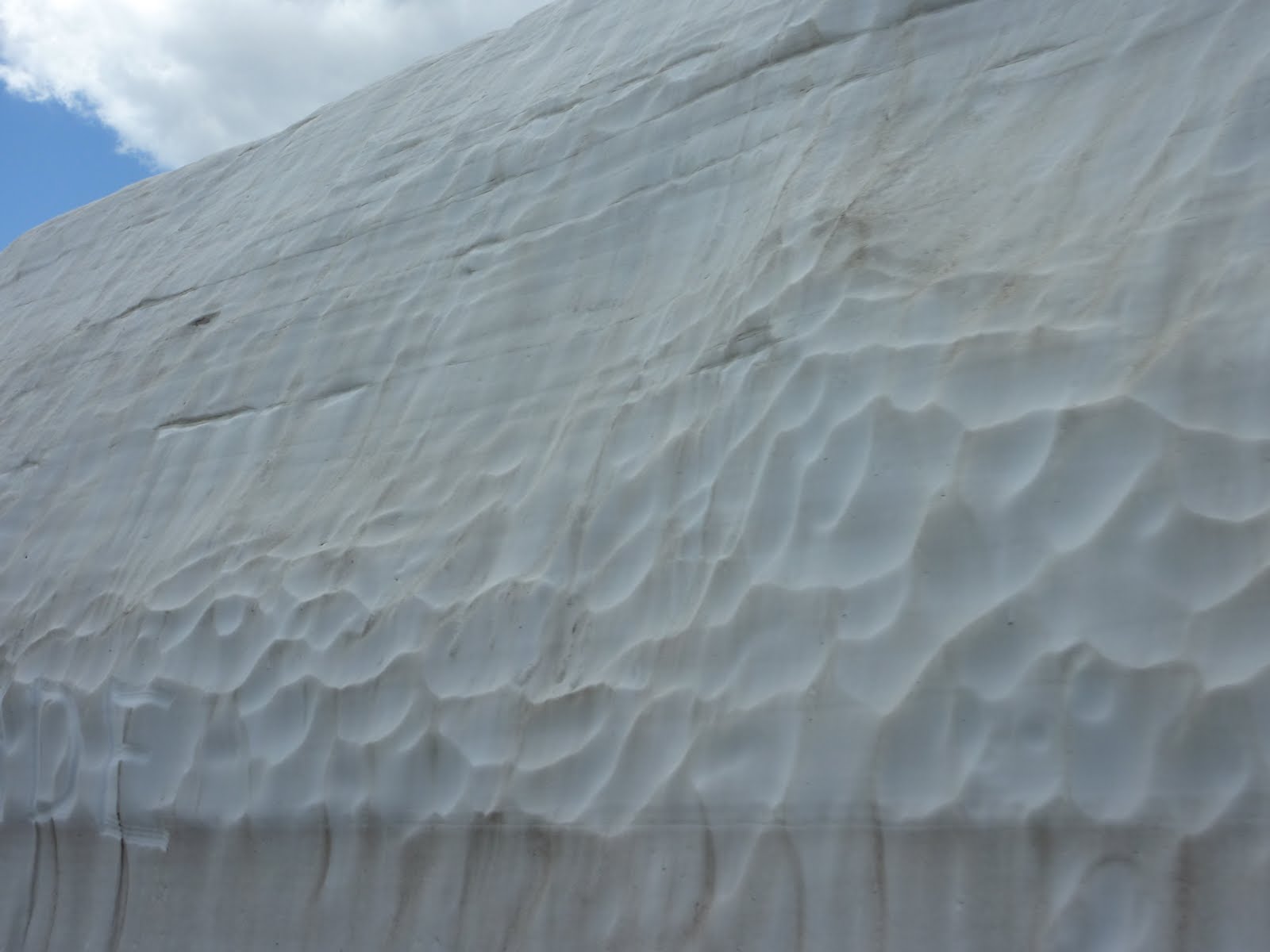
Up in the pass, there was still a fair amount of snow on the ground. I know another fellow who was here two weeks ago, and he got caught in sleet and snow as he made the pass over Beartooth.
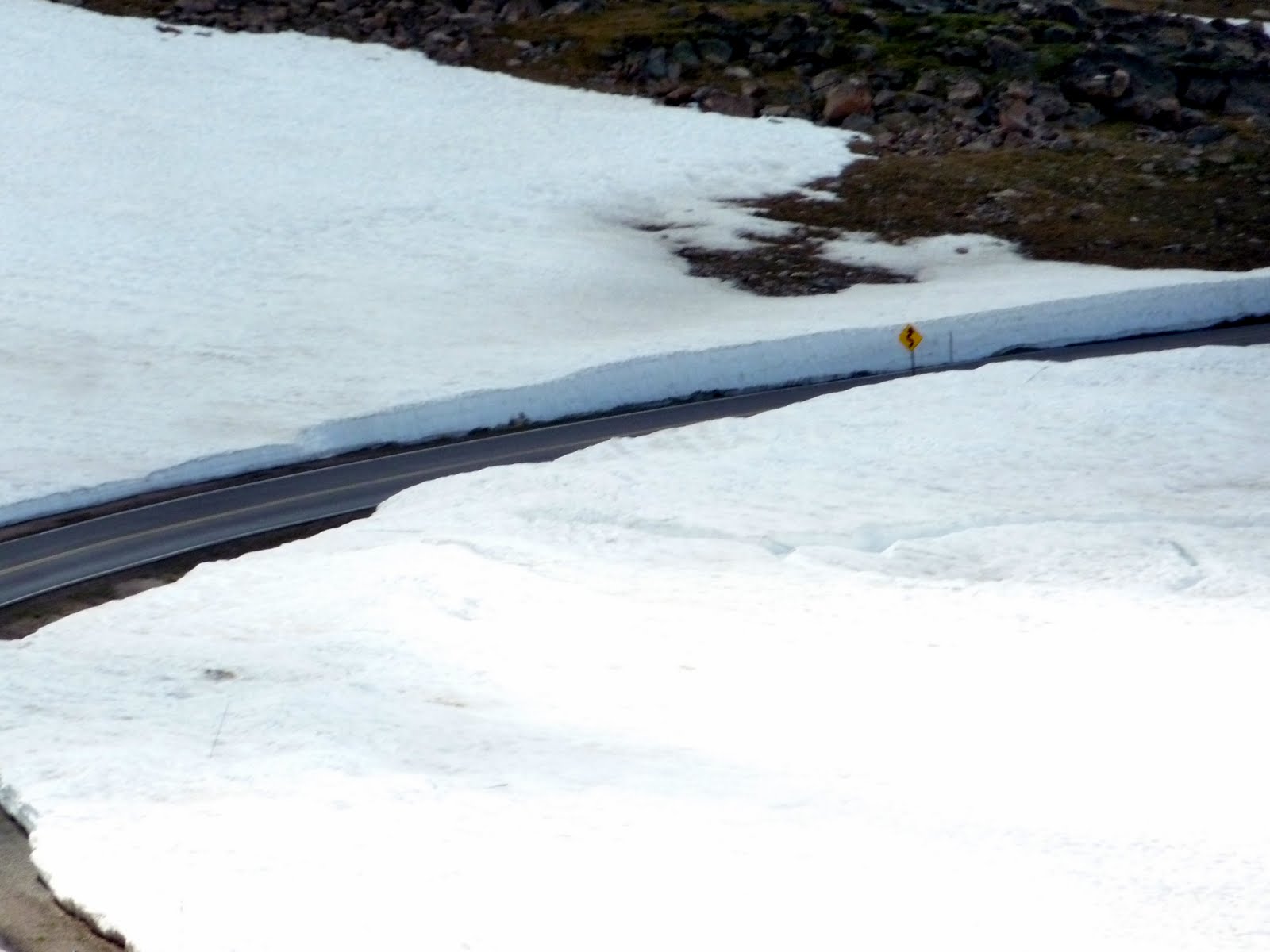
Here the snow at the roadside is close to 10 feet high.

This area had the most snow pack along the road, hitting about 20 feet in height.
We noticed this guy parked along the roadway. I guess they just leave them up here all year long. This is a rotary plow that they use to clear snow from the pass. I bet I could clear my driveway pretty quickly with that thing.

I mentioned in an earlier post, that I really enjoy those mountain roads where you can look back down and see the road you just traveled. Here is a bunch of shots looking back at all of the switchbacks on the way up.
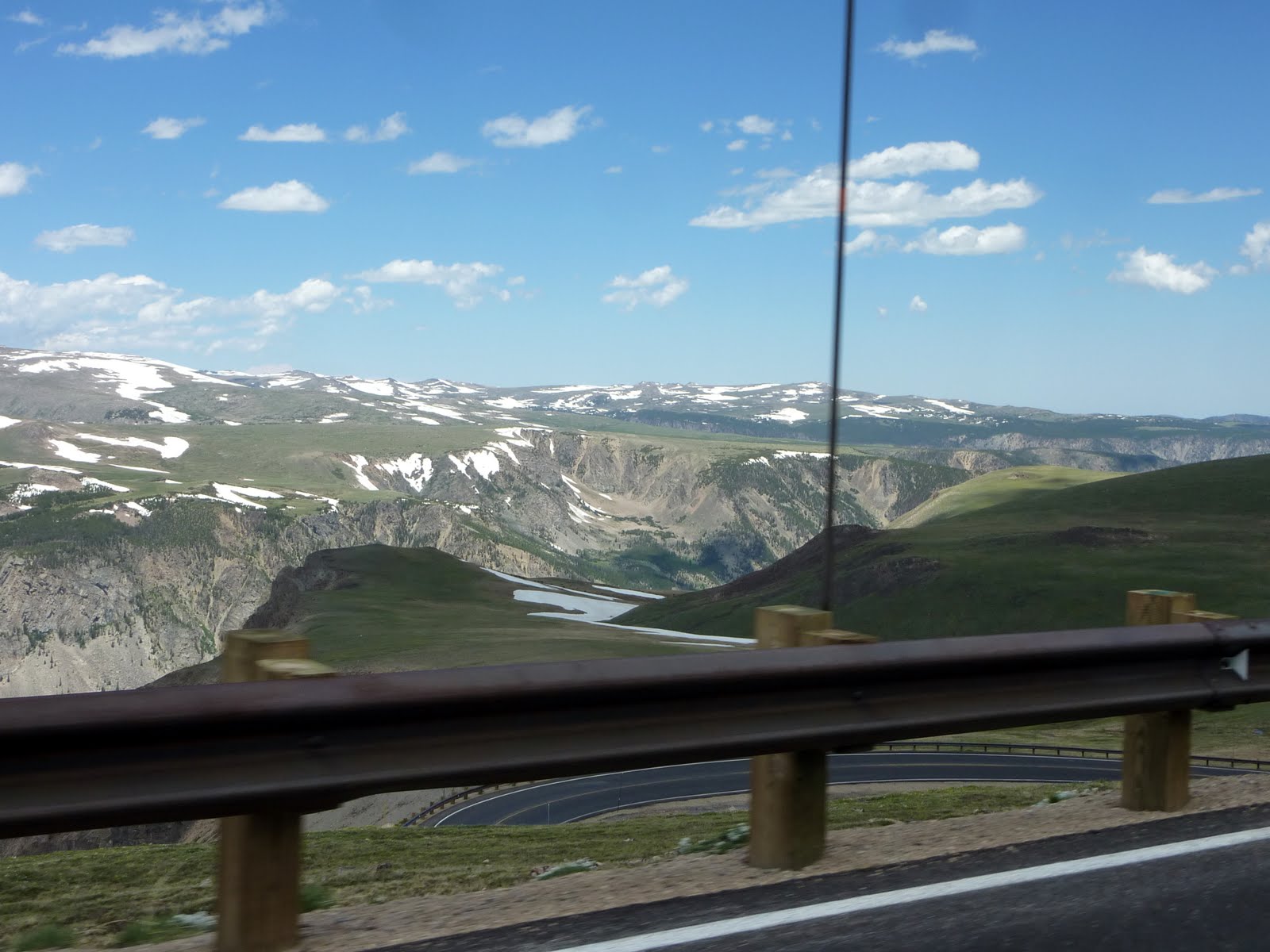
This shot gives a pretty good idea of just how high you climb in a short distance. Moments ago, we were on that roadway below.

Another neat shot of the roadway below.

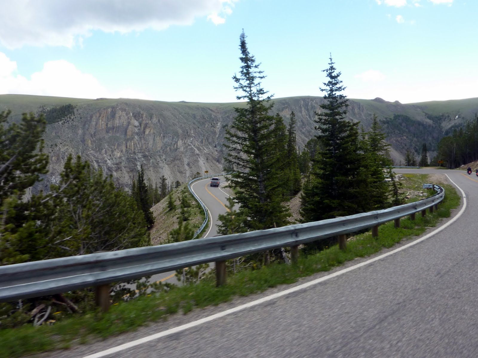
Another view of the road below, as we start to descend down into the valley toward the town of Red Lodge.

The last of the switchbacks before dropping into the valley and heading in to Red Lodge.

There were a huge number of bikers on the pass today, and as we pulled into Red Lodge we discovered why. Today was the annual Beartooth motorcycle rally. Not nearly as large as Sturgis, but there were bikes lining the town streets for as far as you could see.

I have to say, that Beartooth pass is my all time favorite motorcycle road!!!! One of the motorcycle magazines did an article a couple of months back, and it listed what they believe to be the best 15 motorcycle roads in the US. Lennie and I have traveled 12 of those 15, and by far Beartooth is #1.
My favorite riding state is Colorado, due to the huge number of great roads, and high altitude passes in such a small area.... but my favorite road is certainly this one.
Having said that, we decided to eat lunch in Red Lodge, then traverse Beartooth again in the opposite direction!!
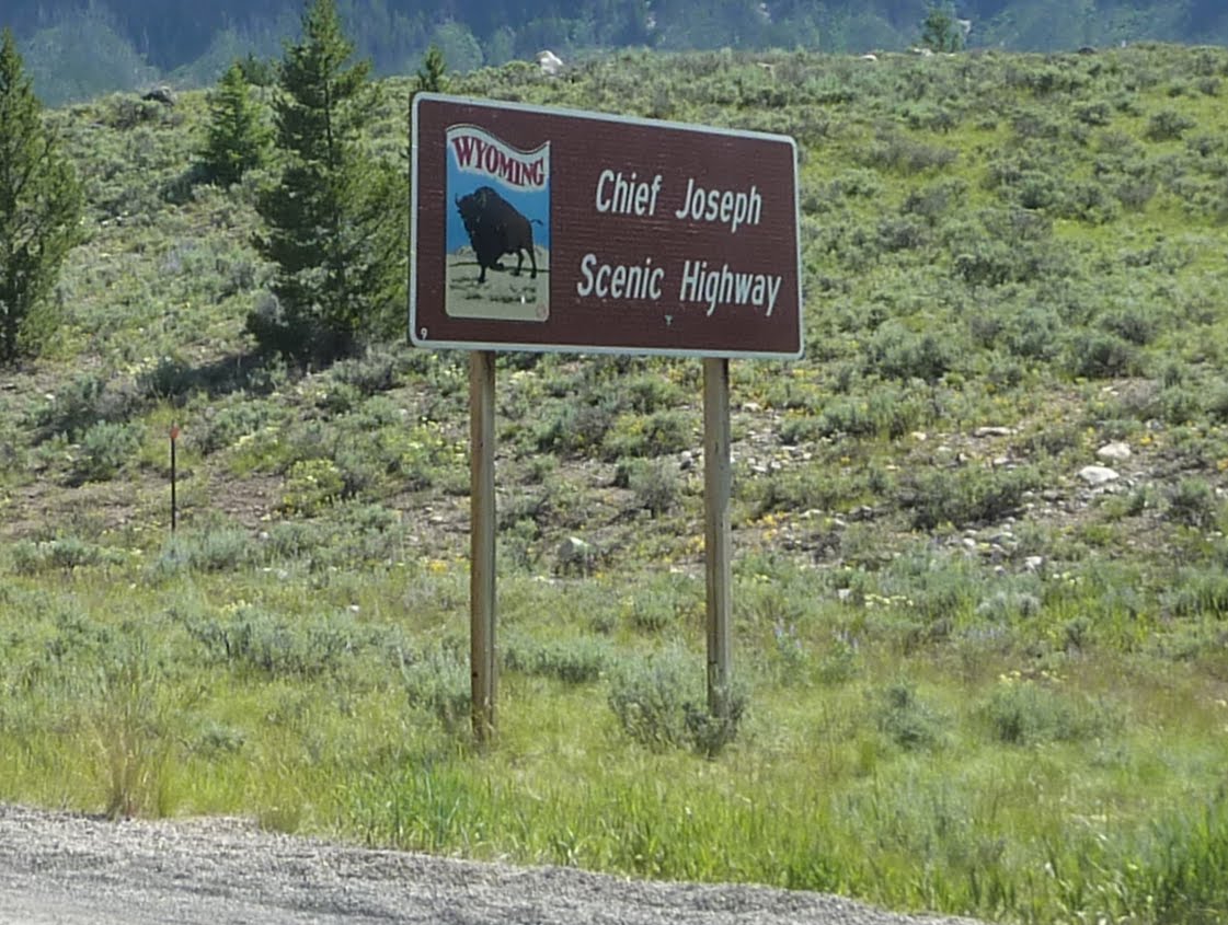
Once back across, we picked up Chief Joseph highway and headed to Cody.
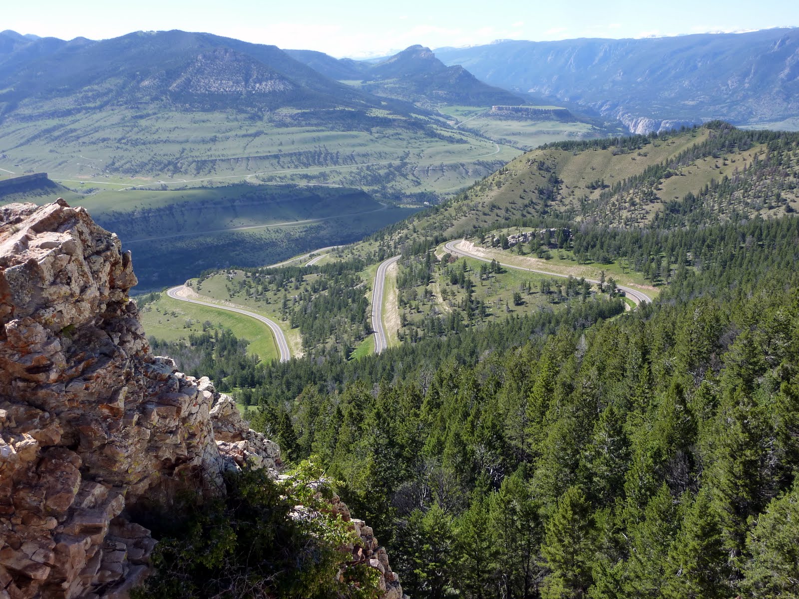
The Chief Joseph Scenic Highway winds 46 through the Shoshone National Forest and through the Absaroka Mountains of Wyoming. The road follows the route taken by Chief Joseph as he led the Nez Perce Indians out of Yellowstone National Park and into Montana in 1877 during their attempt to flee the U.S. Cavalry and escape into Canada
This pass is at a much lower altitude than Beartooth, but is still pretty scenic. Here are a couple of photos from one of the overlooks. You can see the switchbacks below.
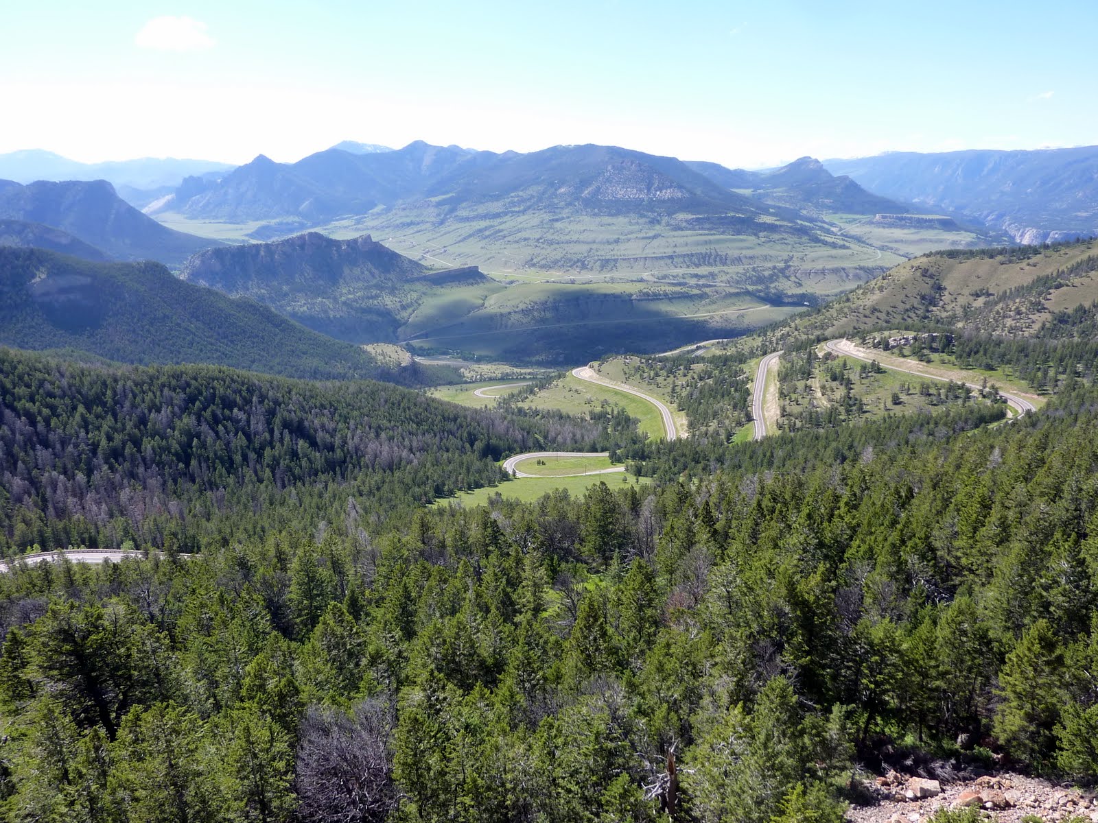
One last short climb, then back down into the valley and on into Cody Wyoming.

As we were checking into the hotel, we were greeted by this fellow. He didn't have a lot to say, but welcomed us none the less.

That's a wrap for today. Tomorrow we plan to traverse the Big Horn Mountains to the east of Cody, and visit the Little Bighorn Battlefield where Custer took his last stand.
Our stats for today indicate that we covered 238 miles, bringing our trip total to 4543 miles. Below is a map of our route from today.
Google Sites
Report abuse