Embedded Files
Where are Tom and Lennie Now? - Click here for our current location !
Add your comments and feedback here!
Day 14, and our plan for today is to ride from Monterey CA to San Francisco CA, continuing our ride up the PCH. It was a bit chilly this morning with a pretty heavy fog hanging in the air. We loaded the trailer, put on our jackets and of we headed.
I was surprised to see a large number of farms in this coastal area. We had seen many farms in the Central Valley of California earlier in the trip, I was just did not expect them right along the coast. Rather than orchards of various fruits and nuts, these fields appeared to be covered in beans, cabbage, and other short green crops (told you I was not a farmer).... If you enlarge (click on) the photo below, you can see they are actually harvesting.

This area of the PCH does not appear to be as rugged at the Big Sur area south of Carmel. We passed a number of beach areas right along the road as we traveled.
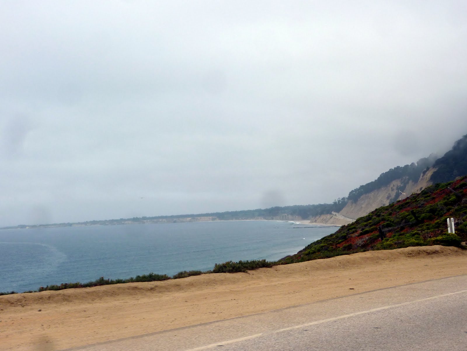
I assume these are public access areas? It was cold enough that we did not see any actual beach goers.

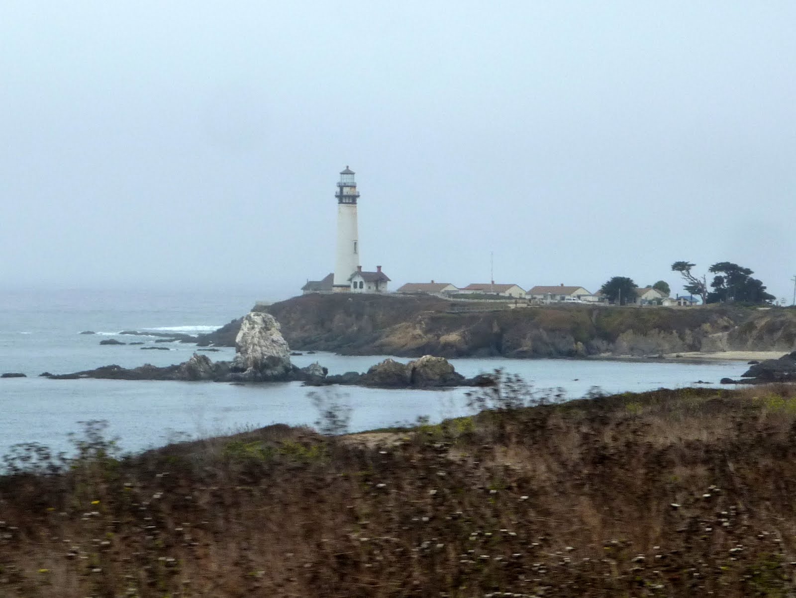
This is Pigeon Point Light House, just a bit south of Pescadero CA, on the PCH. Unfortunately, we did not have time to stop.
Pigeon Point Lighthouse was built in 1871 to guide ships on the Pacific coast of California. It is the tallest lighthouse (tied with Point Arena Light) on the West Coast of the United States. It is still an active Coast Guard aid to navigation. The 115-foot white masonry tower, resembles the typical New England style lighthouse. Because of its location and ready access from the main highway, Pigeon Point receives a large number of public visitors. It is also one of the most picturesque lighthouses on the Pacific coast. The tower stands on a rocky outcropping and has long been a landmark for ships approaching San Francisco Bay from the south. This headland, and hence the lighthouse, took its name from the ship Carrier Pigeon that wrecked here in 1853.
As you continue to the north, the terrain starts to get a little more rugged. You can still see the fog in the air in the photo below.

If you look at the left portion of this photo below, you can really see the amount of fog that was still in the air. It was early afternoon when this picture was taken. Oh yeah, it was still cold :(

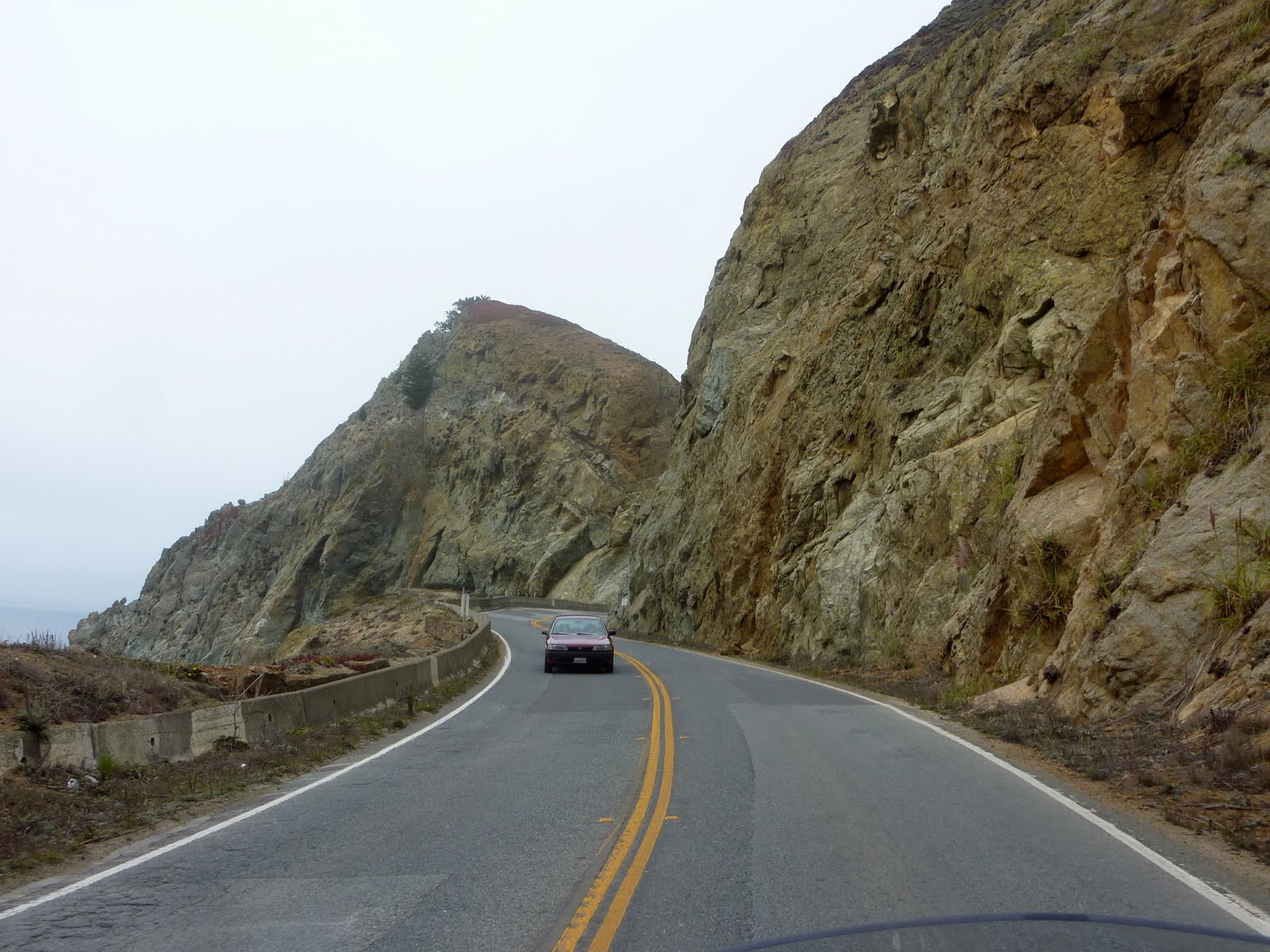
Again, as you continue north, you start to climb a bit in altitude, and you encounter much rockier terrain.
As you approach San Francisco, Highway 1 moves away from the coastline. This portion of the Highway 1 takes you through an interesting little wooded area.

Then poof, there you are in San Fran. You can see in the photo below there is still heavy fog, and now the winds are starting to pick up a bit. Can you say chilly????

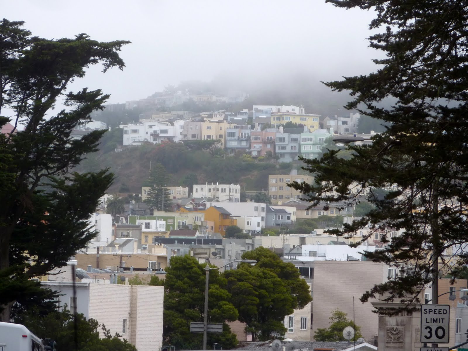
This was a nice shot of some houses taken from Hwy 1 near downtown San Fran.
And we are now officially into the traffic of San Francisco. Notice the motorcycle rider on the white line. This is called lane splitting, and is perfectly legal in California. We watched tons of bikes zig zag their way between cars down that white line. One wrong move, and you get a car mirror in the arm, or worse.... Having no experience with lane splitting, and having a trailer in tow, Lennie and I just waited our turn in traffic.

Some interesting "row" houses. They all were painted in various pastel type colors.

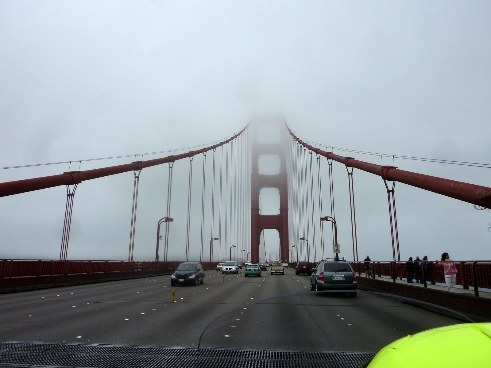
We finally make our first San Fran landmark, the Golden Gate Bridge. And yes, it is STILL foggy. You cannot see much of the bridge at all as we cross over.
Here is a photo from the northern viewing area. Again, the fog pretty much kills the view, but the photos are still interesting. Did I mention the wind kicking up? Well, it is now blowing pretty hard, and the temps have dropped into the 50's.
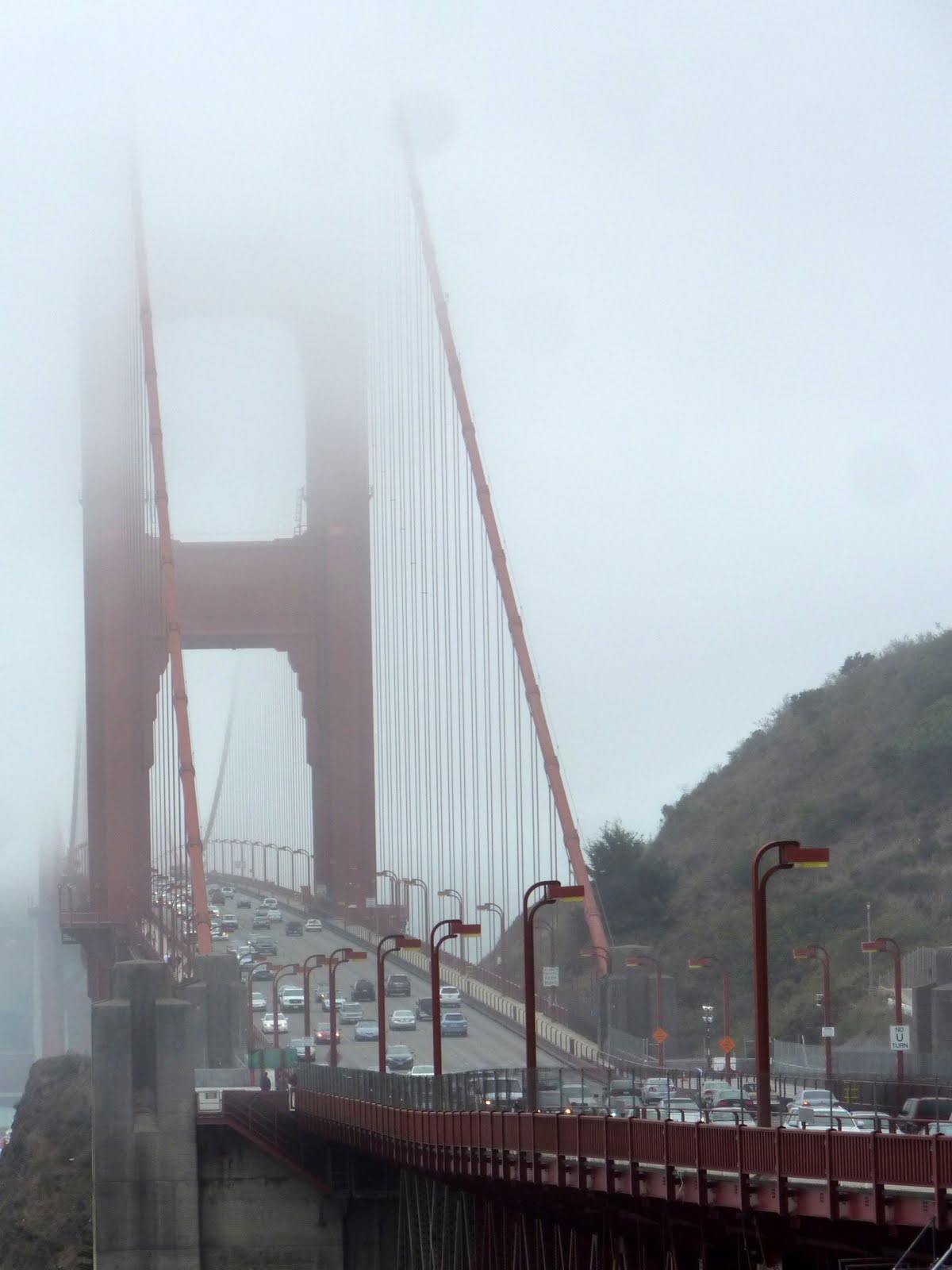
More foggy bridge shots.

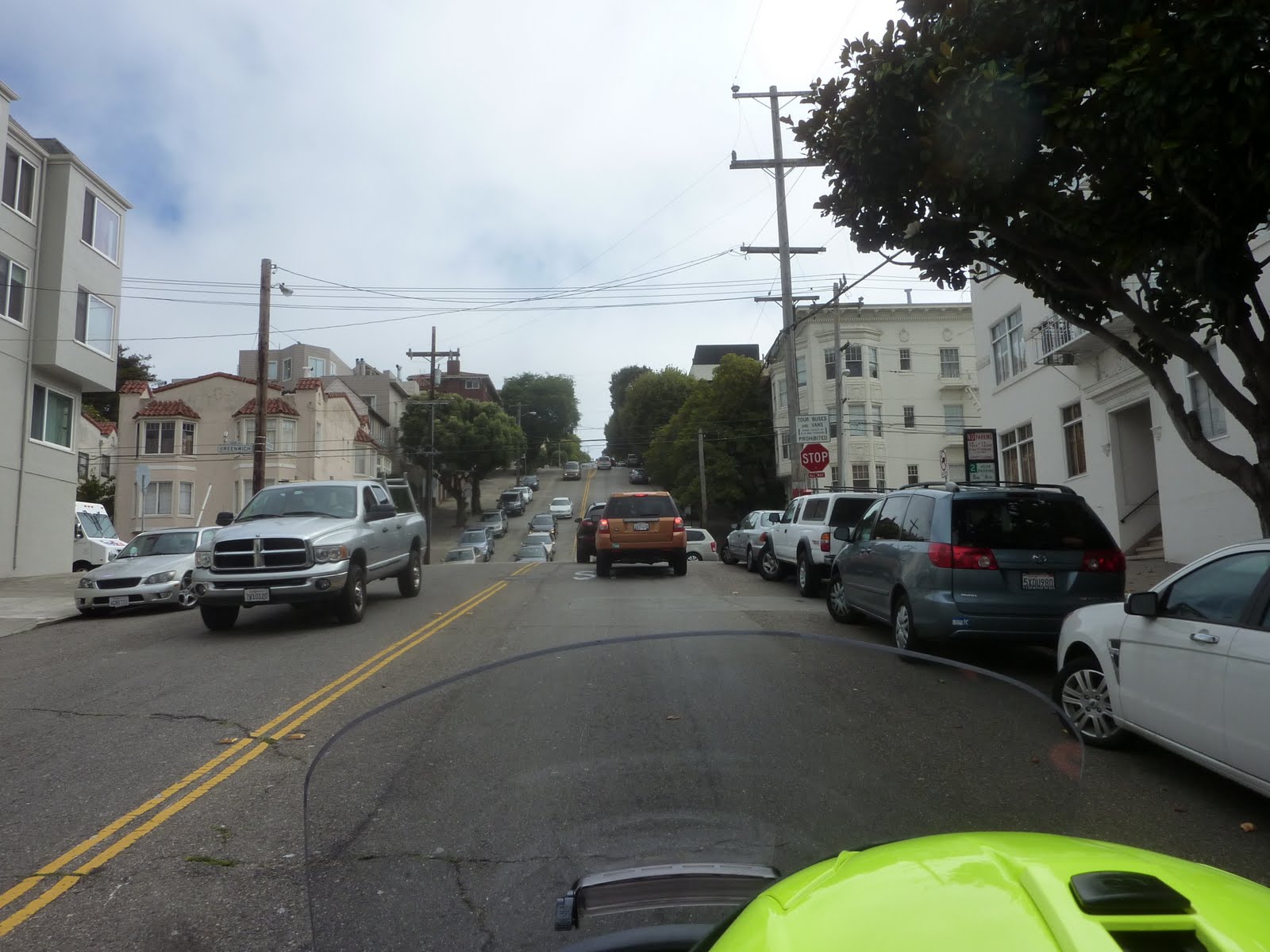
I keep saying that photos always seem to flatten out reality. This photo may give you some idea about the steepness of the downtown roads. I know riding on them makes them feel MUCH steeper than they look in the photo.
After seeing the Golden Gate Bridge, we decided to head back to our hotel to clean up and get ready for dinner. Lennie has a nephew who lives in Ohio, but has been working just outside of San Francisco for the last three years. He travels back home every couple of weeks, but he will be in town tonight. So, we are looking forward to catching up with him over some dinner this evening.
Tomorrow we will spend the day hitting some of the tourist attractions around San Francisco.
Today, we traveled 150 miles from Monterey CA to San Francisco CA. This brings the trip total to 3558 miles. Below is a map of the route from today.
Google Sites
Report abuse